Estimated Value: $436,977 - $498,000
About This Home
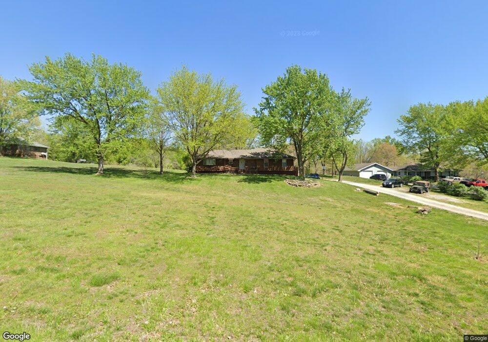
This home is located at 17711 Loop Rd, Holt, MO 64048 and is currently estimated at $463,994, approximately $259 per square foot. 17711 Loop Rd is a home located in Clay County with nearby schools including Kearney Junior High School, Kearney High School, and Northern Hills Christian Academy.
Ownership History
We collect this data history from publicly available records. To have your information removed, we recommend requesting removal directly through your county’s website.
Purchase Details
Home Financials for this Owner
Home Financials are based on the most recent Mortgage that was taken out on this home.Home Values in the Area
Average Home Value in this Area
Purchase History
We collect this data history from publicly available records. To have your information removed, we recommend requesting removal directly through your county’s website.
| Date | Buyer | Sale Price | Title Company |
|---|---|---|---|
| -- | None Listed On Document | ||
| -- | United Title Company |
Mortgage History
We collect this data history from publicly available records. To have your information removed, we recommend requesting removal directly through your county’s website.
| Date | Status | Borrower | Loan Amount |
|---|---|---|---|
| Closed | $146,250 | ||
| Closed | $134,000 |
Tax History
We collect this data history from publicly available records. To have your information removed, we recommend requesting removal directly through your county’s website.
| Year | Tax Paid | Tax Assessment Tax Assessment Total Assessment is a certain percentage of the fair market value that is determined by local assessors to be the total taxable value of land and additions on the property. | Land | Improvement |
|---|---|---|---|---|
| 2025 | $3,493 | $54,320 | -- | -- |
| 2024 | $3,176 | $47,270 | -- | -- |
| 2023 | $3,031 | $47,270 | $0 | $0 |
| 2022 | $2,558 | $39,100 | $0 | $0 |
| 2021 | $2,561 | $39,102 | $5,700 | $33,402 |
| 2020 | $2,542 | $35,950 | $0 | $0 |
| 2019 | $2,551 | $35,950 | $0 | $0 |
| 2018 | $2,425 | $33,190 | $0 | $0 |
| 2017 | $2,410 | $33,190 | $5,430 | $27,760 |
| 2016 | $2,410 | $33,190 | $5,430 | $27,760 |
| 2015 | $2,344 | $33,190 | $5,430 | $27,760 |
| 2014 | $2,220 | $31,290 | $5,430 | $25,860 |
Map
- 17504 State Route 33
- 16008 NE 176th St
- Tract 2 Nation Rd
- Lot 5 Arnold Park
- Lot 5 S State C Hwy
- 13424 Henson Rd
- 13608 Raliegh Ln
- 704 Woodson St
- 19616 NE 190th St
- 615 Woodson St
- 614 Younger St
- 20622 NE 172nd St
- 907 N Cottonwood Ave
- 18211 Plattsburg Rd
- 112 E Frank St
- 1000 W 10th Ave
- 19807 NE 192nd St
- 16816 Ragsdale Rd
- 911 Crestridge Dr
- 19412 Shanks Rd
- 17725 Loop Rd
- 17722 Loop Rd
- 17804 Loop Rd
- 17712 Loop Rd
- 17811 Loop Rd
- 17705 Loop Rd
- 17704 Loop Rd
- 17720 State Route 33
- 17816 Loop Rd
- 17721 Talon Dr
- 17713 Talon Dr
- 17820 Loop Rd
- 17701 Talon Dr
- 17805 Talon Dr
- 17815 Talon Dr
- 17812 State Route 33
- 17720 Missouri 33
- 17823 Talon Dr
- 17718 Talon Dr
- 17806 Talon Dr
Ask me questions while you tour the home.