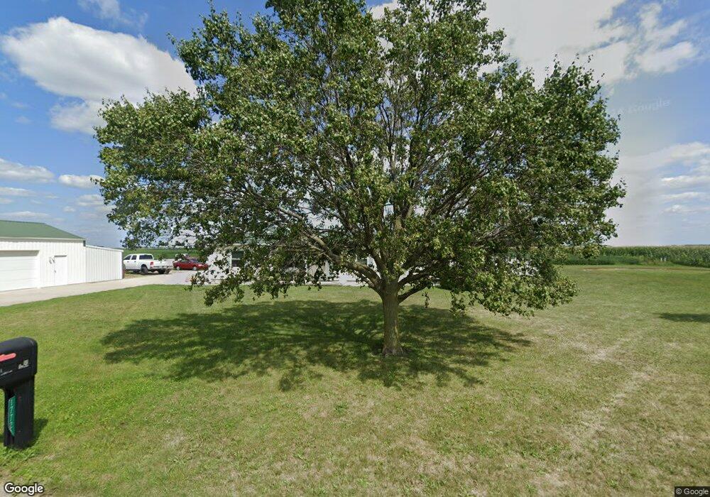
17721 Road 15 Columbus Grove, OH 45830
Estimated Value: $223,000 - $387,000
2
Beds
2
Baths
1,352
Sq Ft
$206/Sq Ft
Est. Value
About This Home
This home is located at 17721 Road 15, Columbus Grove, OH 45830 and is currently estimated at $278,035, approximately $205 per square foot. 17721 Road 15 is a home located in Putnam County with nearby schools including Columbus Grove Elementary School, Columbus Grove Middle School, and Columbus Grove High School.
Ownership History
Date
Name
Owned For
Owner Type
Purchase Details
Closed on
Apr 5, 2012
Sold by
Schroeder Gordon G and Schroeder Joy
Bought by
Neace David M and Neace Kristie M
Current Estimated Value
Home Financials for this Owner
Home Financials are based on the most recent Mortgage that was taken out on this home.
Original Mortgage
$63,750
Outstanding Balance
$44,116
Interest Rate
3.95%
Mortgage Type
Future Advance Clause Open End Mortgage
Estimated Equity
$233,919
Purchase Details
Closed on
Apr 18, 2011
Sold by
Auchmuty Larry J
Bought by
Schroeder Gordon G
Home Financials for this Owner
Home Financials are based on the most recent Mortgage that was taken out on this home.
Original Mortgage
$48,166
Interest Rate
4.86%
Mortgage Type
Purchase Money Mortgage
Purchase Details
Closed on
Jun 12, 2004
Bought by
Neace David M and Neace Kristie M
Create a Home Valuation Report for This Property
The Home Valuation Report is an in-depth analysis detailing your home's value as well as a comparison with similar homes in the area
Home Values in the Area
Average Home Value in this Area
Purchase History
| Date | Buyer | Sale Price | Title Company |
|---|---|---|---|
| Neace David M | $50,000 | Attorney | |
| Schroeder Gordon G | $56,666 | None Available | |
| Neace David M | $75,000 | -- |
Source: Public Records
Mortgage History
| Date | Status | Borrower | Loan Amount |
|---|---|---|---|
| Open | Neace David M | $63,750 | |
| Closed | Schroeder Gordon G | $48,166 |
Source: Public Records
Tax History Compared to Growth
Tax History
| Year | Tax Paid | Tax Assessment Tax Assessment Total Assessment is a certain percentage of the fair market value that is determined by local assessors to be the total taxable value of land and additions on the property. | Land | Improvement |
|---|---|---|---|---|
| 2024 | $1,937 | $64,230 | $6,150 | $58,080 |
| 2023 | $2,062 | $50,560 | $4,790 | $45,770 |
| 2022 | $1,859 | $50,562 | $4,792 | $45,770 |
| 2021 | $1,872 | $50,440 | $4,790 | $45,650 |
| 2020 | $1,874 | $39,820 | $3,990 | $35,830 |
| 2019 | $1,675 | $46,170 | $4,790 | $41,380 |
| 2018 | $1,669 | $46,170 | $4,790 | $41,380 |
| 2017 | $1,411 | $46,170 | $4,790 | $41,380 |
| 2016 | $1,411 | $39,820 | $3,990 | $35,830 |
| 2015 | $1,130 | $31,860 | $3,990 | $27,870 |
| 2014 | $1,141 | $31,860 | $3,990 | $27,870 |
| 2013 | $1,031 | $28,410 | $3,990 | $24,420 |
Source: Public Records
Map
Nearby Homes
- 15105 Road 15m
- 147 Elm St
- 148 S Water St
- 11059 Ottawa Rd
- 308 Delphos Rd
- 209 Willow Bend Dr
- 205 S Broadway St
- 204 S Broadway St
- 106 Carnation St
- 4150 W Lincoln Hwy
- 20501 U S 224
- 2525 W Lincoln Hwy
- 17736 Road 20p
- 6585 Ottawa Rd
- 300 Sweaney Ave
- 12806 Road K
- 309 Wall St
- 201 Wall St
- 220 Parklane Dr
- 202 S Main St