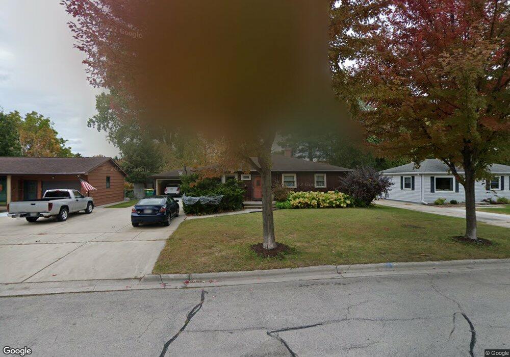
1773 Burns Ave Green Bay, WI 54303
Westside NeighborhoodEstimated Value: $252,000 - $388,000
--
Bed
--
Bath
--
Sq Ft
10,498
Sq Ft Lot
About This Home
This home is located at 1773 Burns Ave, Green Bay, WI 54303 and is currently estimated at $317,588. 1773 Burns Ave is a home located in Brown County with nearby schools including Kennedy Elementary School, Lombardi Middle School, and Southwest High School.
Ownership History
Date
Name
Owned For
Owner Type
Purchase Details
Closed on
Apr 5, 2010
Sold by
Clancey Patrick P
Bought by
Clancey Patrick P and Clancey Diane L
Current Estimated Value
Home Financials for this Owner
Home Financials are based on the most recent Mortgage that was taken out on this home.
Original Mortgage
$57,000
Interest Rate
5.05%
Mortgage Type
New Conventional
Create a Home Valuation Report for This Property
The Home Valuation Report is an in-depth analysis detailing your home's value as well as a comparison with similar homes in the area
Home Values in the Area
Average Home Value in this Area
Purchase History
| Date | Buyer | Sale Price | Title Company |
|---|---|---|---|
| Clancey Patrick P | -- | Liberty Title |
Source: Public Records
Mortgage History
| Date | Status | Borrower | Loan Amount |
|---|---|---|---|
| Closed | Clancey Patrick P | $57,000 |
Source: Public Records
Tax History Compared to Growth
Tax History
| Year | Tax Paid | Tax Assessment Tax Assessment Total Assessment is a certain percentage of the fair market value that is determined by local assessors to be the total taxable value of land and additions on the property. | Land | Improvement |
|---|---|---|---|---|
| 2024 | $4,599 | $245,600 | $39,300 | $206,300 |
| 2023 | $4,398 | $245,600 | $39,300 | $206,300 |
| 2022 | $4,297 | $245,600 | $39,300 | $206,300 |
| 2021 | $3,497 | $153,400 | $26,200 | $127,200 |
| 2020 | $3,348 | $145,700 | $26,200 | $119,500 |
| 2019 | $3,241 | $145,700 | $26,200 | $119,500 |
| 2018 | $3,167 | $145,700 | $26,200 | $119,500 |
| 2017 | $3,131 | $145,700 | $26,200 | $119,500 |
| 2016 | $3,081 | $145,700 | $26,200 | $119,500 |
| 2015 | $3,181 | $145,700 | $26,200 | $119,500 |
| 2014 | $3,158 | $145,700 | $26,200 | $119,500 |
| 2013 | $3,158 | $145,700 | $26,200 | $119,500 |
Source: Public Records
Map
Nearby Homes
- 1753 Western Ave
- 806 Sunny Ln Unit 808
- 1159 Michaline Dr
- 510 Lambeau St
- 1779 9th St
- 1306 Nelson St Unit 1308
- 1527 N Mennen Ct
- 838 S Fisk St
- 1825 Parkland Way
- 1123 S Fisk St
- 1428 Argonne Dr
- 1201 S Fisk St
- 1716 Nancy Ave
- 1526 Rockdale St
- 1522 Argonne Dr
- 1411 Shawano Ave
- 1255 Loch Dr
- 1663 Birchwood Dr
- 1773 Bond St
- 1427 Russell St