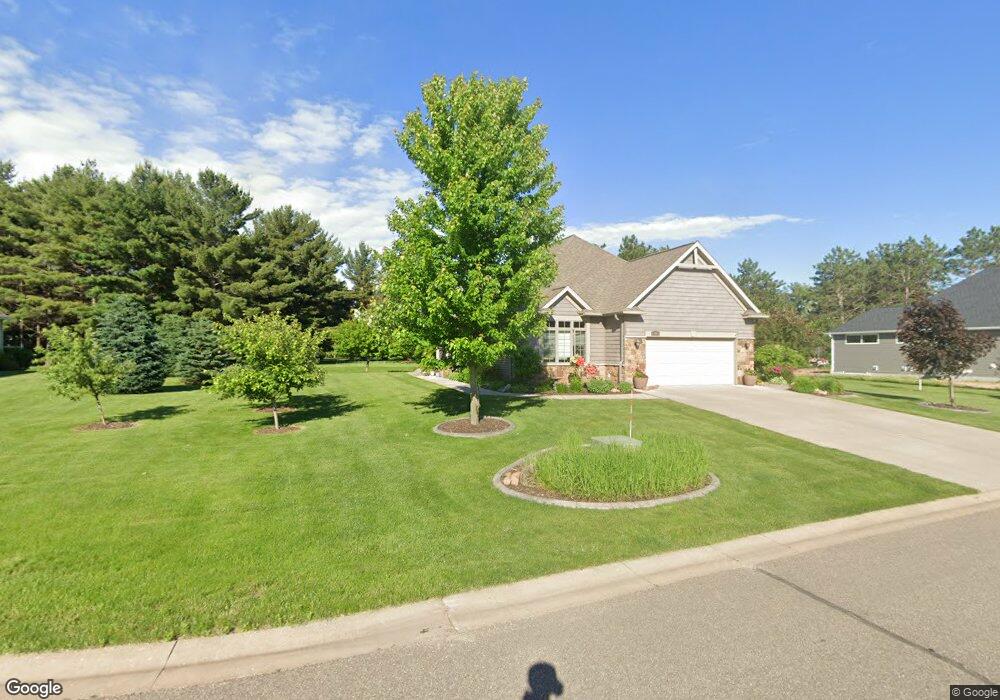
1773 George Norman Dr Unit 6 New Richmond, WI 54017
Estimated Value: $417,000 - $571,000
3
Beds
3
Baths
2,509
Sq Ft
$194/Sq Ft
Est. Value
About This Home
This home is located at 1773 George Norman Dr Unit 6, New Richmond, WI 54017 and is currently estimated at $485,768, approximately $193 per square foot. 1773 George Norman Dr Unit 6 is a home located in St. Croix County with nearby schools including New Richmond High School and St. Mary School.
Ownership History
Date
Name
Owned For
Owner Type
Purchase Details
Closed on
Dec 29, 2022
Sold by
Stanke Randall V and Stanke Kathryn M
Bought by
Stanke Randall V and Stanke Kathryn M
Current Estimated Value
Purchase Details
Closed on
Jul 1, 2016
Sold by
Moore James R
Bought by
Stanke Randall and Stanke Kathryn M
Purchase Details
Closed on
Mar 31, 2014
Sold by
Lawhon Robert P and Lawhon Vanessa
Bought by
Moore James R
Home Financials for this Owner
Home Financials are based on the most recent Mortgage that was taken out on this home.
Original Mortgage
$251,347
Interest Rate
3.99%
Mortgage Type
FHA
Purchase Details
Closed on
May 15, 2008
Sold by
Dogleg Development Llc
Bought by
Lawhon Robert P and Lawhon Vanessa
Create a Home Valuation Report for This Property
The Home Valuation Report is an in-depth analysis detailing your home's value as well as a comparison with similar homes in the area
Home Values in the Area
Average Home Value in this Area
Purchase History
| Date | Buyer | Sale Price | Title Company |
|---|---|---|---|
| Stanke Randall V | -- | None Listed On Document | |
| Stanke Randall | $257,000 | Westconsin Title Services | |
| Moore James R | $256,000 | Scat | |
| Lawhon Robert P | $270,000 | None Available |
Source: Public Records
Mortgage History
| Date | Status | Borrower | Loan Amount |
|---|---|---|---|
| Previous Owner | Moore James R | $251,347 |
Source: Public Records
Tax History Compared to Growth
Tax History
| Year | Tax Paid | Tax Assessment Tax Assessment Total Assessment is a certain percentage of the fair market value that is determined by local assessors to be the total taxable value of land and additions on the property. | Land | Improvement |
|---|---|---|---|---|
| 2024 | $63 | $433,000 | $35,000 | $398,000 |
| 2023 | $5,906 | $421,600 | $35,000 | $386,600 |
| 2022 | $5,638 | $373,900 | $35,000 | $338,900 |
| 2021 | $4,831 | $368,900 | $30,000 | $338,900 |
| 2020 | $4,911 | $207,600 | $30,000 | $177,600 |
| 2019 | $4,674 | $207,600 | $30,000 | $177,600 |
| 2018 | $4,714 | $207,600 | $30,000 | $177,600 |
| 2017 | $4,532 | $207,600 | $30,000 | $177,600 |
| 2016 | $4,532 | $207,600 | $30,000 | $177,600 |
| 2015 | $4,607 | $207,600 | $30,000 | $177,600 |
| 2014 | $4,497 | $207,600 | $30,000 | $177,600 |
| 2013 | $5,381 | $251,500 | $30,000 | $221,500 |
Source: Public Records
Map
Nearby Homes
- 1777 George Norman Dr
- 1787 Saint Andrews Place
- 1206 Pinecrest Rd
- 1176 Carroll St
- 1418 Bluff Border Rd
- 1142 W Edge Place
- 941 W Edge Place Unit 14
- XXXX 110th St
- 305 S Pierson Ave
- 1016 W Ridge Ct
- 1337 Eagle Ct
- 1272 Pheasant Run
- 1561 Creekwood Dr
- 1705 107th St
- 1539 Creekwood Dr
- Hudson Plan at The Creek at Gloverdale
- Kenny Plan at The Creek at Gloverdale
- Ashlyn Plan at The Creek at Gloverdale
- Nora Plan at The Creek at Gloverdale
- Sully Plan at The Creek at Gloverdale
- 1769 George Norman Dr Unit 8
- 1771 George Norman Dr
- 1783 George Norman Dr Unit 1
- 1779 George Norman Dr Unit 3
- 1767 George Norman Dr Unit 9
- 1765 George Norman Dr
- 1781 George Norman Dr
- 1767 George Norman Dr
- 1779 George Norman Dr
- 1763 George Norman Dr
- 1783 George Norman Dr
- 1761 George Norman Dr
- 1775 George Norman Dr Unit 1
- 1775 George Norman Dr
- 262 County Road K
- 274 County Road K
- 1753 George Norman Dr
- Lot 7 George Norman (Golfside Villas) Dr
- 0 Cty Road K Unit 4337432
- 11 & 12 Cty Road K