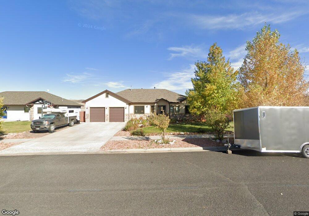
1773 Inca Dr Laramie, WY 82072
Estimated Value: $529,000 - $685,000
4
Beds
5
Baths
1,918
Sq Ft
$324/Sq Ft
Est. Value
About This Home
This home is located at 1773 Inca Dr, Laramie, WY 82072 and is currently estimated at $622,180, approximately $324 per square foot. 1773 Inca Dr is a home located in Albany County with nearby schools including Indian Paintbrush Elementary School, Laramie Middle School, and Laramie High School.
Ownership History
Date
Name
Owned For
Owner Type
Purchase Details
Closed on
Aug 26, 2015
Sold by
Parhamovich Jeffrey L and Farrell Mary M
Bought by
Adair Jason L and Adair Janice L
Current Estimated Value
Home Financials for this Owner
Home Financials are based on the most recent Mortgage that was taken out on this home.
Original Mortgage
$328,700
Outstanding Balance
$260,008
Interest Rate
4.12%
Mortgage Type
New Conventional
Estimated Equity
$362,172
Purchase Details
Closed on
Jul 22, 2008
Sold by
Jarrah Ahmad and Jarrah Mona
Bought by
Parhamovich Jeffrey L and Farrell Mary M
Home Financials for this Owner
Home Financials are based on the most recent Mortgage that was taken out on this home.
Original Mortgage
$332,000
Interest Rate
6.36%
Mortgage Type
New Conventional
Purchase Details
Closed on
Mar 22, 2007
Sold by
Laramie Ridge Inc
Bought by
Jarrah Ahmad and Jarrah Mona
Create a Home Valuation Report for This Property
The Home Valuation Report is an in-depth analysis detailing your home's value as well as a comparison with similar homes in the area
Home Values in the Area
Average Home Value in this Area
Purchase History
| Date | Buyer | Sale Price | Title Company |
|---|---|---|---|
| Adair Jason L | -- | Summit Title Services | |
| Parhamovich Jeffrey L | -- | -- | |
| Jarrah Ahmad | -- | -- |
Source: Public Records
Mortgage History
| Date | Status | Borrower | Loan Amount |
|---|---|---|---|
| Open | Adair Jason L | $328,700 | |
| Previous Owner | Parhamovich Jeffrey L | $332,000 |
Source: Public Records
Tax History Compared to Growth
Tax History
| Year | Tax Paid | Tax Assessment Tax Assessment Total Assessment is a certain percentage of the fair market value that is determined by local assessors to be the total taxable value of land and additions on the property. | Land | Improvement |
|---|---|---|---|---|
| 2025 | $4,115 | $43,351 | $6,500 | $36,851 |
| 2024 | $4,115 | $56,368 | $9,123 | $47,245 |
| 2023 | $3,987 | $54,621 | $8,095 | $46,526 |
| 2022 | $3,843 | $52,650 | $7,935 | $44,715 |
| 2021 | $3,209 | $43,959 | $7,406 | $36,553 |
| 2020 | $2,962 | $40,581 | $7,665 | $32,916 |
| 2019 | $2,914 | $39,913 | $7,852 | $32,061 |
| 2018 | $2,919 | $39,990 | $7,852 | $32,138 |
| 2017 | $2,904 | $39,776 | $7,458 | $32,318 |
| 2016 | $2,740 | $37,537 | $7,458 | $30,079 |
| 2015 | $2,768 | $37,921 | $7,030 | $30,891 |
| 2014 | $2,680 | $36,712 | $0 | $0 |
Source: Public Records
Map
Nearby Homes
- 3734 Reynolds St
- TBD Hayford Ave
- 1772 Eaglecrest Ct
- 4106 Kiowa Dr
- 1050 N Indian Hills Dr
- 4324 Pueblo Dr
- 1071 Duna Dr
- 4421 Shoshone Dr
- 4341 E Crow Dr
- 1062 Bonita Dr
- 2611 Reynolds St Unit A
- 1766 N 23rd St
- 2122 E Curtis St
- 1554 Henry Dr
- 1150 N 18th St
- 1520 W Hill Rd
- 2167 N 16th St
- 1515 Beaufort St
- 417 Stetson Ct
- 1257 N 15th St Unit H