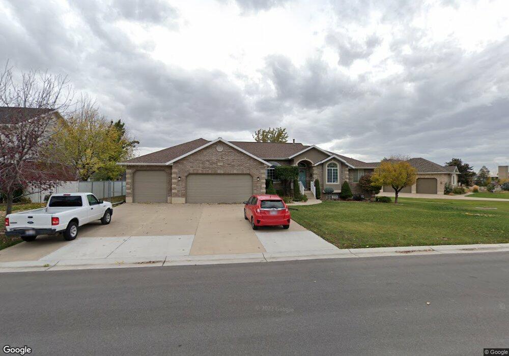
1773 Phillips St Kaysville, UT 84037
West Kaysville NeighborhoodEstimated Value: $834,000 - $868,117
--
Bed
5
Baths
1,939
Sq Ft
$438/Sq Ft
Est. Value
About This Home
This home is located at 1773 Phillips St, Kaysville, UT 84037 and is currently estimated at $850,029, approximately $438 per square foot. 1773 Phillips St is a home located in Davis County with nearby schools including Kay's Creek Elementary School, Shoreline Junior High School, and Davis High School.
Ownership History
Date
Name
Owned For
Owner Type
Purchase Details
Closed on
Aug 21, 2025
Sold by
Adam Connie L
Bought by
Connie L Adam Revocable Living Trust and Adam
Current Estimated Value
Purchase Details
Closed on
Jun 13, 2025
Sold by
Adam Family Revocable Living Trust and Adam Dean R
Bought by
Adam Connie L
Purchase Details
Closed on
Oct 23, 2020
Sold by
Adam Dean R and Adam Connie L
Bought by
Adam Dean R and Adam Connie L
Purchase Details
Closed on
Aug 10, 1998
Sold by
Green L Dale
Bought by
Adam Dean R and Adam Connie L
Home Financials for this Owner
Home Financials are based on the most recent Mortgage that was taken out on this home.
Original Mortgage
$120,000
Interest Rate
6.95%
Purchase Details
Closed on
May 30, 1997
Sold by
Green L Dale and Green Edward D
Bought by
Green L Dale
Create a Home Valuation Report for This Property
The Home Valuation Report is an in-depth analysis detailing your home's value as well as a comparison with similar homes in the area
Home Values in the Area
Average Home Value in this Area
Purchase History
| Date | Buyer | Sale Price | Title Company |
|---|---|---|---|
| Connie L Adam Revocable Living Trust | -- | None Listed On Document | |
| Adam Connie L | -- | None Listed On Document | |
| Adam Connie L | -- | None Listed On Document | |
| Adam Dean R | -- | None Available | |
| Adam Dean R | -- | Security Title | |
| Green L Dale | -- | Security Title Company |
Source: Public Records
Mortgage History
| Date | Status | Borrower | Loan Amount |
|---|---|---|---|
| Previous Owner | Adam Dean R | $120,000 |
Source: Public Records
Tax History Compared to Growth
Tax History
| Year | Tax Paid | Tax Assessment Tax Assessment Total Assessment is a certain percentage of the fair market value that is determined by local assessors to be the total taxable value of land and additions on the property. | Land | Improvement |
|---|---|---|---|---|
| 2025 | $4,039 | $419,650 | $221,701 | $197,949 |
| 2024 | $3,760 | $396,550 | $210,717 | $185,833 |
| 2023 | $3,770 | $704,000 | $371,532 | $332,468 |
| 2022 | $3,859 | $404,250 | $202,687 | $201,563 |
| 2021 | $3,611 | $567,000 | $244,800 | $322,200 |
| 2020 | $3,277 | $501,000 | $209,756 | $291,244 |
| 2019 | $3,144 | $472,000 | $207,972 | $264,028 |
| 2018 | $2,933 | $439,000 | $176,688 | $262,312 |
| 2016 | $2,921 | $229,845 | $82,361 | $147,484 |
| 2015 | $2,863 | $213,895 | $82,361 | $131,534 |
| 2014 | $2,647 | $201,364 | $66,010 | $135,354 |
| 2013 | -- | $178,343 | $53,401 | $124,942 |
Source: Public Records
Map
Nearby Homes
- 774 W Farming Way
- 1038 S Old Towne Rd
- 256 Seemore Dr
- 1042 W Shoreline Dr
- 562 S 850 W
- 71 S Harvs Ln
- Creighton Farmhouse Plan at Angel Hill
- 1429 W Lincoln Way
- 461 W Summit Ln
- 129 N Mountain Vistas Rd
- 1845 W Sherri Ln
- Brinton Signature Plan at Pintail Estates
- 34 S Preston St
- 37 S Preston St Unit 10
- 267 S Melody St
- 268 E 900 S
- 557 S Angel St
- 51 N Hayfield Cir
- 362 S 950 W
- 282 E 925 S
- 1773 W Phillips St
- 1791 Phillips St
- 1757 Phillips St
- 1480 W Phillips St
- 1741 W Phillips St
- 1934 W 550 N
- 1805 Phillips St
- 1741 Phillips St
- 1742 W Phillips St
- 1922 W 550 N
- 1766 Phillips St
- 1729 W Phillips St
- 547 Anita Dr
- 1729 Phillips St
- 1730 Phillips St
- 1908 W 550 N
- 460 W Phillips St
- 1718 W Phillips St
- 1772 W Phillips St
- 541 Anita Dr