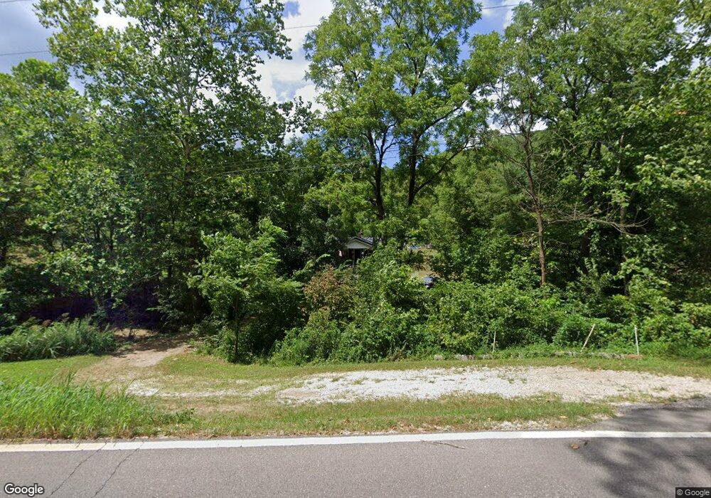
17731 State Route 775 Willow Wood, OH 45696
Estimated Value: $85,801 - $165,000
3
Beds
1
Bath
1,060
Sq Ft
$116/Sq Ft
Est. Value
About This Home
This home is located at 17731 State Route 775, Willow Wood, OH 45696 and is currently estimated at $122,700, approximately $115 per square foot. 17731 State Route 775 is a home located in Lawrence County with nearby schools including Symmes Valley Elementary School and Symmes Valley High School.
Ownership History
Date
Name
Owned For
Owner Type
Purchase Details
Closed on
Apr 7, 2009
Sold by
Estate Of William Justice
Bought by
Watson Deborah Gay and Justice Joseph Dwayne
Current Estimated Value
Purchase Details
Closed on
Mar 30, 1998
Sold by
Wilson Garnet S
Bought by
Blake Betty Ruth
Purchase Details
Closed on
Dec 9, 1997
Sold by
Fannin Danny Elmo and Fannin Garn
Bought by
Wilson Garnet S
Purchase Details
Closed on
Nov 25, 1997
Sold by
Justice Robert C and Justice D
Bought by
Fannin Danny Elmo and Fannin Garn
Purchase Details
Closed on
Sep 4, 1986
Sold by
Justice William
Bought by
Justice Robert C and Justice D
Create a Home Valuation Report for This Property
The Home Valuation Report is an in-depth analysis detailing your home's value as well as a comparison with similar homes in the area
Home Values in the Area
Average Home Value in this Area
Purchase History
| Date | Buyer | Sale Price | Title Company |
|---|---|---|---|
| Watson Deborah Gay | -- | None Available | |
| Blake Betty Ruth | $15,000 | -- | |
| Wilson Garnet S | -- | -- | |
| Fannin Danny Elmo | $36,000 | -- | |
| Justice Robert C | $27,000 | -- |
Source: Public Records
Tax History Compared to Growth
Tax History
| Year | Tax Paid | Tax Assessment Tax Assessment Total Assessment is a certain percentage of the fair market value that is determined by local assessors to be the total taxable value of land and additions on the property. | Land | Improvement |
|---|---|---|---|---|
| 2024 | -- | $17,570 | $2,490 | $15,080 |
| 2023 | $245 | $17,570 | $2,490 | $15,080 |
| 2022 | $255 | $17,570 | $2,490 | $15,080 |
| 2021 | $155 | $14,350 | $2,130 | $12,220 |
| 2020 | $171 | $14,350 | $2,130 | $12,220 |
| 2019 | $179 | $14,350 | $2,130 | $12,220 |
| 2018 | $189 | $14,660 | $2,130 | $12,530 |
| 2017 | $189 | $14,660 | $2,130 | $12,530 |
| 2016 | $173 | $14,660 | $2,130 | $12,530 |
| 2015 | $190 | $15,230 | $2,090 | $13,140 |
| 2014 | $190 | $15,230 | $2,090 | $13,140 |
| 2013 | $190 | $15,230 | $2,090 | $13,140 |
Source: Public Records
Map
Nearby Homes
- 0 Ohio 775
- 321 Township Road 75 S
- 174 Township Road 74
- 18325 State Route 141
- 13498 County Road 2
- 0 County Road 213
- 168 Township Road 122 W
- 479 Township Road 122
- 0 Ohio 141
- 266 Twp Rd 209
- 1102 County Road 8
- 7381 County Road 16
- 784 Township Road 209
- 0 Venisonham-Camp Branch Rd Unit Tract 2
- 0 Venisonham-Camp Branch Rd Unit Tract 1
- 0 Venisonham-Camp Branch Rd
- 0 Venisonham-Camp Branch Rd Unit 25766693
- 0 Venisonham-Camp Branch Rd Unit 3
- 0 Dillon Ridge Unit 23651508
- 0 Dillon Ridge Unit 181305
- 18055 State Route 775
- 18011 State Route 775
- 32 Township Road 75 W
- 17904 State Route 775
- 17497 State Route 775
- 17312 State Route 775
- 18255 State Route 775
- 17440 State Route 775
- 284 Township Road 75 W
- 17174 State Route 775
- 18389 State Route 775
- 17093 State Route 775
- 17093 State Route 775
- 895 Township Road 177
- 16925 State Route 775
- 18637 State Route 775
- 1691 Township Road 177
- 1096 Township Road 177
- 16726 State Route 775
- 1490 Township Road 177