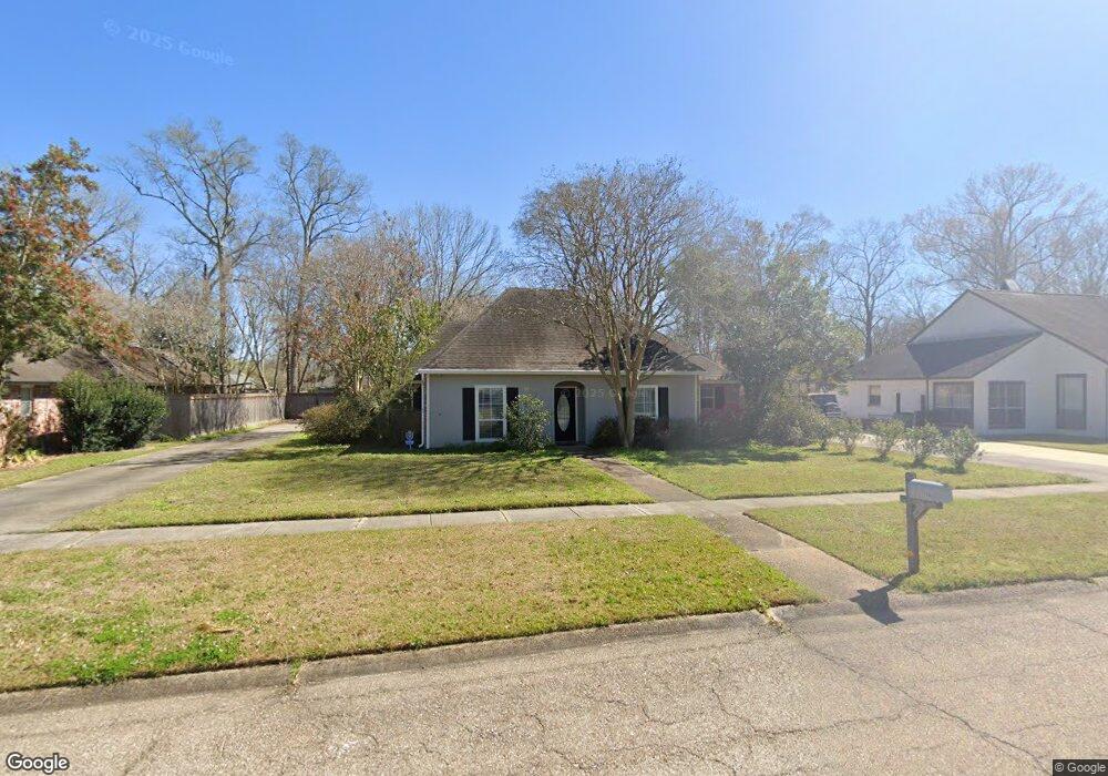
17738 General Forrest Ave Baton Rouge, LA 70817
Shenandoah NeighborhoodEstimated Value: $338,000 - $354,850
4
Beds
3
Baths
2,342
Sq Ft
$147/Sq Ft
Est. Value
About This Home
This home is located at 17738 General Forrest Ave, Baton Rouge, LA 70817 and is currently estimated at $343,213, approximately $146 per square foot. 17738 General Forrest Ave is a home located in East Baton Rouge Parish with nearby schools including Shenandoah Elementary School, Woodlawn Middle School, and Woodlawn High School.
Ownership History
Date
Name
Owned For
Owner Type
Purchase Details
Closed on
Dec 30, 2010
Sold by
Montgomery Stephen C
Bought by
Dalferes Joseph L
Current Estimated Value
Home Financials for this Owner
Home Financials are based on the most recent Mortgage that was taken out on this home.
Original Mortgage
$135,000
Outstanding Balance
$3,907
Interest Rate
3.79%
Mortgage Type
New Conventional
Estimated Equity
$339,306
Create a Home Valuation Report for This Property
The Home Valuation Report is an in-depth analysis detailing your home's value as well as a comparison with similar homes in the area
Home Values in the Area
Average Home Value in this Area
Purchase History
| Date | Buyer | Sale Price | Title Company |
|---|---|---|---|
| Dalferes Joseph L | $229,900 | -- |
Source: Public Records
Mortgage History
| Date | Status | Borrower | Loan Amount |
|---|---|---|---|
| Open | Dalferes Joseph L | $135,000 |
Source: Public Records
Tax History Compared to Growth
Tax History
| Year | Tax Paid | Tax Assessment Tax Assessment Total Assessment is a certain percentage of the fair market value that is determined by local assessors to be the total taxable value of land and additions on the property. | Land | Improvement |
|---|---|---|---|---|
| 2024 | $2,409 | $27,588 | $2,400 | $25,188 |
| 2023 | $2,409 | $23,000 | $2,400 | $20,600 |
| 2022 | $2,687 | $23,000 | $2,400 | $20,600 |
| 2021 | $2,637 | $23,000 | $2,400 | $20,600 |
| 2020 | $2,670 | $23,000 | $2,400 | $20,600 |
| 2019 | $2,776 | $23,000 | $2,400 | $20,600 |
| 2018 | $2,741 | $23,000 | $2,400 | $20,600 |
| 2017 | $2,741 | $23,000 | $2,400 | $20,600 |
| 2016 | $1,811 | $23,000 | $2,400 | $20,600 |
| 2015 | $1,811 | $23,000 | $2,400 | $20,600 |
| 2014 | $1,773 | $23,000 | $2,400 | $20,600 |
| 2013 | -- | $23,000 | $2,400 | $20,600 |
Source: Public Records
Map
Nearby Homes
- 5246 Stones River Ave
- 5487 Hagerstown Dr
- 17633 E Fort Pickens Ave
- 17845 Coffee Rd
- 5730 N Shore Dr
- 5211 Fort Gregg Dr
- 17630 Creek Hollow Rd
- 18343 Wildlife Way Dr
- 6130 Wildlife Way Ct
- 5821 Fort Sumpter Dr
- 6046 Hagerstown Dr
- 16817 Ticonderoga Ave
- 16825 Chadsford Ave
- 6041 Cottage Row Dr
- 4633 Elm Shadow Dr
- 16756 Merrimac Ave
- 17237 Monitor Ave
- 6134 Hagerstown Dr
- 5532 Summer Lake Dr
- 6813 Garden Hill Dr
- 17748 General Forrest Ave
- 17728 General Forrest Ave
- 17718 General Forrest Ave
- 17758 General Forrest Ave
- 17739 E General Forest
- 17739 General Forrest Ave
- 17729 General Forrest Ave
- 17749 General Forrest Ave
- 17749 General Forrest Ave
- 17719 E General Forest
- 17646 General Forrest Ave
- 17768 General Forrest Ave
- 18155 Creek Hollow Rd
- 17759 General Forrest Ave
- 17647 General Forrest Ave
- 18125 Creek Hollow Rd
- 18165 Creek Hollow Rd
- 17769 General Forrest Ave
- 18111 Creek Hollow Rd
- 17636 General Forrest Ave