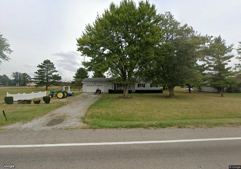
17738 State Route 196 Waynesfield, OH 45896
Estimated Value: $136,000 - $201,694
3
Beds
2
Baths
1,180
Sq Ft
$145/Sq Ft
Est. Value
About This Home
This home is located at 17738 State Route 196, Waynesfield, OH 45896 and is currently estimated at $170,924, approximately $144 per square foot. 17738 State Route 196 is a home located in Auglaize County with nearby schools including Waynesfield-Goshen Local Elementary School and Waynesfield-Goshen Local High School.
Ownership History
Date
Name
Owned For
Owner Type
Purchase Details
Closed on
Apr 23, 2010
Sold by
Federal Home Loan Mortgage Corporation
Bought by
Bacome James
Current Estimated Value
Purchase Details
Closed on
Mar 1, 2010
Sold by
Latimore Joey L
Bought by
Federal Home Loan Mortgage Corp
Purchase Details
Closed on
Nov 1, 2004
Sold by
Foor Jo Ann
Bought by
Latimore Joey L
Purchase Details
Closed on
Jun 3, 2004
Sold by
Eusebio Melody
Bought by
Foor Jo Ann
Purchase Details
Closed on
Jan 23, 2003
Sold by
Foor Joann
Bought by
Eusebio Melody
Purchase Details
Closed on
Dec 12, 2001
Sold by
Foor Donivan
Bought by
Foor Joann
Purchase Details
Closed on
Aug 13, 1998
Sold by
Ellicker John
Bought by
Foor Donivan
Create a Home Valuation Report for This Property
The Home Valuation Report is an in-depth analysis detailing your home's value as well as a comparison with similar homes in the area
Home Values in the Area
Average Home Value in this Area
Purchase History
| Date | Buyer | Sale Price | Title Company |
|---|---|---|---|
| Bacome James | $47,500 | Community First Title | |
| Federal Home Loan Mortgage Corp | $58,000 | Attorney | |
| Latimore Joey L | $90,000 | -- | |
| Foor Jo Ann | -- | -- | |
| Eusebio Melody | -- | -- | |
| Foor Joann | -- | -- | |
| Foor Donivan | $37,500 | -- |
Source: Public Records
Tax History Compared to Growth
Tax History
| Year | Tax Paid | Tax Assessment Tax Assessment Total Assessment is a certain percentage of the fair market value that is determined by local assessors to be the total taxable value of land and additions on the property. | Land | Improvement |
|---|---|---|---|---|
| 2024 | $3,439 | $54,670 | $6,400 | $48,270 |
| 2023 | $1,930 | $54,670 | $6,400 | $48,270 |
| 2022 | $1,551 | $36,930 | $5,810 | $31,120 |
| 2021 | $1,539 | $36,930 | $5,810 | $31,120 |
| 2020 | $1,522 | $36,929 | $5,814 | $31,115 |
| 2019 | $1,238 | $30,772 | $4,844 | $25,928 |
| 2018 | $1,204 | $30,772 | $4,844 | $25,928 |
| 2017 | $1,213 | $30,772 | $4,844 | $25,928 |
| 2016 | $1,126 | $29,387 | $4,617 | $24,770 |
| 2015 | $1,701 | $29,387 | $4,617 | $24,770 |
| 2014 | $1,092 | $29,387 | $4,617 | $24,770 |
| 2013 | $1,956 | $29,387 | $4,617 | $24,770 |
Source: Public Records
Map
Nearby Homes
- 105 Guthrie St
- 202 W Mulberry St
- 25836 Ohio 67
- 22275 Buckland Holden Rd
- 8150 Amherst Rd
- 5065 Amherst Rd
- 20630 State Route 67
- 7165 Faulkner Rd
- 6616 Bellefontaine Rd
- 6381 McPheron Rd
- 17 E Walnut St
- 0 Ohio 67
- 37 N Main St
- E Hanthorn Rd
- 5600 E Hanthorn Rd
- 4160 E Hanthorn Rd
- 200 S Main St
- 1855 S Cool Rd
- 0 Ohio 235
- 11352 N Township Road 88
- 17738 Ohio 196
- 17712 State Route 196
- 17772 State Route 196
- 17674 State Route 196
- 17772 Ohio 196
- 17650 State Route 196
- 101 Sunrise Dr
- 17846 State Route 196
- 526 N Westminster St
- 100 Sunrise Dr
- 17833 State Route 196
- 535 N Westminster St
- 602 Morning Glory Dr
- 509 Morning Glory Dr
- 17868 State Route 196
- 522 N Westminster St
- 512 Morning Glory Dr