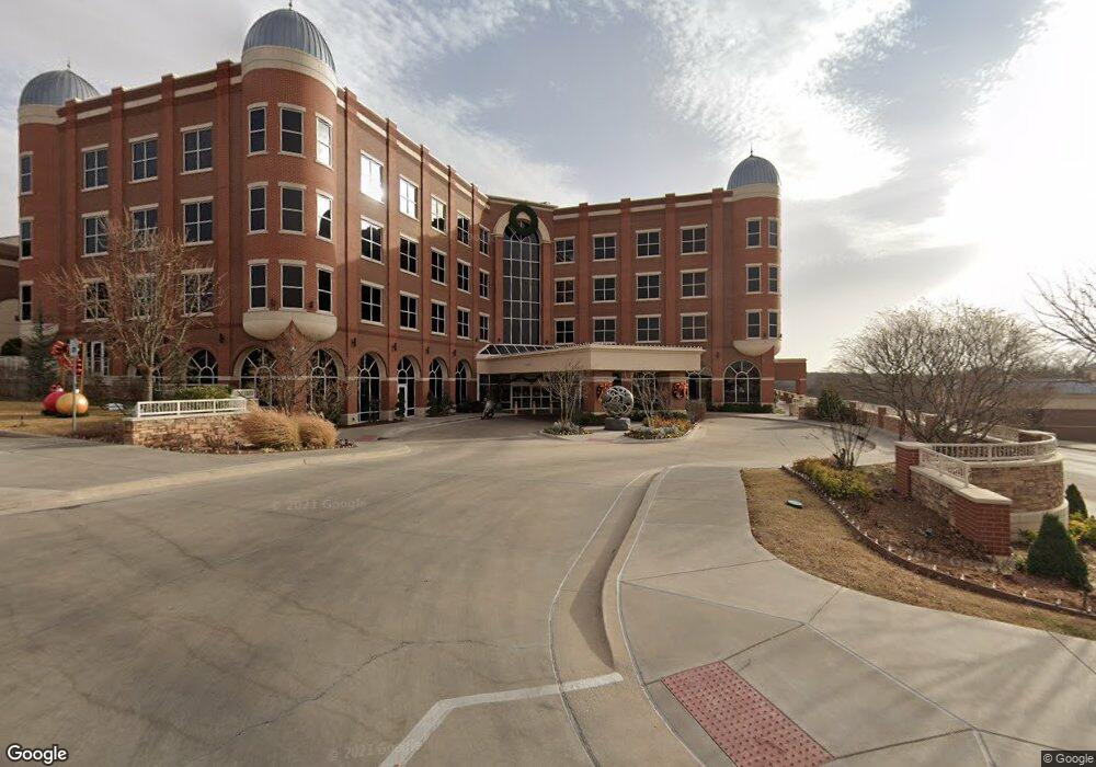
1774 181s3e113 S Sulphur, OK 73086
Estimated Value: $275,000 - $394,000
1
Bed
1
Bath
720
Sq Ft
$468/Sq Ft
Est. Value
About This Home
This home is located at 1774 181s3e113 S, Sulphur, OK 73086 and is currently estimated at $337,000, approximately $468 per square foot. 1774 181s3e113 S is a home with nearby schools including Sulphur Elementary School, Sulphur Intermediate School, and Sulphur Middle School.
Ownership History
Date
Name
Owned For
Owner Type
Purchase Details
Closed on
Aug 9, 2022
Sold by
Red Rock Estates Llc
Bought by
Lee Carlton Robert and Lee Pamela L
Current Estimated Value
Purchase Details
Closed on
May 18, 2022
Sold by
Antler Ridge Cabins Llca
Bought by
Ore Holdings Llc
Home Financials for this Owner
Home Financials are based on the most recent Mortgage that was taken out on this home.
Original Mortgage
$308,000
Interest Rate
5.3%
Mortgage Type
New Conventional
Purchase Details
Closed on
Feb 6, 2015
Sold by
Winters Mark and Winters Wanda
Bought by
Antler Ridge Cabins Llc
Create a Home Valuation Report for This Property
The Home Valuation Report is an in-depth analysis detailing your home's value as well as a comparison with similar homes in the area
Home Values in the Area
Average Home Value in this Area
Purchase History
| Date | Buyer | Sale Price | Title Company |
|---|---|---|---|
| Lee Carlton Robert | $30,000 | None Listed On Document | |
| Ore Holdings Llc | $385,000 | American Eagle Title | |
| Antler Ridge Cabins Llc | -- | -- | |
| Antler Ridge Cabins Llc | -- | None Available |
Source: Public Records
Mortgage History
| Date | Status | Borrower | Loan Amount |
|---|---|---|---|
| Previous Owner | Ore Holdings Llc | $308,000 |
Source: Public Records
Tax History Compared to Growth
Tax History
| Year | Tax Paid | Tax Assessment Tax Assessment Total Assessment is a certain percentage of the fair market value that is determined by local assessors to be the total taxable value of land and additions on the property. | Land | Improvement |
|---|---|---|---|---|
| 2023 | $4,070 | $42,350 | $3,685 | $38,665 |
| 2022 | $2,942 | $32,658 | $3,685 | $28,973 |
| 2021 | $3,101 | $35,567 | $2,948 | $32,619 |
| 2020 | $3,094 | $35,567 | $2,948 | $32,619 |
| 2019 | $3,168 | $35,567 | $2,948 | $32,619 |
| 2018 | $3,205 | $35,567 | $2,948 | $32,619 |
| 2017 | $3,229 | $35,567 | $2,948 | $32,619 |
| 2016 | $3,313 | $35,567 | $2,948 | $32,619 |
| 2015 | $971 | $11,220 | $220 | $11,000 |
| 2014 | $902 | $11,220 | $220 | $11,000 |
Source: Public Records
Map
Nearby Homes
- 2010 Shady Cove
- 6335 Watson Rd
- 145 Rackley Rd
- 0 Millennium Jct
- 3444 N Point Ln
- 0 Cooper Memorial Dr
- 3562 Mountain Park Dr
- 0 Hilltop Dr N
- 2093 Castle Rock Dr
- 2676 Masters Rd
- 2688 Masters Rd
- 2664 Spence Rd
- 2516 Elm Rd
- 1830 Patton Dr
- 2393 Masters Rd
- 2488 La Vista St
- 2131 Sioux Dr
- 2371 Seminole Dr
- 0 0092-00-005-043-0-038-00 Unit 1187208
- 2534 Seminole Dr
- 3425 Jess Hunter Dr
- 3511 Cedar Blue Rd
- 3278 Cooper Memorial Dr
- 3278 Charles F Cooper Memorial Dr
- 2006 Cobys Cove
- 3636 Jess Hunter Dr
- 2002 Cobys Cove
- 3328 Charles Cooper Memorial
- 3271 Charles F Cooper Memorial Dr
- 2001 Cobys Cove
- 2003 Cobys Cove
- 1003 C J Ln
- 2011 Millennium Jct
- 3625 Charles F Cooper Memorial Dr
- 1928 Shady Cove
- 3568 Cooper Memorial Dr
- 3566 Charles F Cooper Memorial Dr
- 0000 Mccurry Ln
- 0 McCurrys Ln
