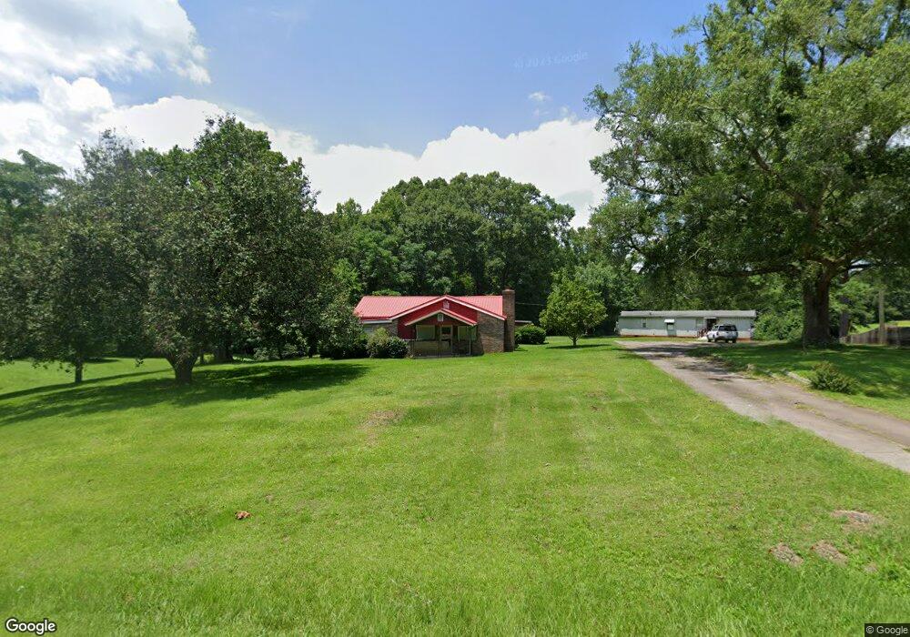
1774 Bartley Rd Lagrange, GA 30240
Estimated Value: $186,000 - $241,000
4
Beds
2
Baths
1,848
Sq Ft
$120/Sq Ft
Est. Value
About This Home
This home is located at 1774 Bartley Rd, Lagrange, GA 30240 and is currently estimated at $221,110, approximately $119 per square foot. 1774 Bartley Rd is a home located in Troup County with nearby schools including Whitesville Road Elementary School, Rosemont Elementary School, and Berta Weathersbee Elementary School.
Ownership History
Date
Name
Owned For
Owner Type
Purchase Details
Closed on
Nov 30, 2014
Sold by
Austin Barney
Bought by
Arnold James M
Current Estimated Value
Purchase Details
Closed on
Mar 16, 1976
Sold by
Bishop A L
Bought by
Harold R Ellington
Purchase Details
Closed on
Jan 1, 1969
Sold by
William Lester and Doris Harper
Bought by
Bishop A L
Purchase Details
Closed on
Jan 1, 1963
Sold by
Exer L Dykes
Bought by
William Lester and Doris Harper
Create a Home Valuation Report for This Property
The Home Valuation Report is an in-depth analysis detailing your home's value as well as a comparison with similar homes in the area
Purchase History
| Date | Buyer | Sale Price | Title Company |
|---|---|---|---|
| Arnold James M | -- | -- | |
| Harold R Ellington | $25,000 | -- | |
| Bishop A L | $4,000 | -- | |
| William Lester | -- | -- |
Source: Public Records
Tax History
| Year | Tax Paid | Tax Assessment Tax Assessment Total Assessment is a certain percentage of the fair market value that is determined by local assessors to be the total taxable value of land and additions on the property. | Land | Improvement |
|---|---|---|---|---|
| 2025 | $1,608 | $62,136 | $12,000 | $50,136 |
| 2024 | $1,549 | $58,772 | $12,000 | $46,772 |
| 2023 | $1,592 | $60,376 | $12,000 | $48,376 |
| 2022 | $1,555 | $58,736 | $12,000 | $46,736 |
| 2021 | $1,085 | $37,948 | $9,760 | $28,188 |
| 2020 | $1,085 | $37,948 | $9,760 | $28,188 |
| 2019 | $1,083 | $37,904 | $9,760 | $28,144 |
| 2018 | $1,030 | $34,168 | $9,760 | $24,408 |
| 2017 | $1,029 | $34,108 | $9,760 | $24,348 |
| 2016 | $1,023 | $33,916 | $9,780 | $24,136 |
| 2015 | $1,025 | $33,916 | $9,780 | $24,136 |
| 2014 | $995 | $32,882 | $9,780 | $23,102 |
Source: Public Records
Map
Nearby Homes
- 1605 Bartley Rd
- 3913 Whitesville Rd
- 0 Whitesville Rd Unit 10496838
- 11.59+/- AC Hunt Rd
- 620 Old Hutchinson Mill Rd
- 215 Harris Walk
- 211 Harris Walk
- 223 Harris Walk
- 209 Harris Walk
- 225 Harris Walk
- 221 Harris Walk
- 0 Cannonville Rd
- 2851 & 2891 Hamilton Rd
- 1820 Salem Rd
- 145 Jarrell Hogg Rd
- 130 Hamilton Lake Dr
- 101 Garden Walk
- 101 Garden Walk Unit 85
- 0 Salem Lot 3 Rd Unit LOT 3
- 0 Salem Lot 1 Rd Unit LOT 1
- 1756 Bartley Rd
- 1802 Bartley Rd
- 1769 Bartley Rd
- 1744 Bartley Rd
- 1819 Bartley Rd
- 1779 Bartley Rd
- 1747 Bartley Rd
- 1714 Bartley Rd
- 1858 Bartley Rd
- 1688 Bartley Rd
- 1892 Bartley Rd
- 1887 Bartley Rd
- 1897 Bartley Rd
- 1672 Bartley Rd
- 108 Bartleys Walk
- 104 Bartleys Walk
- 112 Bartleys Walk
- 100 Bartleys Walk
- 116 Bartleys Walk
- 120 Bartleys Walk
Your Personal Tour Guide
Ask me questions while you tour the home.