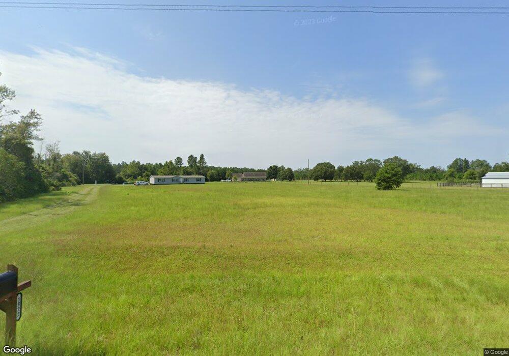
1774 High Bluff Rd Hoboken, GA 31542
Estimated Value: $301,000 - $371,345
--
Bed
--
Bath
2,003
Sq Ft
$164/Sq Ft
Est. Value
About This Home
This home is located at 1774 High Bluff Rd, Hoboken, GA 31542 and is currently estimated at $328,782, approximately $164 per square foot. 1774 High Bluff Rd is a home with nearby schools including Hoboken Elementary School, Brantley County Middle School, and Brantley County High School.
Ownership History
Date
Name
Owned For
Owner Type
Purchase Details
Closed on
May 13, 2014
Sold by
Lee David T
Bought by
Gowan Summer S
Current Estimated Value
Purchase Details
Closed on
Jan 18, 2006
Sold by
Lee David I
Bought by
Griffis Keith D
Purchase Details
Closed on
Jul 8, 2005
Sold by
Mitchell Leisa Griffin
Bought by
Lee David T
Home Financials for this Owner
Home Financials are based on the most recent Mortgage that was taken out on this home.
Original Mortgage
$99,221
Interest Rate
5.46%
Mortgage Type
New Conventional
Create a Home Valuation Report for This Property
The Home Valuation Report is an in-depth analysis detailing your home's value as well as a comparison with similar homes in the area
Home Values in the Area
Average Home Value in this Area
Purchase History
| Date | Buyer | Sale Price | Title Company |
|---|---|---|---|
| Gowan Summer S | $65,000 | -- | |
| Griffis Keith D | $57,000 | -- | |
| Lee David T | $98,160 | -- |
Source: Public Records
Mortgage History
| Date | Status | Borrower | Loan Amount |
|---|---|---|---|
| Previous Owner | Lee David T | $99,221 |
Source: Public Records
Tax History Compared to Growth
Tax History
| Year | Tax Paid | Tax Assessment Tax Assessment Total Assessment is a certain percentage of the fair market value that is determined by local assessors to be the total taxable value of land and additions on the property. | Land | Improvement |
|---|---|---|---|---|
| 2024 | $2,341 | $110,067 | $12,437 | $97,630 |
| 2023 | $322 | $108,936 | $11,306 | $97,630 |
| 2022 | $2,335 | $107,936 | $11,306 | $96,630 |
| 2021 | $2,224 | $71,691 | $11,306 | $60,385 |
| 2020 | $2,288 | $71,691 | $11,306 | $60,385 |
| 2019 | $2,283 | $71,691 | $11,306 | $60,385 |
| 2018 | $2,579 | $76,183 | $15,798 | $60,385 |
| 2017 | $2,579 | $76,183 | $15,798 | $60,385 |
| 2016 | $2,305 | $73,717 | $13,332 | $60,385 |
| 2015 | -- | $13,332 | $13,332 | $0 |
Source: Public Records
Map
Nearby Homes
- 950 Apple Dr
- 12169 Central Ave
- 12091 Central Ave
- 5588 Brunswick Hwy
- 4947 High Bluff Rock Rd
- 57 Lynn Holly Ln
- 157 Hwy
- 26 Lynn Holly Ln
- 220 Chickasaw Rd
- 25 Jefferson St
- 20 Marla St
- 563 Bennett Rd
- 203 Johnny B St
- 56 Fj Melton Ln
- 300 Josephine Park Rd
- 8.84 Strickland Rd
- 0 Miles Still Rd
- 7532 Central Ave
- 115 Travis Trail
- 4807 Doe Rd
- 1898 Pierce Chapel Rd
- 1726 High Bluff Rd
- 1830 High Bluff Rd
- 1948 Pierce Chapel Rd
- 65 Griffin Douglas Rd
- 1835 Pierce Chapel Rd
- 2363 Pierce Chapel Rd
- 2056 High Bluff Rd
- 80 Eb Jones Ln
- 80 Eb Jones Ln
- 160 Ammons Loop
- 46 Eb Jones Ln
- 13 Silverlake Rd
- 19 Silverlake Rd
- 80 E Eb Jones Ln
- 942 Bluff Rd
- 1164 Bluff Rd
- 337 Griffin Douglas Rd
- 484 Bellefield Rd
- 203 Little Pond Ln