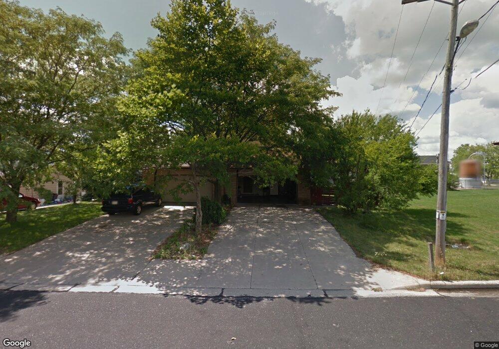
1774 Milldrum St Union Grove, WI 53182
Estimated Value: $342,000 - $441,000
3
Beds
2
Baths
--
Sq Ft
8,799
Sq Ft Lot
About This Home
This home is located at 1774 Milldrum St, Union Grove, WI 53182 and is currently estimated at $384,969. 1774 Milldrum St is a home located in Racine County with nearby schools including Union Grove Elementary School, Union Grove High School, and Union Grove Christian School.
Ownership History
Date
Name
Owned For
Owner Type
Purchase Details
Closed on
Mar 9, 2017
Sold by
Teran Reynaldo
Bought by
Courtney Robert G
Current Estimated Value
Home Financials for this Owner
Home Financials are based on the most recent Mortgage that was taken out on this home.
Original Mortgage
$186,558
Outstanding Balance
$157,133
Interest Rate
4.75%
Mortgage Type
FHA
Estimated Equity
$227,836
Create a Home Valuation Report for This Property
The Home Valuation Report is an in-depth analysis detailing your home's value as well as a comparison with similar homes in the area
Home Values in the Area
Average Home Value in this Area
Purchase History
| Date | Buyer | Sale Price | Title Company |
|---|---|---|---|
| Courtney Robert G | $190,000 | Us Title And Closing Service |
Source: Public Records
Mortgage History
| Date | Status | Borrower | Loan Amount |
|---|---|---|---|
| Open | Courtney Robert G | $186,558 |
Source: Public Records
Tax History Compared to Growth
Tax History
| Year | Tax Paid | Tax Assessment Tax Assessment Total Assessment is a certain percentage of the fair market value that is determined by local assessors to be the total taxable value of land and additions on the property. | Land | Improvement |
|---|---|---|---|---|
| 2024 | $4,416 | $261,700 | $38,600 | $223,100 |
| 2023 | $4,619 | $261,700 | $38,600 | $223,100 |
| 2022 | $4,624 | $261,700 | $38,600 | $223,100 |
| 2021 | $4,354 | $261,700 | $38,600 | $223,100 |
| 2020 | $4,497 | $218,100 | $29,800 | $188,300 |
| 2019 | $4,658 | $218,100 | $29,800 | $188,300 |
| 2018 | $4,448 | $218,200 | $29,800 | $188,400 |
| 2017 | $4,201 | $197,200 | $32,200 | $165,000 |
| 2016 | $5,994 | $258,300 | $32,200 | $226,100 |
| 2015 | $5,872 | $258,300 | $32,200 | $226,100 |
| 2014 | $5,784 | $258,300 | $32,200 | $226,100 |
| 2013 | $6,028 | $258,300 | $32,200 | $226,100 |
Source: Public Records
Map
Nearby Homes
- 1778 Milldrum St
- 1772 Milldrum St
- 1760 Milldrum St
- 1777 New St
- 1773 New St
- 1776 Milldrum St
- 1784 Milldrum St
- 1783 New St
- 1783 New St Unit 1785
- 1779 New St
- 1773 Milldrum St
- 1791 New St
- 1748 Milldrum St
- 1777 Milldrum St
- 1790 Milldrum St
- 1755 New St
- 1780 New St
- 1787 Milldrum St
- 1742 Milldrum St
- 1797 New St