1774 Queensbury Cir Unit 5702 Hoffman Estates, IL 60169
South Hoffman Estates NeighborhoodEstimated Value: $173,000 - $249,000
2
Beds
1
Bath
1,000
Sq Ft
$215/Sq Ft
Est. Value
About This Home
This home is located at 1774 Queensbury Cir Unit 5702, Hoffman Estates, IL 60169 and is currently estimated at $215,019, approximately $215 per square foot. 1774 Queensbury Cir Unit 5702 is a home located in Cook County with nearby schools including John Muir Literacy Academy, Dwight D Eisenhower Junior High School, and Hoffman Estates High School.
Ownership History
Date
Name
Owned For
Owner Type
Purchase Details
Closed on
Oct 6, 2006
Sold by
Homyak Mark A
Bought by
Carthan Leslie and Carthan Lester
Current Estimated Value
Home Financials for this Owner
Home Financials are based on the most recent Mortgage that was taken out on this home.
Original Mortgage
$98,000
Outstanding Balance
$58,608
Interest Rate
6.5%
Mortgage Type
Unknown
Estimated Equity
$156,411
Purchase Details
Closed on
Aug 24, 2001
Sold by
Farr Joseph B and Farr Carolyn
Bought by
Homyak Mark A
Home Financials for this Owner
Home Financials are based on the most recent Mortgage that was taken out on this home.
Original Mortgage
$94,245
Interest Rate
7.03%
Mortgage Type
VA
Create a Home Valuation Report for This Property
The Home Valuation Report is an in-depth analysis detailing your home's value as well as a comparison with similar homes in the area
Home Values in the Area
Average Home Value in this Area
Purchase History
| Date | Buyer | Sale Price | Title Company |
|---|---|---|---|
| Carthan Leslie | $138,000 | Attorneys Title Guaranty Fun | |
| Homyak Mark A | $91,500 | -- |
Source: Public Records
Mortgage History
| Date | Status | Borrower | Loan Amount |
|---|---|---|---|
| Open | Carthan Leslie | $98,000 | |
| Previous Owner | Homyak Mark A | $94,245 |
Source: Public Records
Tax History Compared to Growth
Tax History
| Year | Tax Paid | Tax Assessment Tax Assessment Total Assessment is a certain percentage of the fair market value that is determined by local assessors to be the total taxable value of land and additions on the property. | Land | Improvement |
|---|---|---|---|---|
| 2024 | -- | $13,400 | $3,423 | $9,977 |
| 2023 | -- | $13,400 | $3,423 | $9,977 |
| 2022 | $0 | $13,400 | $3,423 | $9,977 |
| 2021 | $2,061 | $10,451 | $5,390 | $5,061 |
| 2020 | $2,061 | $10,451 | $5,390 | $5,061 |
| 2019 | $0 | $11,671 | $5,390 | $6,281 |
| 2018 | $0 | $6,917 | $4,706 | $2,211 |
| 2017 | $1,133 | $6,917 | $4,706 | $2,211 |
| 2016 | $2,061 | $6,917 | $4,706 | $2,211 |
| 2015 | $1,748 | $5,444 | $4,107 | $1,337 |
| 2014 | $1,718 | $5,444 | $4,107 | $1,337 |
| 2013 | $1,674 | $5,444 | $4,107 | $1,337 |
Source: Public Records
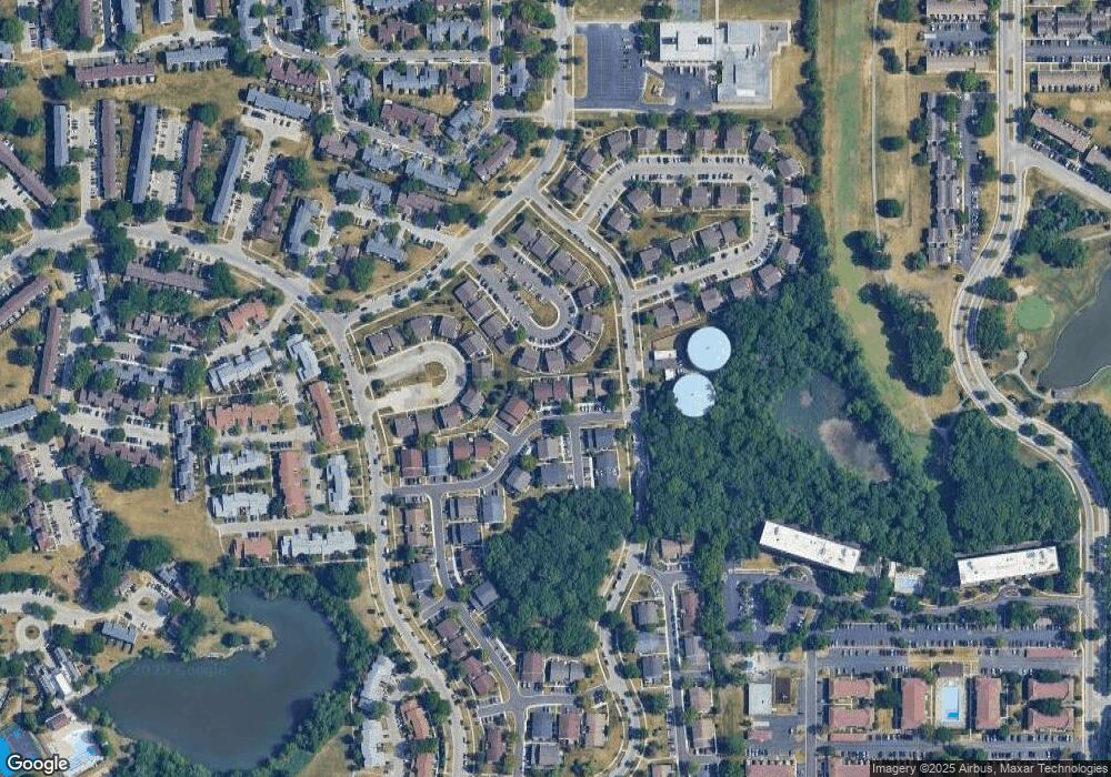
Map
Nearby Homes
- 1808 Fayette Walk Unit H
- 1763 Bristol Walk Unit 1763
- 1840 Huntington Blvd Unit 415
- 1840 Huntington Blvd Unit 412
- 1800 Huntington Blvd Unit AE615
- 1704 Fayette Walk Unit B
- 1475 Rebecca Dr Unit 217
- 1862 Stockton Dr Unit 3283
- 1685 Cornell Dr
- 1375 Rebecca Dr Unit 318
- 1886 Stockton Dr Unit 3253
- 1672 Cornell Dr
- 1854 Huntington Blvd Unit C
- 1925 Georgetown Ln Unit 4
- 1956 Georgetown Ln Unit 4
- 1738 Ardwick Dr
- 1940 Kenilworth Cir Unit D
- 1415 N Oakmont Rd
- 1977 Kenilworth Cir Unit D
- 2230 Stratham Place
- 1768 Queensbury Cir Unit 5703
- 1775 Queensbury Cir Unit 5781
- 1770 Queensbury Cir Unit 5704
- 1770 Queensbury Cir Unit 1770
- 1772 Queensbury Cir Unit 5701
- 1773 Queensbury Cir Unit 5794
- 1777 Queensbury Cir Unit 5782
- 1769 Queensbury Cir Unit 5792
- 1771 Queensbury Cir Unit 5793
- 1779 Queensbury Cir Unit 5783
- 1766 Queensbury Cir Unit 5814
- 1767 Queensbury Cir Unit 5791
- 1764 Queensbury Cir Unit 5813
- 1763 Queensbury Cir Unit 5803
- 1756 Queensbury Cir Unit 5823
- 1787 Queensbury Cir Unit 5773
- 1761 Queensbury Cir Unit 5802
- 1785 Queensbury Cir Unit 5772
- 1762 Queensbury Cir Unit 5812
- 1754 Queensbury Cir Unit 5822