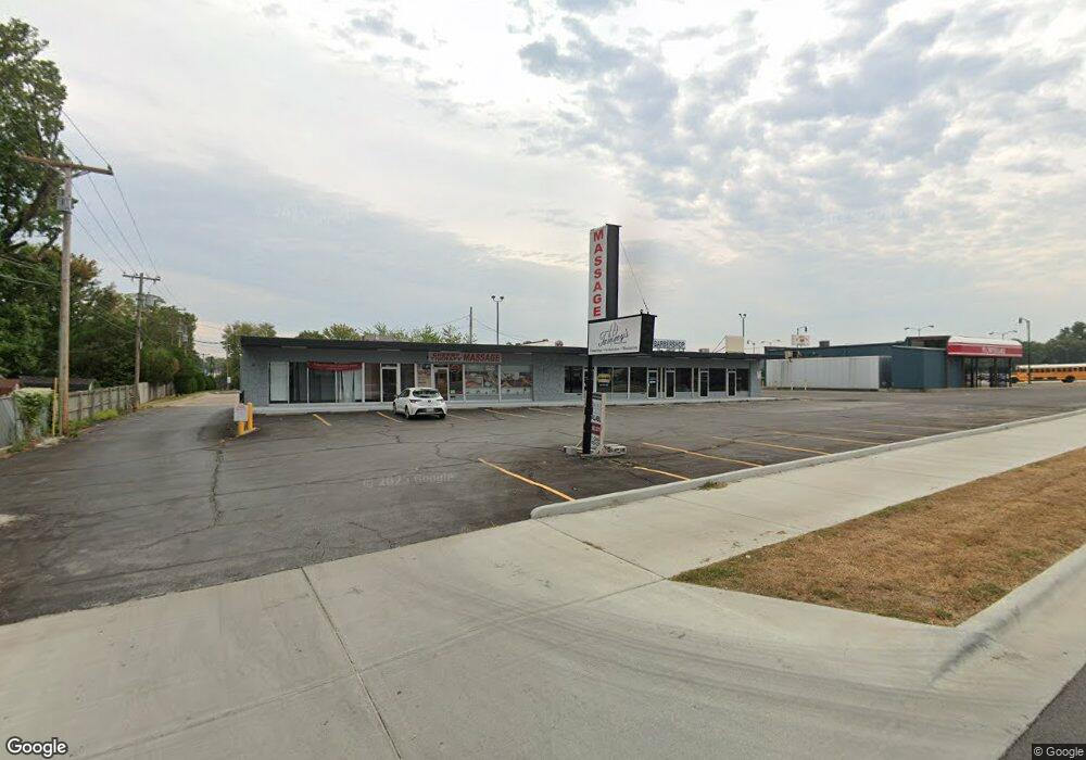
1774 S Grant Ave Unit A-B Springfield, MO 65807
Fassnight NeighborhoodEstimated Value: $678,600
Studio
2
Baths
2,460
Sq Ft
$276/Sq Ft
Est. Value
About This Home
This home is located at 1774 S Grant Ave Unit A-B, Springfield, MO 65807 and is currently estimated at $678,600, approximately $275 per square foot. 1774 S Grant Ave Unit A-B is a home located in Greene County with nearby schools including Sunshine Elementary School, Jarrett Middle, and Parkview High School.
Ownership History
Date
Name
Owned For
Owner Type
Purchase Details
Closed on
Jun 24, 2021
Sold by
Tlt Academy Llc
Bought by
Tlt Properties Llc
Current Estimated Value
Purchase Details
Closed on
Mar 9, 2006
Sold by
Evergreen Lsr Inc
Bought by
Pathway Properties Llc
Home Financials for this Owner
Home Financials are based on the most recent Mortgage that was taken out on this home.
Original Mortgage
$254,186
Interest Rate
6.09%
Mortgage Type
Commercial
Create a Home Valuation Report for This Property
The Home Valuation Report is an in-depth analysis detailing your home's value as well as a comparison with similar homes in the area
Home Values in the Area
Average Home Value in this Area
Purchase History
| Date | Buyer | Sale Price | Title Company |
|---|---|---|---|
| Tlt Properties Llc | -- | None Available | |
| Pathway Properties Llc | -- | None Available |
Source: Public Records
Mortgage History
| Date | Status | Borrower | Loan Amount |
|---|---|---|---|
| Previous Owner | Pathway Properties Llc | $254,186 |
Source: Public Records
Tax History
| Year | Tax Paid | Tax Assessment Tax Assessment Total Assessment is a certain percentage of the fair market value that is determined by local assessors to be the total taxable value of land and additions on the property. | Land | Improvement |
|---|---|---|---|---|
| 2025 | $11,936 | $198,210 | $86,660 | $111,550 |
| 2024 | $10,863 | $169,600 | $61,180 | $108,420 |
| 2023 | $10,811 | $169,600 | $61,180 | $108,420 |
| 2022 | $9,518 | $146,400 | $61,180 | $85,220 |
| 2021 | $9,517 | $146,400 | $61,180 | $85,220 |
| 2020 | $8,946 | $132,510 | $61,180 | $71,330 |
| 2019 | $8,732 | $132,510 | $61,180 | $71,330 |
| 2018 | $7,761 | $117,820 | $61,180 | $56,640 |
| 2017 | $7,695 | $116,320 | $61,180 | $55,140 |
| 2016 | $7,585 | $116,320 | $61,180 | $55,140 |
| 2015 | $7,527 | $116,320 | $61,180 | $55,140 |
| 2014 | $7,385 | $113,440 | $61,180 | $52,260 |
Source: Public Records
Map
Nearby Homes
- 1912 S Lancaster Ave
- 526 W Portland St
- 611 W Portland St
- 901 W Portland St
- 701 W Minota St
- 810 W Minota St
- 1948 S Weaver Ave
- 1010 W Cherokee St
- 1101 W Portland St
- 743 W Whiteside St
- 306 W McGee St
- 853 W Whiteside St
- 1947 S Fort Ave
- 308 E Lindberg St
- 1846 S Nettleton Ave
- 1460 S Jefferson Ave
- 510 E Portland St
- 1727 S Kimbrough Ave
- 2012 S Roanoke Ave
- 432 W Tracy St
- 1774 S Grant Ave Unit Efg
- 1774 S Grant Ave Unit B
- 1774 S Grant Ave Unit A
- 644 W University St
- 652 W University St
- 638 W University St
- 632 W University St
- 702 W University St
- 1771 S Grant Ave
- 628 W University St
- 712 W University St
- 645 W University St
- 621 W Sunshine St
- 1741 S Sagamont Ave
- 624 W University St
- 1741 S Grant Ave
- 1732 S Grant Ave
- 614 W University St
- 1729 S Sagamont Ave
- 1729 S Grant Ave
Your Personal Tour Guide
Ask me questions while you tour the home.