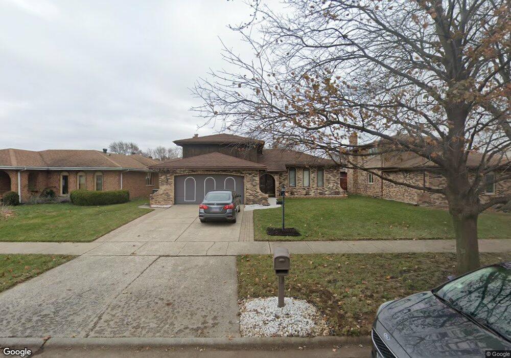
17747 Maple St Lansing, IL 60438
Estimated Value: $281,724 - $376,000
--
Bed
2
Baths
2,232
Sq Ft
$141/Sq Ft
Est. Value
About This Home
This home is located at 17747 Maple St, Lansing, IL 60438 and is currently estimated at $314,931, approximately $141 per square foot. 17747 Maple St is a home located in Cook County with nearby schools including Coolidge Elementary School, Memorial Jr High School, and Thornton Fractnl So High School.
Ownership History
Date
Name
Owned For
Owner Type
Purchase Details
Closed on
Jul 20, 2005
Sold by
Mardos John A and Mardos Patricia
Bought by
Grice Stanley D
Current Estimated Value
Home Financials for this Owner
Home Financials are based on the most recent Mortgage that was taken out on this home.
Original Mortgage
$176,000
Outstanding Balance
$99,994
Interest Rate
7.37%
Mortgage Type
Unknown
Estimated Equity
$214,937
Create a Home Valuation Report for This Property
The Home Valuation Report is an in-depth analysis detailing your home's value as well as a comparison with similar homes in the area
Home Values in the Area
Average Home Value in this Area
Purchase History
| Date | Buyer | Sale Price | Title Company |
|---|---|---|---|
| Grice Stanley D | $220,000 | Ticor Title Insurance Compan |
Source: Public Records
Mortgage History
| Date | Status | Borrower | Loan Amount |
|---|---|---|---|
| Open | Grice Stanley D | $176,000 |
Source: Public Records
Tax History
| Year | Tax Paid | Tax Assessment Tax Assessment Total Assessment is a certain percentage of the fair market value that is determined by local assessors to be the total taxable value of land and additions on the property. | Land | Improvement |
|---|---|---|---|---|
| 2025 | $11,641 | $27,374 | $4,228 | $23,146 |
| 2024 | $11,641 | $27,374 | $4,228 | $23,146 |
| 2023 | $8,545 | $27,374 | $4,228 | $23,146 |
| 2022 | $8,545 | $16,570 | $3,652 | $12,918 |
| 2021 | $8,369 | $16,569 | $3,651 | $12,918 |
| 2020 | $7,901 | $16,569 | $3,651 | $12,918 |
| 2019 | $7,600 | $16,779 | $3,075 | $13,704 |
| 2018 | $7,456 | $16,779 | $3,075 | $13,704 |
| 2017 | $7,563 | $16,779 | $3,075 | $13,704 |
| 2016 | $7,185 | $15,637 | $2,883 | $12,754 |
| 2015 | $6,612 | $15,637 | $2,883 | $12,754 |
| 2014 | $6,548 | $15,637 | $2,883 | $12,754 |
| 2013 | $7,038 | $18,260 | $2,883 | $15,377 |
Source: Public Records
Map
Nearby Homes
- 3645 177th Place
- 108 Beverly Place
- 17945 Maple St
- 3617 Monroe St
- 17702 Bernadine St
- 3520 Jackson St
- 7937 Forest Ave
- 3659 Madison St
- 17913 William St
- 222 Beacon Place
- 8039 Forest Ave
- 3522 Washington St
- 17831 Community St
- 222 Broadmoor Ave
- 17821 Roy St
- 7944 Harrison Ave
- 17614 Community St
- 18158 Lange St
- 8126 Highland Place
- 8147 Hohman Ave
- 17741 Maple St
- 17753 Maple St
- 17748 State Line Ave
- 17742 State Line Ave
- 17754 State Line Ave
- 17754 State Line Ave
- 17756 Maple St
- 17760 State Line Ave
- 3671 177th Place
- 3662 178th St
- 17801 Maple St
- 3669 177th Place
- 3658 178th St
- 3658 178th St
- 3665 177th Place
- 17807 Maple St
- 3654 178th St
- 3654 178th St
- 17808 State Line Ave
- 3661 177th Place
Your Personal Tour Guide
Ask me questions while you tour the home.