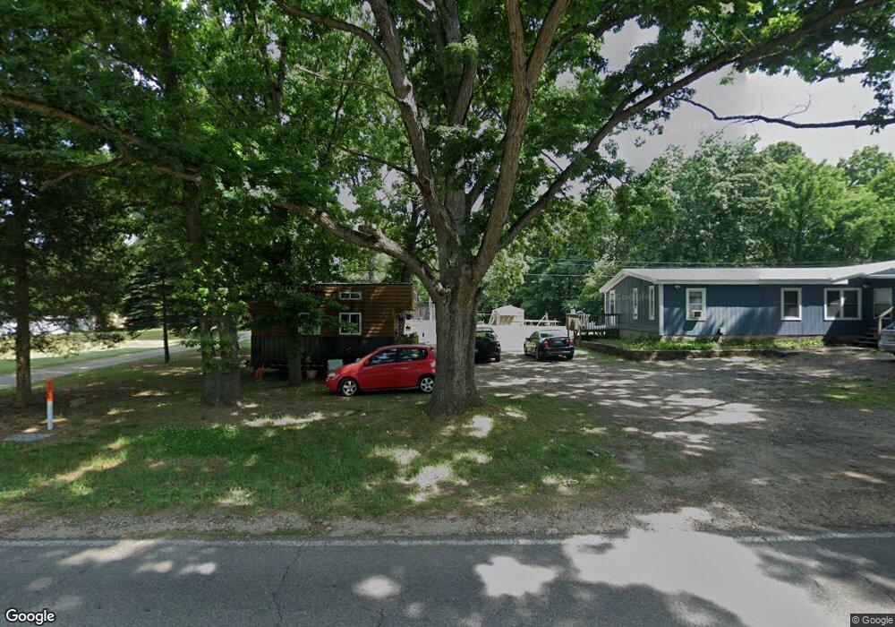
1775 104th Ave Otsego, MI 49078
Estimated Value: $313,000
2
Beds
1
Bath
756
Sq Ft
$414/Sq Ft
Est. Value
About This Home
This home is located at 1775 104th Ave, Otsego, MI 49078 and is currently priced at $313,000, approximately $414 per square foot. 1775 104th Ave is a home located in Allegan County with nearby schools including Otsego High School, St. Margaret School, and Otsego Christian Academy.
Ownership History
Date
Name
Owned For
Owner Type
Purchase Details
Closed on
Aug 8, 2023
Sold by
Shattuck Ricky D
Bought by
Anderson James and Anderson Zena
Current Estimated Value
Purchase Details
Closed on
Oct 15, 1998
Sold by
Sheridan Curtis
Bought by
Shattuck Ricky D
Purchase Details
Closed on
Feb 1, 1994
Sold by
Lynda Todd
Bought by
Vandebunte Howard and Vandebunte Alida
Purchase Details
Closed on
Dec 1, 1993
Sold by
Veldt Harm and Grace Anna
Bought by
Todd Keith and Todd Lynda
Purchase Details
Closed on
Dec 1, 1989
Bought by
Keith and Keith Lynda"
Purchase Details
Closed on
Jul 1, 1982
Sold by
Veldt Harm and Grace Anna
Bought by
"Todd
Create a Home Valuation Report for This Property
The Home Valuation Report is an in-depth analysis detailing your home's value as well as a comparison with similar homes in the area
Home Values in the Area
Average Home Value in this Area
Purchase History
| Date | Buyer | Sale Price | Title Company |
|---|---|---|---|
| Anderson James | -- | None Listed On Document | |
| Shattuck Ricky D | $35,000 | -- | |
| Vandebunte Howard | -- | -- | |
| Todd Keith | $23,900 | -- | |
| Keith | -- | -- | |
| "Todd | $23,900 | -- |
Source: Public Records
Tax History Compared to Growth
Tax History
| Year | Tax Paid | Tax Assessment Tax Assessment Total Assessment is a certain percentage of the fair market value that is determined by local assessors to be the total taxable value of land and additions on the property. | Land | Improvement |
|---|---|---|---|---|
| 2023 | $1,012 | $53,300 | $18,000 | $35,300 |
| 2022 | $1,012 | $48,200 | $16,300 | $31,900 |
| 2021 | $950 | $46,100 | $15,500 | $30,600 |
| 2020 | $900 | $41,800 | $14,800 | $27,000 |
| 2019 | $895 | $38,100 | $12,300 | $25,800 |
| 2018 | $889 | $33,600 | $11,000 | $22,600 |
| 2017 | $0 | $34,800 | $12,900 | $21,900 |
| 2016 | $0 | $30,600 | $10,100 | $20,500 |
| 2015 | -- | $30,600 | $10,100 | $20,500 |
| 2014 | $827 | $26,700 | $8,800 | $17,900 |
| 2013 | $827 | $27,600 | $9,500 | $18,100 |
Source: Public Records
Map
Nearby Homes
- 602 Lincoln Rd
- 0 Lincoln Rd
- 0 Briarwood St Unit 25002251
- 624 Nicholson St
- 365 W Orleans St
- 346 W Orleans St
- 233 W Hammond St
- 552 19th St
- 301 Helen Ave
- 318 S Fair St
- 1651 Aspen Trail
- 589 Lincoln Rd
- 1643 Aspen Trail
- 1647 Aspen Trail
- 1635 Aspen Trail
- 1431 Michigan 89
- Elements 1870 Plan at Southpointe Trails
- Integrity 1605 Plan at Southpointe Trails
- Elements 2070 Plan at Southpointe Trails
- Integrity 2000 Plan at Southpointe Trails