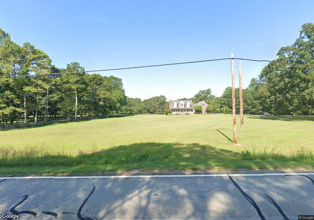
1775 Highway 59 Commerce, GA 30530
Estimated Value: $326,000
Studio
3
Baths
--
Sq Ft
980,100
Sq Ft Lot
About This Home
This home is located at 1775 Highway 59, Commerce, GA 30530 and is currently estimated at $326,000. 1775 Highway 59 is a home located in Banks County with nearby schools including Banks County Primary School, Banks County Elementary School, and Banks County Middle School.
Ownership History
Date
Name
Owned For
Owner Type
Purchase Details
Closed on
Apr 21, 2022
Sold by
Coldwater Homes Llc
Bought by
Madray Deborah Ann
Current Estimated Value
Purchase Details
Closed on
Dec 2, 2005
Sold by
White Leon
Bought by
Mcduffie Sam W
Home Financials for this Owner
Home Financials are based on the most recent Mortgage that was taken out on this home.
Original Mortgage
$289,030
Interest Rate
6.23%
Mortgage Type
New Conventional
Create a Home Valuation Report for This Property
The Home Valuation Report is an in-depth analysis detailing your home's value as well as a comparison with similar homes in the area
Home Values in the Area
Average Home Value in this Area
Purchase History
| Date | Buyer | Sale Price | Title Company |
|---|---|---|---|
| Madray Deborah Ann | $281,400 | -- | |
| Mcduffie Sam W | $429,030 | -- |
Source: Public Records
Mortgage History
| Date | Status | Borrower | Loan Amount |
|---|---|---|---|
| Previous Owner | Mcduffie Sam W | $289,030 |
Source: Public Records
Tax History
| Year | Tax Paid | Tax Assessment Tax Assessment Total Assessment is a certain percentage of the fair market value that is determined by local assessors to be the total taxable value of land and additions on the property. | Land | Improvement |
|---|---|---|---|---|
| 2025 | $163 | $39,395 | $39,395 | $0 |
| 2024 | $163 | $39,395 | $39,395 | $0 |
| 2023 | $163 | $39,395 | $39,395 | $0 |
| 2022 | $164 | $39,395 | $39,395 | $0 |
| 2021 | $170 | $39,395 | $39,395 | $0 |
| 2020 | $169 | $39,395 | $39,395 | $0 |
| 2019 | $170 | $39,395 | $39,395 | $0 |
| 2018 | $168 | $39,395 | $39,395 | $0 |
| 2017 | $170 | $28,818 | $28,818 | $0 |
| 2016 | $170 | $28,818 | $28,818 | $0 |
| 2015 | $150 | $28,818 | $28,818 | $0 |
| 2014 | $150 | $53,258 | $53,258 | $0 |
| 2013 | -- | $53,258 | $53,258 | $0 |
Source: Public Records
Map
Nearby Homes
- 119 Gordon Rd
- 2015 Highway 59
- 333 Sims Bridge Rd
- 130 Maple Dr
- 144 Chestnut Trail
- 0 Freedom Ln Unit 9B
- 0 Freedom Ln Unit 18C 10380663
- 0 Freedom Ln Unit 9D
- 0 Freedom Ln Unit 9C
- 0 Freedom Ln Unit 18B 10379747
- 0 Freedom Ln Unit 9E
- 166 Freedom Ln
- 112 White Oak Trail
- 150 Buckeye Trails Dr
- 150 Harden Bridge Rd
- 224 Hebron Rd
- 153 Buckeye Trails Dr
- 1183 Wilson Bridge Rd
- 0 McDonald Cir Unit 7694829
- 0 Eisenhower Dr
- 1748 Highway 59
- 1857 Georgia 59
- 1702 Highway 59
- 130 Gordon Rd
- 1627 Highway 59
- 236 Gordon Rd
- 1971 Georgia 59
- 184 Gordon Rd
- 1587 Highway 59 Unit 2.5AC
- 1587 Highway 59
- 1587 Georgia 59 Unit 2.5AC
- 1587 Georgia 59
- 335 Gordon Rd
- 1979 Highway 59
- 122 Gordon Rd
- 311 Gordon Rd
- 1680 Highway 164
- 1680 Ga Hwy 164
- 1676 Highway 164
- 267 Gordon Rd
Your Personal Tour Guide
Ask me questions while you tour the home.