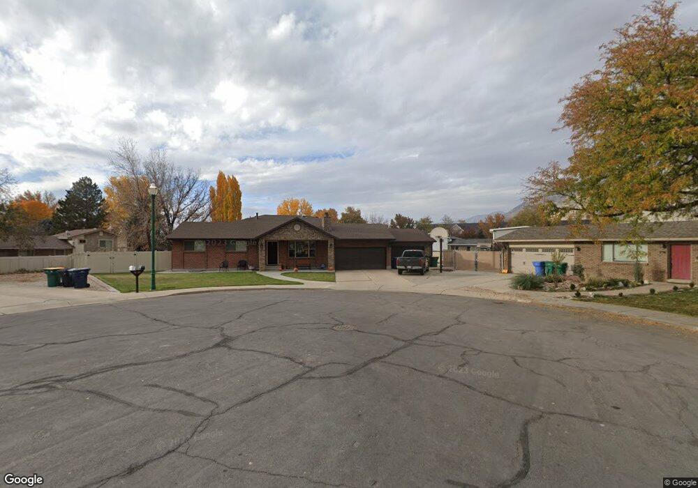
1775 N 645 W Orem, UT 84057
Aspen NeighborhoodEstimated Value: $674,000 - $791,000
5
Beds
4
Baths
2,464
Sq Ft
$295/Sq Ft
Est. Value
About This Home
This home is located at 1775 N 645 W, Orem, UT 84057 and is currently estimated at $727,243, approximately $295 per square foot. 1775 N 645 W is a home located in Utah County with nearby schools including Aspen Elementary School, Oak Canyon Junior High School, and Timpanogos High School.
Ownership History
Date
Name
Owned For
Owner Type
Purchase Details
Closed on
Jul 14, 2017
Sold by
Thomas Jeffrey Eart
Bought by
Lauritzen Elden L and Lauritzen Rachelle Ann
Current Estimated Value
Home Financials for this Owner
Home Financials are based on the most recent Mortgage that was taken out on this home.
Original Mortgage
$248,000
Outstanding Balance
$206,329
Interest Rate
3.94%
Mortgage Type
New Conventional
Estimated Equity
$520,914
Purchase Details
Closed on
Oct 11, 2016
Sold by
Thomas Sharolyn K and Thomas Jeffey E
Bought by
Thomas Sharolyn K and Thomas Jeffrye E
Create a Home Valuation Report for This Property
The Home Valuation Report is an in-depth analysis detailing your home's value as well as a comparison with similar homes in the area
Home Values in the Area
Average Home Value in this Area
Purchase History
| Date | Buyer | Sale Price | Title Company |
|---|---|---|---|
| Lauritzen Elden L | -- | United West Title | |
| Thomas Sharolyn K | -- | None Available |
Source: Public Records
Mortgage History
| Date | Status | Borrower | Loan Amount |
|---|---|---|---|
| Open | Lauritzen Elden L | $248,000 |
Source: Public Records
Tax History Compared to Growth
Tax History
| Year | Tax Paid | Tax Assessment Tax Assessment Total Assessment is a certain percentage of the fair market value that is determined by local assessors to be the total taxable value of land and additions on the property. | Land | Improvement |
|---|---|---|---|---|
| 2025 | $2,066 | $370,810 | $227,700 | $446,500 |
| 2024 | $2,066 | $252,670 | $0 | $0 |
| 2023 | $1,905 | $250,360 | $0 | $0 |
| 2022 | $2,051 | $261,195 | $0 | $0 |
| 2021 | $1,909 | $368,200 | $177,900 | $190,300 |
| 2020 | $1,735 | $328,900 | $142,300 | $186,600 |
| 2019 | $1,637 | $322,700 | $142,300 | $180,400 |
| 2018 | $1,606 | $302,400 | $130,100 | $172,300 |
| 2017 | $1,544 | $155,705 | $0 | $0 |
| 2016 | $1,612 | $149,985 | $0 | $0 |
| 2015 | $1,506 | $132,495 | $0 | $0 |
| 2014 | $1,472 | $128,920 | $0 | $0 |
Source: Public Records
Map
Nearby Homes
- 856 W 1840 N
- 1561 N 740 W
- 613 W 1550 N
- 1545 N State St Unit 11
- 1482 N 550 St W Unit 18
- 1991 N 920 W
- 697 W 1400 N
- 1415 N 550 West St
- 597 W 1400 N
- 1455 N Amiron Way Unit A
- 1527 N 275 St W Unit 4
- 1543 N 275 St W Unit 2
- 1531 N 275 St W Unit 3
- 1570 N 275 St W
- 1557 N 275 St W Unit 1
- 1542 N 275 St W Unit 5
- 1556 N 275 St W Unit 5
- 1438 N Amiron Way Unit B
- 582 W 1300 N
- 332 W Amiron Way Unit D