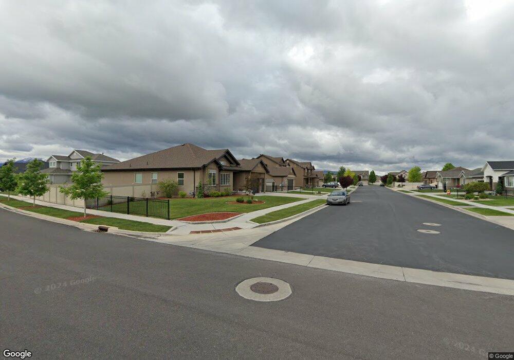
1776 E 70 N Spanish Fork, UT 84660
Estimated Value: $687,000 - $760,667
5
Beds
4
Baths
2,585
Sq Ft
$282/Sq Ft
Est. Value
About This Home
This home is located at 1776 E 70 N, Spanish Fork, UT 84660 and is currently estimated at $728,556, approximately $281 per square foot. 1776 E 70 N is a home with nearby schools including Sierra Bonita Elementary School, Mapleton Junior High School, and Maple Mountain High School.
Ownership History
Date
Name
Owned For
Owner Type
Purchase Details
Closed on
Sep 27, 2013
Sold by
Salisbury Developers Inc
Bought by
Shaw Corey and Shaw Aubrie
Current Estimated Value
Home Financials for this Owner
Home Financials are based on the most recent Mortgage that was taken out on this home.
Original Mortgage
$281,349
Outstanding Balance
$211,083
Interest Rate
4.46%
Mortgage Type
New Conventional
Estimated Equity
$517,473
Purchase Details
Closed on
Jun 10, 2013
Sold by
Central Bank
Bought by
Salisbury Developers Inc
Home Financials for this Owner
Home Financials are based on the most recent Mortgage that was taken out on this home.
Original Mortgage
$215,900
Interest Rate
3.37%
Mortgage Type
Construction
Create a Home Valuation Report for This Property
The Home Valuation Report is an in-depth analysis detailing your home's value as well as a comparison with similar homes in the area
Home Values in the Area
Average Home Value in this Area
Purchase History
| Date | Buyer | Sale Price | Title Company |
|---|---|---|---|
| Shaw Corey | -- | Provo Land Title Co | |
| Salisbury Developers Inc | -- | Provo Land Title Co |
Source: Public Records
Mortgage History
| Date | Status | Borrower | Loan Amount |
|---|---|---|---|
| Open | Shaw Corey | $281,349 | |
| Previous Owner | Salisbury Developers Inc | $215,900 |
Source: Public Records
Tax History
| Year | Tax Paid | Tax Assessment Tax Assessment Total Assessment is a certain percentage of the fair market value that is determined by local assessors to be the total taxable value of land and additions on the property. | Land | Improvement |
|---|---|---|---|---|
| 2025 | $3,543 | $390,335 | -- | -- |
| 2024 | $3,543 | $365,200 | $0 | $0 |
| 2023 | $3,280 | $338,415 | $0 | $0 |
| 2022 | $3,464 | $350,570 | $0 | $0 |
| 2021 | $3,012 | $487,700 | $139,700 | $348,000 |
| 2020 | $2,799 | $440,500 | $127,000 | $313,500 |
| 2019 | $2,593 | $429,400 | $119,000 | $310,400 |
| 2018 | $2,368 | $379,100 | $108,800 | $270,300 |
| 2017 | $2,400 | $206,525 | $0 | $0 |
| 2016 | $2,339 | $198,550 | $0 | $0 |
| 2015 | $2,146 | $180,070 | $0 | $0 |
| 2014 | $2,058 | $182,545 | $0 | $0 |
Source: Public Records
Map
Nearby Homes
- 53 S 2000 E
- 1563 E Mountain View Dr
- 2117 E 130 N Unit 59
- 2137 E 200 N Unit MSF53
- 2138 E 200 N Unit MSF54
- 2163 E 200 N Unit MSF52
- 1455 E 100 S
- 2131 E 130 N Unit 58
- 1884 E 280 S
- 1005 E 260 N Unit 20
- 1658 Dover Dr
- 1495 E 400 N
- 2672 E 360 N Unit MRVL09
- 51 N Spanish Fork Pkwy
- 1238 E 100 S
- 1025 E 360 N Unit 5
- 1022 E 360 N Unit 27
- 991 E 360 N Unit 8
- 309 N 2350 E Unit 1
- 377 N 2350 E Unit 4
- 1792 E 70 N Unit 210D
- 1756 E 70 N
- 29 N 1800 E Unit 209C
- 1738 E 70 N Unit 213D
- 1738 E 70 N
- 1777 E 70 N
- 1777 E 70 N Unit 216D
- 13 N 1800 E
- 1759 E 70 N Unit MM215D
- 1797 E 70 N Unit 217D
- 52 N 1700 E Unit 126
- 1737 E 70 N Unit 214D
- 26 N 1700 E
- 1763 E 20 S Unit 206C
- 1799 E 20 S Unit MM207C
- 1751 E 20 S Unit 205C
- 12 N 1700 E Unit 128
- 12 N 1700 E
- 1778 E 130 N
- 96 N 1700 E
Your Personal Tour Guide
Ask me questions while you tour the home.