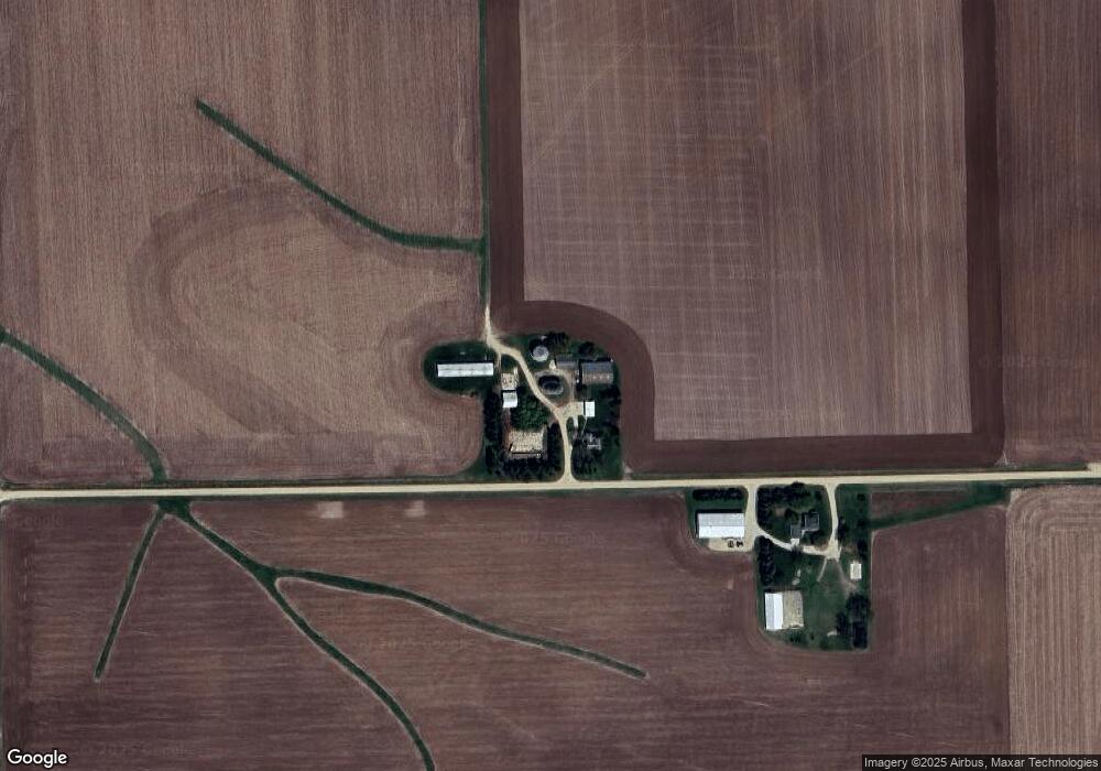
17768 W Coffman Rd Shannon, IL 61078
Estimated Value: $244,300 - $360,000
--
Bed
--
Bath
1,952
Sq Ft
$151/Sq Ft
Est. Value
About This Home
This home is located at 17768 W Coffman Rd, Shannon, IL 61078 and is currently estimated at $294,825, approximately $151 per square foot. 17768 W Coffman Rd is a home located in Ogle County with nearby schools including Eastland Elementary School and Eastland Junior-Senior High School.
Ownership History
Date
Name
Owned For
Owner Type
Purchase Details
Closed on
Apr 10, 2014
Sold by
Rosenstiel Jon R and Rosenstiel Stephanie K
Bought by
Jon R Rosenstiel Trust
Current Estimated Value
Purchase Details
Closed on
Jun 26, 2008
Sold by
Runte Roger L
Bought by
Rosenstiel Jon R and Rosenstiel Stephanie K
Home Financials for this Owner
Home Financials are based on the most recent Mortgage that was taken out on this home.
Original Mortgage
$150,500
Outstanding Balance
$33,748
Interest Rate
6.05%
Mortgage Type
Purchase Money Mortgage
Estimated Equity
$261,077
Create a Home Valuation Report for This Property
The Home Valuation Report is an in-depth analysis detailing your home's value as well as a comparison with similar homes in the area
Home Values in the Area
Average Home Value in this Area
Purchase History
| Date | Buyer | Sale Price | Title Company |
|---|---|---|---|
| Jon R Rosenstiel Trust | -- | None Available | |
| Rosenstiel Jon R | $250,000 | Security First Tite Co |
Source: Public Records
Mortgage History
| Date | Status | Borrower | Loan Amount |
|---|---|---|---|
| Open | Rosenstiel Jon R | $150,500 |
Source: Public Records
Tax History Compared to Growth
Tax History
| Year | Tax Paid | Tax Assessment Tax Assessment Total Assessment is a certain percentage of the fair market value that is determined by local assessors to be the total taxable value of land and additions on the property. | Land | Improvement |
|---|---|---|---|---|
| 2024 | $4,717 | $74,502 | $8,803 | $65,699 |
| 2023 | $4,592 | $69,492 | $8,211 | $61,281 |
| 2022 | $4,315 | $63,585 | $7,513 | $56,072 |
| 2021 | $4,399 | $61,997 | $7,325 | $54,672 |
| 2020 | $4,273 | $60,900 | $7,195 | $53,705 |
| 2019 | $4,193 | $58,418 | $6,902 | $51,516 |
| 2018 | $4,098 | $56,298 | $6,902 | $49,396 |
| 2017 | $4,108 | $56,298 | $6,902 | $49,396 |
| 2016 | $4,012 | $54,962 | $6,738 | $48,224 |
| 2015 | $3,705 | $53,674 | $6,580 | $47,094 |
| 2014 | $3,881 | $53,674 | $6,580 | $47,094 |
| 2013 | $4,050 | $55,011 | $6,744 | $48,267 |
Source: Public Records
Map
Nearby Homes
- 10225 N Brookville Rd
- 218 S Linn St
- 209 S Chestnut St
- 101 E Division Rd
- 7783 W Butz Rd
- 304 Maple Ave
- 118 N Prairie Dr
- 601 Hewitt St
- 603 Hewitt St
- 603 E Hewitt St
- 609 & 611 Hewitt St
- 617 & 619 Hewitt St
- 605 & 607 Hewitt St
- 613 & 615 Hewitt St
- 405 S Locust Ave
- 702 Hewitt St
- 000 Mountain Ln
- 701 Hewitt St
- 703 Hewitt St