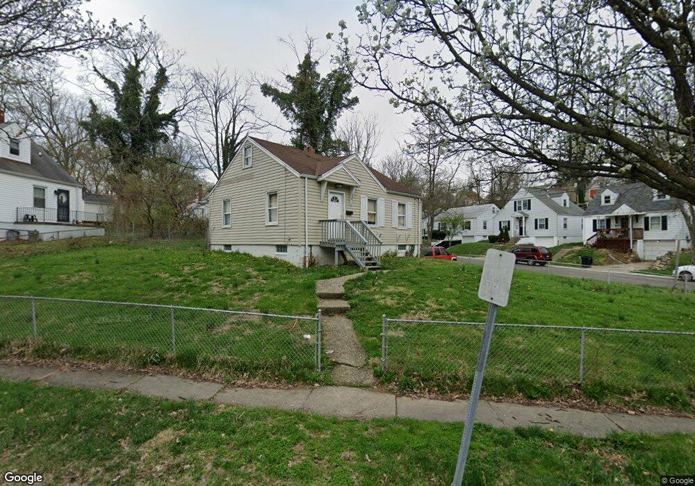
1777 Ashbrook Dr Cincinnati, OH 45238
West Price Hill NeighborhoodEstimated Value: $97,000 - $144,000
3
Beds
1
Bath
1,110
Sq Ft
$111/Sq Ft
Est. Value
About This Home
This home is located at 1777 Ashbrook Dr, Cincinnati, OH 45238 and is currently estimated at $122,667, approximately $110 per square foot. 1777 Ashbrook Dr is a home located in Hamilton County with nearby schools including Covedale School, Gilbert A. Dater High School, and Western Hills High School.
Ownership History
Date
Name
Owned For
Owner Type
Purchase Details
Closed on
Feb 8, 2008
Sold by
Red Scorpion Properties Llc
Bought by
Renaissance Men Properties Llc
Current Estimated Value
Home Financials for this Owner
Home Financials are based on the most recent Mortgage that was taken out on this home.
Original Mortgage
$186,400
Outstanding Balance
$34,090
Interest Rate
7.25%
Mortgage Type
Unknown
Estimated Equity
$88,577
Purchase Details
Closed on
Dec 29, 2005
Sold by
Francisco Michael E and Francisco Mike
Bought by
Red Scorpion Properties Llc
Purchase Details
Closed on
Mar 11, 1997
Sold by
Francisco Michael E
Bought by
Bepler Beverly J
Create a Home Valuation Report for This Property
The Home Valuation Report is an in-depth analysis detailing your home's value as well as a comparison with similar homes in the area
Home Values in the Area
Average Home Value in this Area
Purchase History
| Date | Buyer | Sale Price | Title Company |
|---|---|---|---|
| Renaissance Men Properties Llc | $171,600 | Attorney | |
| Red Scorpion Properties Llc | -- | None Available | |
| Bepler Beverly J | $9,000 | -- |
Source: Public Records
Mortgage History
| Date | Status | Borrower | Loan Amount |
|---|---|---|---|
| Open | Renaissance Men Properties Llc | $186,400 |
Source: Public Records
Tax History
| Year | Tax Paid | Tax Assessment Tax Assessment Total Assessment is a certain percentage of the fair market value that is determined by local assessors to be the total taxable value of land and additions on the property. | Land | Improvement |
|---|---|---|---|---|
| 2025 | $1,940 | $29,589 | $5,390 | $24,199 |
| 2023 | $1,940 | $29,589 | $5,390 | $24,199 |
| 2022 | $1,455 | $19,719 | $5,390 | $14,329 |
| 2021 | $1,410 | $19,719 | $5,390 | $14,329 |
| 2020 | $1,414 | $19,719 | $5,390 | $14,329 |
| 2019 | $1,412 | $17,927 | $4,900 | $13,027 |
| 2018 | $1,413 | $17,927 | $4,900 | $13,027 |
| 2017 | $1,359 | $17,927 | $4,900 | $13,027 |
| 2016 | $1,623 | $20,990 | $5,390 | $15,600 |
| 2015 | $1,454 | $20,990 | $5,390 | $15,600 |
| 2014 | $1,462 | $20,990 | $5,390 | $15,600 |
| 2013 | $1,682 | $23,853 | $6,125 | $17,728 |
Source: Public Records
Map
Nearby Homes
- 4730 Prosperity Place
- 1774 Ashbrook Dr
- 4734 Prosperity Place
- 1762 Ashbrook Dr
- 1782 Ashbrook Dr
- 4740 Green Glen Ln
- 1735 Ashbrook Dr
- 4778 Prosperity Place
- 1702 Ashbrook Dr
- 4849 Prosperity Place
- 4965 Glenway Ave
- 4915 Heuwerth Ave
- 4925 Shirley Place
- 5020 Sidney Rd
- 5004 Cleves Warsaw Pike
- 2640 Gehrum Ln
- 1059 Lockman Ave
- 5005 Western Hills Ave
- 1075 Coronado Ave
- 1226 Rutledge Ave
- 4715 Green Glen Ln
- 1773 Ashbrook Dr
- 1769 Ashbrook Dr
- 4708 Green Glen Ln
- 1778 Ashbrook Dr
- 4704 Green Glen Ln
- 4723 Green Glen Ln
- 1786 Ashbrook Dr
- 4700 Green Glen Ln
- 1763 Ashbrook Dr
- 1803 Ashbrook Dr
- 4716 Green Glen Ln
- 1770 Ashbrook Dr
- 1790 Ashbrook Dr
- 4720 Green Glen Ln
- 4727 Green Glen Ln
- 1766 Ashbrook Dr
- 1802 Ashbrook Dr
- 1811 Ashbrook Dr
- 4724 Green Glen Ln
Your Personal Tour Guide
Ask me questions while you tour the home.