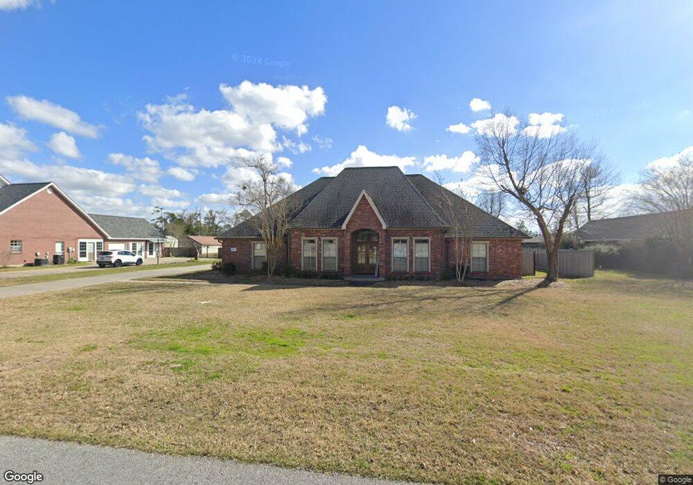
1777 Hollow Cove Ln Lake Charles, LA 70611
Moss Bluff NeighborhoodEstimated Value: $328,000 - $382,805
--
Bed
--
Bath
--
Sq Ft
2,744
Sq Ft Lot
About This Home
This home is located at 1777 Hollow Cove Ln, Lake Charles, LA 70611 and is currently estimated at $360,201. 1777 Hollow Cove Ln is a home located in Calcasieu Parish with nearby schools including Graham & Parks Alternative Public School, Moss Bluff Elementary School, and Putnam Avenue Upper School.
Ownership History
Date
Name
Owned For
Owner Type
Purchase Details
Closed on
Nov 7, 2014
Sold by
Linson Maynor Kelli and Maynor Leslie Max
Bought by
Fontenot Miller Brandon Lane and Fontenot Miller Morgan
Current Estimated Value
Home Financials for this Owner
Home Financials are based on the most recent Mortgage that was taken out on this home.
Original Mortgage
$251,750
Outstanding Balance
$193,840
Interest Rate
4.14%
Mortgage Type
Unknown
Estimated Equity
$166,361
Create a Home Valuation Report for This Property
The Home Valuation Report is an in-depth analysis detailing your home's value as well as a comparison with similar homes in the area
Home Values in the Area
Average Home Value in this Area
Purchase History
| Date | Buyer | Sale Price | Title Company |
|---|---|---|---|
| Fontenot Miller Brandon Lane | $265,000 | None Available |
Source: Public Records
Mortgage History
| Date | Status | Borrower | Loan Amount |
|---|---|---|---|
| Open | Fontenot Miller Brandon Lane | $251,750 |
Source: Public Records
Tax History Compared to Growth
Tax History
| Year | Tax Paid | Tax Assessment Tax Assessment Total Assessment is a certain percentage of the fair market value that is determined by local assessors to be the total taxable value of land and additions on the property. | Land | Improvement |
|---|---|---|---|---|
| 2024 | $1,965 | $25,100 | $4,180 | $20,920 |
| 2023 | $1,935 | $25,100 | $4,180 | $20,920 |
| 2022 | $1,903 | $25,100 | $4,180 | $20,920 |
| 2021 | $1,995 | $25,100 | $4,180 | $20,920 |
| 2020 | $2,543 | $22,840 | $4,010 | $18,830 |
| 2019 | $2,771 | $24,790 | $3,870 | $20,920 |
| 2018 | $1,936 | $24,790 | $3,870 | $20,920 |
| 2017 | $2,813 | $24,790 | $3,870 | $20,920 |
| 2016 | $2,774 | $24,790 | $3,870 | $20,920 |
| 2015 | $2,831 | $24,790 | $3,870 | $20,920 |
Source: Public Records
Map
Nearby Homes
- 1647 Hollow Cove
- 231 Merlot Dr
- 1929 S Borel Dr
- 1630 Hollow Cove Ln
- 568 Parkwood Dr
- 385 W Borel Dr
- 443 W Borel Dr
- 1731 Marlin Rd
- 1910 Reisling Dr
- 1492 Becky St
- 1563 Noelie St
- 362 W Park Manor Dr
- 284 W Park Manor Dr
- 141 W Park Manor Dr
- 751 N Perkins Ferry Rd
- 1706 Heard Rd
- 334 Coushatta Ln
- TBD Tan Tara Cir
- 0 Sam Houston Jones Pkwy Unit 145953
- 1032 Tan Tara Cir
- 1777 Hollow Cove
- 1761 Hollow Cove
- 1813 Hollow Cove Ln
- 1761 Hollow Cove Ln
- 1792 S Borel Dr
- 1778 S Borel Dr
- 1829 Hollow Cove
- 1806 S Borel Dr
- 1829 Hollow Cove Ln
- 1743 Hollow Cove Ln
- 1776 Hollow Cove Ln
- 1822 S Borel Dr
- 1814 Hollow Cove Ln
- 1760 Hollow Cove
- 0 Hollow Cove
- 1746 S Borel Dr
- 1744 Hollow Cove
- 1845 Hollow Cove Ln
- 1830 Hollow Cove
- 541 S Borel Dr