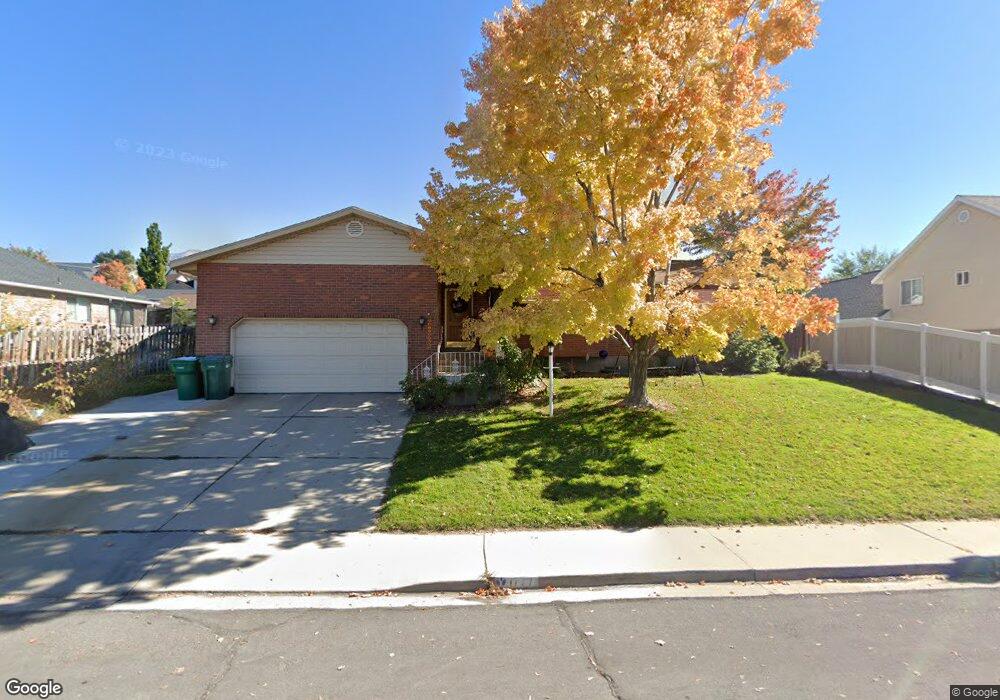
1777 S 400 W Orem, UT 84058
Lakeview NeighborhoodEstimated Value: $604,000 - $685,000
6
Beds
3
Baths
3,496
Sq Ft
$182/Sq Ft
Est. Value
About This Home
This home is located at 1777 S 400 W, Orem, UT 84058 and is currently estimated at $637,494, approximately $182 per square foot. 1777 S 400 W is a home located in Utah County with nearby schools including Westmore Elementary School, Lakeridge Jr High School, and Mountain View High School.
Ownership History
Date
Name
Owned For
Owner Type
Purchase Details
Closed on
Nov 19, 2025
Sold by
Shields Katie Beth Brown
Bought by
Shields Katie Beth Brown and Brown Lorraine A
Current Estimated Value
Purchase Details
Closed on
Oct 26, 2017
Sold by
Mccartney Carolyn
Bought by
Brown Shields Katie Beth and Brown James H
Home Financials for this Owner
Home Financials are based on the most recent Mortgage that was taken out on this home.
Original Mortgage
$340,955
Interest Rate
3.83%
Mortgage Type
New Conventional
Purchase Details
Closed on
May 30, 2008
Sold by
Topol Jonathan Vincent
Bought by
Mccartney Carolyn
Purchase Details
Closed on
Aug 21, 2001
Sold by
Topol John R and Topol Agnes J
Bought by
Topol John R and Topol Agnes J
Create a Home Valuation Report for This Property
The Home Valuation Report is an in-depth analysis detailing your home's value as well as a comparison with similar homes in the area
Home Values in the Area
Average Home Value in this Area
Purchase History
| Date | Buyer | Sale Price | Title Company |
|---|---|---|---|
| Shields Katie Beth Brown | -- | Bartlett Title | |
| Brown Shields Katie Beth | -- | Old Republic Title | |
| Mccartney Carolyn | -- | Equity Title Orem Blvd | |
| Topol John R | -- | -- |
Source: Public Records
Mortgage History
| Date | Status | Borrower | Loan Amount |
|---|---|---|---|
| Previous Owner | Brown Shields Katie Beth | $340,955 |
Source: Public Records
Tax History Compared to Growth
Tax History
| Year | Tax Paid | Tax Assessment Tax Assessment Total Assessment is a certain percentage of the fair market value that is determined by local assessors to be the total taxable value of land and additions on the property. | Land | Improvement |
|---|---|---|---|---|
| 2025 | $2,515 | $328,460 | -- | -- |
| 2024 | $2,515 | $307,505 | $0 | $0 |
| 2023 | $2,341 | $307,615 | $0 | $0 |
| 2022 | $2,257 | $287,375 | $0 | $0 |
| 2021 | $2,103 | $405,500 | $175,800 | $229,700 |
| 2020 | $1,930 | $365,800 | $140,600 | $225,200 |
| 2019 | $1,850 | $364,700 | $140,600 | $224,100 |
| 2018 | $1,806 | $340,100 | $123,400 | $216,700 |
| 2017 | $1,679 | $169,400 | $0 | $0 |
| 2016 | $1,652 | $153,670 | $0 | $0 |
| 2015 | $1,646 | $144,815 | $0 | $0 |
| 2014 | $1,619 | $141,790 | $0 | $0 |
Source: Public Records
Map
Nearby Homes
- 467 W 1640 S
- 302 W Hidden Hollow Dr
- 1675 S Lakewood Dr
- 1532 N 3200 W
- 1533 N 3150 W
- 1930 S 50 W
- 134 W Hidden Hollow Cir
- 1874 S Main St
- 108 W 2070 S
- The Mesa Plan at Lakeview Fields
- The Juniper Plan at Lakeview Fields
- The Newport Plan at Lakeview Fields
- The Hampton Plan at Lakeview Fields
- The Kensington Plan at Lakeview Fields
- 1442 S 135 W
- 1680 S 50 E
- 1679 N 2250 W
- 1682 N 2250 W
- 1588 N 3190 W
- 1871 S 1030 W
- 392 W 1800 S
- 383 W Carriage Cir
- 391 W Carriage Cir
- 378 W 1800 S
- 366 W 1800 S
- 375 W Carriage Cir
- 392 W Carriage Cir
- 387 W 1800 S
- 371 W 1800 S
- 367 W Carriage Cir
- 352 W 1800 S
- 421 W 1800 S
- 384 W Carriage Cir
- 1731 S 400 W
- 462 W 1800 S Unit 1
- 462 W 1800 S
- 355 W 1800 S
- 1776 S 320 W
- 376 W Carriage Cir
- 1762 S 320 W