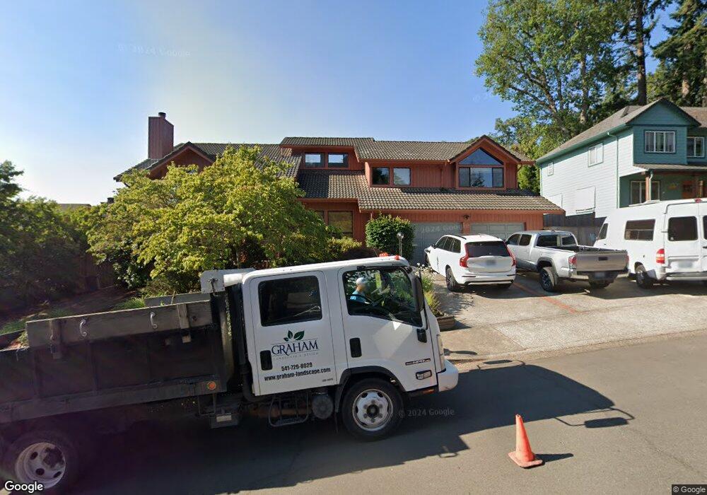
1777 White Oak Dr Eugene, OR 97405
Crest Drive NeighborhoodEstimated Value: $679,854 - $748,000
2
Beds
3
Baths
2,320
Sq Ft
$307/Sq Ft
Est. Value
About This Home
This home is located at 1777 White Oak Dr, Eugene, OR 97405 and is currently estimated at $713,214, approximately $307 per square foot. 1777 White Oak Dr is a home located in Lane County with nearby schools including Adams Elementary School, Arts And Technology Academy At Jefferson, and Churchill High School.
Ownership History
Date
Name
Owned For
Owner Type
Purchase Details
Closed on
Mar 19, 2020
Sold by
Sorensen Jorgen Skov and The Sorensen Family Trust
Bought by
Wright Allen Owen and Wright Deborah Marie
Current Estimated Value
Home Financials for this Owner
Home Financials are based on the most recent Mortgage that was taken out on this home.
Original Mortgage
$451,250
Outstanding Balance
$398,884
Interest Rate
3.4%
Mortgage Type
New Conventional
Estimated Equity
$314,330
Create a Home Valuation Report for This Property
The Home Valuation Report is an in-depth analysis detailing your home's value as well as a comparison with similar homes in the area
Home Values in the Area
Average Home Value in this Area
Purchase History
| Date | Buyer | Sale Price | Title Company |
|---|---|---|---|
| Wright Allen Owen | $475,000 | Evergreen Land Title Co |
Source: Public Records
Mortgage History
| Date | Status | Borrower | Loan Amount |
|---|---|---|---|
| Open | Wright Allen Owen | $451,250 |
Source: Public Records
Tax History
| Year | Tax Paid | Tax Assessment Tax Assessment Total Assessment is a certain percentage of the fair market value that is determined by local assessors to be the total taxable value of land and additions on the property. | Land | Improvement |
|---|---|---|---|---|
| 2025 | $8,844 | $453,922 | -- | -- |
| 2024 | $8,734 | $440,701 | -- | -- |
| 2023 | $8,734 | $427,866 | -- | -- |
| 2022 | $7,994 | $415,404 | $0 | $0 |
| 2021 | $7,148 | $403,305 | $0 | $0 |
| 2020 | $6,982 | $391,559 | $0 | $0 |
| 2019 | $6,737 | $380,155 | $0 | $0 |
| 2018 | $6,337 | $358,333 | $0 | $0 |
| 2017 | $6,432 | $358,333 | $0 | $0 |
| 2016 | $6,146 | $347,896 | $0 | $0 |
| 2015 | $6,004 | $337,763 | $0 | $0 |
| 2014 | $5,880 | $327,925 | $0 | $0 |
Source: Public Records
Map
Nearby Homes
- 0 Mclean Blvd Unit 24671448
- 0 Mclean Blvd Unit 697374759
- 1783 Graham Dr
- 2030 W 34th Ave
- 3023 Ashley Loop
- 2850 Garfield St
- 1955 W 28th Ave
- 3093 Soloman Loop
- 2673 Garfield St
- 3160 Whitten Dr
- 2225 W 28th Ave
- 1 Storey Blvd
- 2 Storey Blvd
- 2037 Morning View Dr
- 2455 W 29th Ave
- 2315 W 28th Ave
- 865 W 28th Ave
- 951 W 27th Ave
- 2323 W 28th Ave
- 0 W 40th Ave Unit 3 639571582
- 1775 White Oak Dr
- 1785 White Oak Dr
- 1729 White Oak Dr
- 1791 White Oak Dr
- 1778 White Oak Dr
- 1776 White Oak Dr
- 1780 White Oak Dr
- 0 White Oak Dr
- 1774 White Oak Dr
- 1786 White Oak Dr
- 1772 White Oak Dr
- 1796 White Oak Dr
- 1790 White Oak Dr
- 1711 White Oak Dr
- 1726 White Oak Dr
- 1720 White Oak Dr
- 1732 White Oak Dr
- 3260 Chambers St
- 1762 White Oak Dr
- 1738 White Oak Dr
Your Personal Tour Guide
Ask me questions while you tour the home.