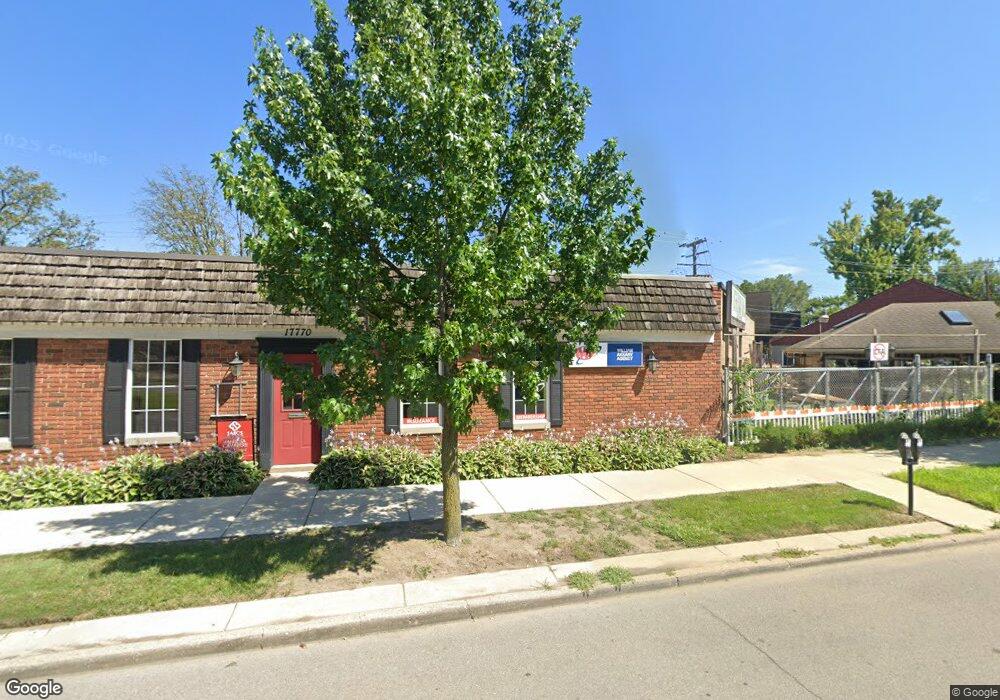
17770 Mack Ave Grosse Pointe, MI 48230
Estimated Value: $616,791
Studio
--
Bath
3,604
Sq Ft
$171/Sq Ft
Est. Value
About This Home
This home is located at 17770 Mack Ave, Grosse Pointe, MI 48230 and is currently estimated at $616,791, approximately $171 per square foot. 17770 Mack Ave is a home located in Wayne County with nearby schools including Richard Elementary School, Brownell Middle School, and Grosse Pointe South High School.
Ownership History
Date
Name
Owned For
Owner Type
Purchase Details
Closed on
May 15, 2019
Sold by
Applewhite Llc
Bought by
Mack Partners Llc
Current Estimated Value
Home Financials for this Owner
Home Financials are based on the most recent Mortgage that was taken out on this home.
Original Mortgage
$320,000
Outstanding Balance
$280,196
Interest Rate
4%
Mortgage Type
Commercial
Estimated Equity
$336,595
Purchase Details
Closed on
Sep 24, 1999
Sold by
Lesesne Ann K
Bought by
Applewhite
Create a Home Valuation Report for This Property
The Home Valuation Report is an in-depth analysis detailing your home's value as well as a comparison with similar homes in the area
Home Values in the Area
Average Home Value in this Area
Purchase History
| Date | Buyer | Sale Price | Title Company |
|---|---|---|---|
| Mack Partners Llc | $400,000 | Ata National Title Group Llc | |
| Applewhite | $400,000 | -- |
Source: Public Records
Mortgage History
| Date | Status | Borrower | Loan Amount |
|---|---|---|---|
| Open | Mack Partners Llc | $320,000 |
Source: Public Records
Tax History
| Year | Tax Paid | Tax Assessment Tax Assessment Total Assessment is a certain percentage of the fair market value that is determined by local assessors to be the total taxable value of land and additions on the property. | Land | Improvement |
|---|---|---|---|---|
| 2025 | $8,126 | $249,300 | $0 | $0 |
| 2024 | $7,853 | $241,400 | $0 | $0 |
| 2023 | $7,489 | $222,000 | $0 | $0 |
| 2022 | $13,727 | $210,500 | $0 | $0 |
| 2021 | $13,364 | $206,000 | $0 | $0 |
| 2019 | $11,580 | $224,600 | $0 | $0 |
| 2018 | $5,722 | $189,300 | $0 | $0 |
| 2017 | $9,941 | $186,900 | $0 | $0 |
| 2016 | $10,486 | $189,300 | $0 | $0 |
| 2015 | $16,330 | $191,100 | $0 | $0 |
| 2013 | $15,820 | $237,600 | $0 | $0 |
| 2012 | -- | $224,900 | $0 | $0 |
Source: Public Records
Map
Nearby Homes
- 4082 Hereford St
- 17590 Mack Ave Unit 8
- 17540 Mack Ave Unit 10
- 4104 Woodhall St
- 4522 Hereford St
- 4383 Neff Ave
- 4528 Farmbrook St
- 4496 Radnor St
- 407 Moran Rd
- 346 Mckinley Ave
- 341 Mcmillan Rd
- 464 Mckinley Ave
- 17179 Detroit St
- 4607 Radnor St
- 4403 Guilford St
- 3950 Cadieux Rd
- 4845 University Place
- 4865 Marseilles St
- 3930 Cadieux Rd
- 4861 Farmbrook St
- 17770 Mack Ave Unit Suite B
- 17750 Mack Ave
- 17738 Mack Ave
- 17732 Mack Ave
- 17728 Mack Ave
- 949 Rivard Blvd Unit Bldg-Unit
- 949 Rivard Blvd
- 970 Rivard Blvd
- 966 Rivard Blvd
- 943 Rivard Blvd
- 958 Rivard Blvd
- 950 Rivard Blvd
- 939 Rivard Blvd
- 942 University Place
- 17834 Mack Ave
- 1619 University Place
- 933 Rivard Blvd
- 946 Rivard Blvd
- 936 University Place
- 929 Rivard Blvd
Your Personal Tour Guide
Ask me questions while you tour the home.