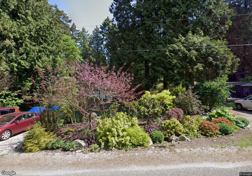
1778 Province Rd Point Roberts, WA 98281
Estimated Value: $428,000 - $470,000
3
Beds
2
Baths
1,751
Sq Ft
$252/Sq Ft
Est. Value
About This Home
This home is located at 1778 Province Rd, Point Roberts, WA 98281 and is currently estimated at $440,956, approximately $251 per square foot. 1778 Province Rd is a home located in Whatcom County with nearby schools including Point Roberts Primary School, Blaine Middle School, and Blaine High School.
Ownership History
Date
Name
Owned For
Owner Type
Purchase Details
Closed on
May 3, 2005
Sold by
Mcneil Donald John and Mcneil Dianna E
Bought by
Ball Dean R and Ball Gina Marie
Current Estimated Value
Home Financials for this Owner
Home Financials are based on the most recent Mortgage that was taken out on this home.
Original Mortgage
$111,200
Interest Rate
5.56%
Mortgage Type
Fannie Mae Freddie Mac
Create a Home Valuation Report for This Property
The Home Valuation Report is an in-depth analysis detailing your home's value as well as a comparison with similar homes in the area
Home Values in the Area
Average Home Value in this Area
Purchase History
| Date | Buyer | Sale Price | Title Company |
|---|---|---|---|
| Ball Dean R | $139,000 | Whatcom Land Title |
Source: Public Records
Mortgage History
| Date | Status | Borrower | Loan Amount |
|---|---|---|---|
| Closed | Ball Dean R | $111,200 |
Source: Public Records
Tax History Compared to Growth
Tax History
| Year | Tax Paid | Tax Assessment Tax Assessment Total Assessment is a certain percentage of the fair market value that is determined by local assessors to be the total taxable value of land and additions on the property. | Land | Improvement |
|---|---|---|---|---|
| 2024 | $3,078 | $380,460 | $102,383 | $278,077 |
| 2023 | $3,078 | $371,152 | $93,075 | $278,077 |
| 2022 | $2,257 | $338,952 | $85,000 | $253,952 |
| 2021 | $2,248 | $221,961 | $32,102 | $189,859 |
| 2020 | $2,240 | $205,517 | $29,724 | $175,793 |
| 2019 | $2,080 | $197,137 | $28,512 | $168,625 |
| 2018 | $1,953 | $177,224 | $25,632 | $151,592 |
| 2017 | $1,694 | $169,259 | $24,480 | $144,779 |
| 2016 | $1,797 | $165,940 | $24,000 | $141,940 |
| 2015 | $1,911 | $171,236 | $32,847 | $138,389 |
| 2014 | -- | $179,014 | $34,340 | $144,674 |
| 2013 | -- | $171,039 | $32,980 | $138,059 |
Source: Public Records
Map
Nearby Homes
- 25 Roosevelt Way
- 125 Park Dr
- 1931 Sanders Ct Unit 11
- 1871 Johnson Rd
- 1 Mill Rd
- 2 Mill Rd
- 245 Shady Glen Ave
- 17 Lot Massey Way
- 1521 Roosevelt Way
- 8 Heather Way
- 1518 #10 Churchill Dr
- 0 3 73 Acres Derby Ave
- 168 Tyee Dr
- 158 Tyee Dr
- 2 Benson Rd
- 103 Goodman Rd
- 2145 Fir St
- 0 6 39 Acres South Beach Rd
- Lot 2 Greenwood Dr
- lot 14 Cedar Park Dr Unit 14