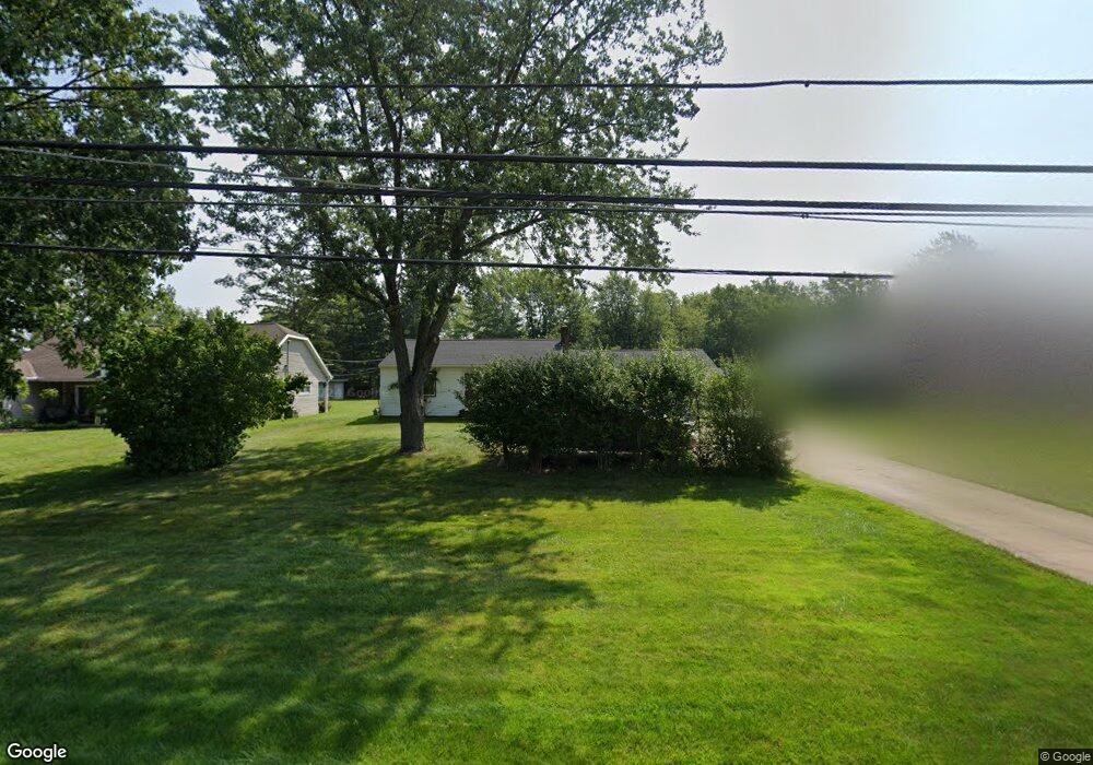
17785 Howe Rd Strongsville, OH 44136
Estimated Value: $218,000 - $305,000
3
Beds
1
Bath
1,040
Sq Ft
$240/Sq Ft
Est. Value
About This Home
This home is located at 17785 Howe Rd, Strongsville, OH 44136 and is currently estimated at $249,267, approximately $239 per square foot. 17785 Howe Rd is a home located in Cuyahoga County with nearby schools including Strongsville High School, Sts Joseph & John Interparochial School, and Royal Redeemer Lutheran School.
Ownership History
Date
Name
Owned For
Owner Type
Purchase Details
Closed on
Oct 19, 1995
Sold by
Malinak Bernice I
Bought by
Guzik Stephanie
Current Estimated Value
Home Financials for this Owner
Home Financials are based on the most recent Mortgage that was taken out on this home.
Original Mortgage
$64,700
Outstanding Balance
$457
Interest Rate
7.68%
Mortgage Type
New Conventional
Estimated Equity
$248,810
Purchase Details
Closed on
Dec 2, 1993
Sold by
Malinak Anthony G and Malinak Bernice
Bought by
Malinak Bernice I
Purchase Details
Closed on
Jan 1, 1975
Bought by
Malinak Anthony G and Malinak Bernice
Create a Home Valuation Report for This Property
The Home Valuation Report is an in-depth analysis detailing your home's value as well as a comparison with similar homes in the area
Home Values in the Area
Average Home Value in this Area
Purchase History
| Date | Buyer | Sale Price | Title Company |
|---|---|---|---|
| Guzik Stephanie | $81,500 | -- | |
| Malinak Bernice I | -- | -- | |
| Malinak Anthony G | -- | -- |
Source: Public Records
Mortgage History
| Date | Status | Borrower | Loan Amount |
|---|---|---|---|
| Open | Guzik Stephanie | $64,700 |
Source: Public Records
Tax History Compared to Growth
Tax History
| Year | Tax Paid | Tax Assessment Tax Assessment Total Assessment is a certain percentage of the fair market value that is determined by local assessors to be the total taxable value of land and additions on the property. | Land | Improvement |
|---|---|---|---|---|
| 2024 | $3,103 | $66,080 | $13,475 | $52,605 |
| 2023 | $3,114 | $49,740 | $14,740 | $35,000 |
| 2022 | $3,092 | $49,740 | $14,740 | $35,000 |
| 2021 | $3,067 | $49,740 | $14,740 | $35,000 |
| 2020 | $2,843 | $40,780 | $12,080 | $28,700 |
| 2019 | $2,759 | $116,500 | $34,500 | $82,000 |
| 2018 | $2,504 | $40,780 | $12,080 | $28,700 |
| 2017 | $2,329 | $35,110 | $10,890 | $24,220 |
| 2016 | $2,310 | $35,110 | $10,890 | $24,220 |
| 2015 | $2,343 | $35,110 | $10,890 | $24,220 |
| 2014 | $2,343 | $35,110 | $10,890 | $24,220 |
Source: Public Records
Map
Nearby Homes
- 17130 Golden Star Dr
- 18229 Howe Rd
- 16650 Lanier Ave
- 17159 Turkey Meadow Ln
- 14558 Drake Rd
- 16711 Beech Cir
- 18987 Laurell Cir
- 14985 Camden Cir
- 16969 Antler Ln
- 14132 Walking Stick Way
- 17682 Drake Rd
- 19694 Benbow Rd
- 15772 Boston Rd
- 19740 Benbow Rd
- 15604-REAR Boston Rd
- 15188 Trails Landing
- 14292 Trenton Ave
- 17029 Eagles Nest Cir
- 17745 Brick Mill Run
- 18294 Drake Rd
- 17823 Howe Rd
- 17741 Howe Rd
- 17831 Howe Rd
- 17780 Howe Rd
- 17736 Howe Rd
- 15891 Drake Rd
- 17804 Howe Rd
- 17702 Howe Rd
- 17838 Howe Rd
- 17668 Howe Rd
- 15851 Drake Rd
- 17872 Howe Rd
- 15847 Drake Rd
- 17959 Howe Rd
- 17634 Howe Rd
- 17773 Blazing Star Dr
- 17805 Blazing Star Dr
- 17906 Howe Rd
- 15799 Drake Rd
- 17831 Blazing Star Dr