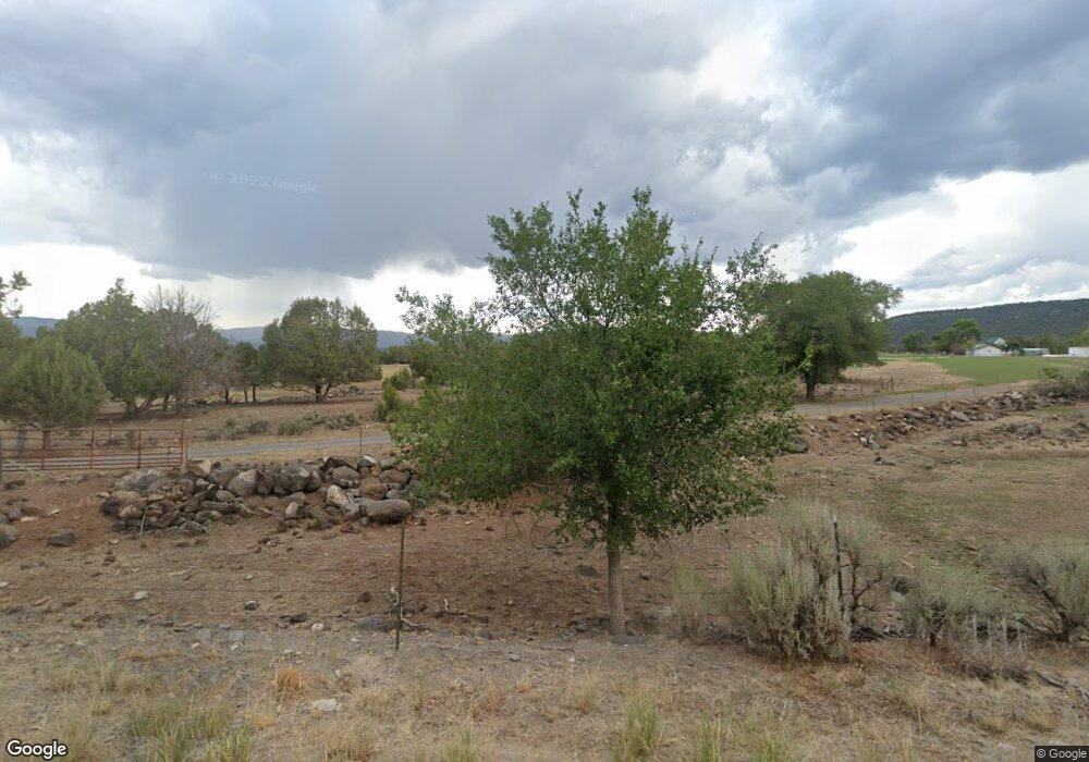
17787 Hanson Rd Cedaredge, CO 81413
Estimated Value: $410,000 - $551,000
2
Beds
1
Bath
1,632
Sq Ft
$298/Sq Ft
Est. Value
About This Home
This home is located at 17787 Hanson Rd, Cedaredge, CO 81413 and is currently estimated at $485,858, approximately $297 per square foot. 17787 Hanson Rd is a home located in Delta County with nearby schools including Cedaredge Elementary School, Cedaredge Middle School, and Cedaredge High School.
Ownership History
Date
Name
Owned For
Owner Type
Purchase Details
Closed on
Feb 19, 2013
Sold by
Hanson Arlo C and Hanson Joan L
Bought by
Hanson Arlo C and Hanson Joan L
Current Estimated Value
Purchase Details
Closed on
Dec 13, 2011
Sold by
Hanson Arlo C
Bought by
Hanson Karen
Purchase Details
Closed on
Sep 15, 2011
Sold by
Hanson Arlo C and Hanson Karen Kay
Bought by
Hanson Arlo C and Hanson Karen Kay
Create a Home Valuation Report for This Property
The Home Valuation Report is an in-depth analysis detailing your home's value as well as a comparison with similar homes in the area
Purchase History
| Date | Buyer | Sale Price | Title Company |
|---|---|---|---|
| Hanson Arlo C | -- | None Available | |
| Hanson Karen | -- | None Available | |
| Hanson Arlo C | -- | None Available | |
| Hanson Arlo C | -- | None Available |
Source: Public Records
Tax History
| Year | Tax Paid | Tax Assessment Tax Assessment Total Assessment is a certain percentage of the fair market value that is determined by local assessors to be the total taxable value of land and additions on the property. | Land | Improvement |
|---|---|---|---|---|
| 2024 | $764 | $12,359 | $4,987 | $7,372 |
| 2023 | $764 | $12,359 | $4,987 | $7,372 |
| 2022 | $786 | $13,074 | $4,542 | $8,532 |
| 2021 | $809 | $13,814 | $4,989 | $8,825 |
| 2020 | $692 | $11,632 | $4,246 | $7,386 |
| 2019 | $694 | $11,632 | $4,246 | $7,386 |
| 2018 | $712 | $11,484 | $5,413 | $6,071 |
| 2017 | $712 | $11,484 | $5,413 | $6,071 |
| 2016 | $576 | $10,214 | $4,443 | $5,771 |
| 2014 | -- | $7,433 | $2,984 | $4,449 |
Source: Public Records
Map
Nearby Homes
- 17969 Surface Creek Rd
- 18200 Surface Creek Rd
- 17826 & 17830 Hanson Rd
- 794 NE Indian Camp Ave
- 17343 Surface Creek Rd
- 377 NE Indian Camp Ave
- 635 NE 2nd St
- 17656 2550 Rd
- 18377 Highway 65
- 633 E Main St
- 16709 Cedar Ln
- Lot 1 2500 Rd
- 365 NW Cedar Ave
- 245 NW 3rd St
- 345 1/2 NW 4th St
- 470 NW Cedar Ave
- 160 SE Antelope Ave
- 190 & 170 SW 2nd Ave Unit A, B, C
- 105 SE Buffalo Ave
- 620 SE Pinyon St
- 17826 Hanson Rd
- 17826 and 17830 Hanson Rd
- 18072 Surface Creek Rd
- 17927 Hanson Rd
- 17912 Hanson Rd
- 17943 Surface Creek Rd
- 17881 Surface Creek Rd
- 17903 Surface Creek Rd
- 17821 Surface Creek Rd
- 17954 Hanson Rd
- 17954 Hanson Rd Unit 17958 Hanson Rd
- 17825 Surface Creek Rd
- 24774 Rhapsody Rd
- 24768 Robin Rd
- Hanson Rd Unit 640172
- Hanson Rd Unit 647998
- Hanson Rd Unit 672074
- Hanson Rd Unit 671989
- Hanson Rd Unit 684420
- Hanson Rd Unit 698334
