Estimated Value: $811,000 - $888,217
6
Beds
4
Baths
4,138
Sq Ft
$203/Sq Ft
Est. Value
About This Home
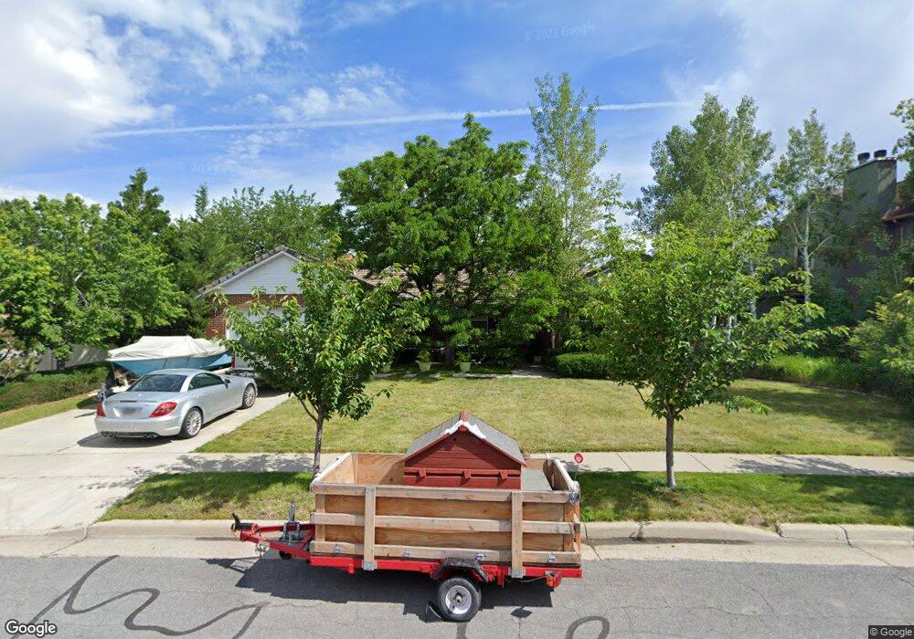
This home is located at 1779 Michael Way, Sandy, UT 84093 and is currently estimated at $840,554, approximately $203 per square foot. 1779 Michael Way is a home located in Salt Lake County with nearby schools including Silver Mesa Elementary School, Albion Middle School, and Hillcrest High School.
Ownership History
Date
Name
Owned For
Owner Type
Purchase Details
Closed on
Sep 13, 2024
Sold by
St Vaughan Rc and Syslo Michelle
Bought by
Amy Cheng Trust and Cheng
Current Estimated Value
Purchase Details
Closed on
Sep 29, 2023
Sold by
St Vaughan Rc
Bought by
St Vaughan Rc and Syslo Michelle
Purchase Details
Closed on
May 21, 2015
Sold by
Vaughan Rod C St
Bought by
Vaughan Rc St
Home Financials for this Owner
Home Financials are based on the most recent Mortgage that was taken out on this home.
Original Mortgage
$70,000
Interest Rate
3.84%
Purchase Details
Closed on
Sep 25, 2007
Sold by
Said Qayyim
Bought by
Vaughan Rod Ct St
Home Financials for this Owner
Home Financials are based on the most recent Mortgage that was taken out on this home.
Original Mortgage
$296,000
Interest Rate
6.61%
Mortgage Type
Unknown
Purchase Details
Closed on
May 22, 2006
Sold by
Franco Robert E and Franco Sue Ann
Bought by
Said Qayyim
Home Financials for this Owner
Home Financials are based on the most recent Mortgage that was taken out on this home.
Original Mortgage
$284,000
Interest Rate
6.46%
Mortgage Type
Fannie Mae Freddie Mac
Purchase Details
Closed on
Jul 9, 2003
Sold by
Franco Sue Ann and Franco Robert E
Bought by
Franco Robert E and Franco Sue Ann
Home Financials for this Owner
Home Financials are based on the most recent Mortgage that was taken out on this home.
Original Mortgage
$142,300
Interest Rate
5.22%
Mortgage Type
Balloon
Purchase Details
Closed on
Aug 7, 2002
Sold by
Franco Robert E and Franco Sue Ann
Bought by
Franco Robert E and Franco Sue Ann
Home Financials for this Owner
Home Financials are based on the most recent Mortgage that was taken out on this home.
Original Mortgage
$143,000
Interest Rate
6.52%
Mortgage Type
Balloon
Purchase Details
Closed on
Nov 29, 1994
Sold by
Paul Betty J
Bought by
Franco Robert E and Franco Sue Ann
Home Financials for this Owner
Home Financials are based on the most recent Mortgage that was taken out on this home.
Original Mortgage
$149,000
Interest Rate
8.9%
Create a Home Valuation Report for This Property
The Home Valuation Report is an in-depth analysis detailing your home's value as well as a comparison with similar homes in the area
Home Values in the Area
Average Home Value in this Area
Purchase History
| Date | Buyer | Sale Price | Title Company |
|---|---|---|---|
| Amy Cheng Trust | -- | Meraki Title Insurance Agency | |
| St Vaughan Rc | -- | None Listed On Document | |
| Vaughan Rc St | -- | Us Title | |
| Vaughan Rod Ct St | -- | Landmark Title | |
| Said Qayyim | -- | Transunion Title Ins | |
| Franco Robert E | -- | United Title Services | |
| Franco Robert E | -- | Preferred Title & Escrow Ins | |
| Franco Robert E | -- | -- |
Source: Public Records
Mortgage History
| Date | Status | Borrower | Loan Amount |
|---|---|---|---|
| Previous Owner | Vaughan Rc St | $70,000 | |
| Previous Owner | Vaughan Rc St | $293,600 | |
| Previous Owner | Vaughan Rod Ct St | $296,000 | |
| Previous Owner | Said Qayyim | $284,000 | |
| Previous Owner | Franco Robert E | $142,300 | |
| Previous Owner | Franco Robert E | $143,000 | |
| Previous Owner | Franco Robert E | $149,000 |
Source: Public Records
Tax History Compared to Growth
Tax History
| Year | Tax Paid | Tax Assessment Tax Assessment Total Assessment is a certain percentage of the fair market value that is determined by local assessors to be the total taxable value of land and additions on the property. | Land | Improvement |
|---|---|---|---|---|
| 2025 | $3,969 | $819,300 | $333,900 | $485,400 |
| 2024 | $3,969 | $744,000 | $321,400 | $422,600 |
| 2023 | $3,969 | $639,000 | $309,100 | $329,900 |
| 2022 | $3,626 | $651,800 | $303,000 | $348,800 |
| 2021 | $3,290 | $503,000 | $240,400 | $262,600 |
| 2020 | $3,162 | $467,600 | $240,400 | $227,200 |
| 2019 | $3,138 | $452,800 | $226,700 | $226,100 |
| 2018 | $2,969 | $448,000 | $226,700 | $221,300 |
| 2017 | $2,847 | $410,900 | $226,700 | $184,200 |
| 2016 | $2,696 | $376,100 | $204,300 | $171,800 |
| 2015 | $2,725 | $352,500 | $216,600 | $135,900 |
| 2014 | $2,640 | $335,400 | $210,500 | $124,900 |
Source: Public Records
Map
Nearby Homes
- 9130 Maison Dr
- 1616 Waters Ln
- 1482 Waters Ln
- 8638 Piper Ln
- 9277 S 1520 E
- 1779 E Mombo Dr
- 9460 S Tramway Dr
- 2120 E Newcastle Dr
- 1393 E Galaxie Dr
- 9171 Strasbourg Cir
- 1430 E 8685 S
- 1492 E Sandy Hills Dr
- 1924 E Viscounti Cove
- 1368 Silvercrest Dr
- 8492 S Mesa Dr
- 1990 E Terra Vista Way
- 9595 S 1700 E
- 8571 Monitor Dr
- 8483 S Terrace Dr
- 9123 Meadow Ct
- 1789 Michael Way
- 1789 E Michael Way
- 1774 Cameo Way
- 1774 E Cameo Way
- 1769 Michael Way
- 1784 E Cameo Way
- 1784 Cameo Way
- 1766 Cameo Way
- 1782 Michael Way
- 1768 Michael Way
- 1801 Michael Way
- 1759 Michael Way
- 9004 Cameo Way
- 8993 S Cameo Way
- 1752 E Misty Meadow
- 1752 E Misty Meadows Cir
- 1752 Misty Meadows Cir
- 8993 Cameo Way
- 1794 Cameo Way
- 1752 Misty Meadow Cir