1779 Post Ave Unit Bldg-Unit West Bloomfield, MI 48324
Estimated Value: $282,581 - $360,000
2
Beds
1
Bath
962
Sq Ft
$330/Sq Ft
Est. Value
About This Home
This home is located at 1779 Post Ave Unit Bldg-Unit, West Bloomfield, MI 48324 and is currently estimated at $317,645, approximately $330 per square foot. 1779 Post Ave Unit Bldg-Unit is a home located in Oakland County with nearby schools including Waterford Montessori Academy, Our Lady Of Refuge School, and Lakecrest Baptist School.
Ownership History
Date
Name
Owned For
Owner Type
Purchase Details
Closed on
Jun 13, 2018
Sold by
Nowak Lynn and Nowak Larry J
Bought by
Peltier Jeffrey
Current Estimated Value
Purchase Details
Closed on
May 29, 2015
Sold by
Mcroberts Timothy and Mcroberts Leslie M
Bought by
Nowak Lynn and Nowak Larry J
Purchase Details
Closed on
Sep 1, 2000
Sold by
Curtis Eric M
Bought by
Mcroberts Timothy
Home Financials for this Owner
Home Financials are based on the most recent Mortgage that was taken out on this home.
Original Mortgage
$146,600
Interest Rate
7.77%
Create a Home Valuation Report for This Property
The Home Valuation Report is an in-depth analysis detailing your home's value as well as a comparison with similar homes in the area
Home Values in the Area
Average Home Value in this Area
Purchase History
| Date | Buyer | Sale Price | Title Company |
|---|---|---|---|
| Peltier Jeffrey | $195,000 | Title One Inc | |
| Nowak Lynn | $135,000 | Title One Inc | |
| Mcroberts Timothy | $172,500 | -- |
Source: Public Records
Mortgage History
| Date | Status | Borrower | Loan Amount |
|---|---|---|---|
| Previous Owner | Mcroberts Timothy | $146,600 |
Source: Public Records
Tax History Compared to Growth
Tax History
| Year | Tax Paid | Tax Assessment Tax Assessment Total Assessment is a certain percentage of the fair market value that is determined by local assessors to be the total taxable value of land and additions on the property. | Land | Improvement |
|---|---|---|---|---|
| 2024 | $2,693 | $118,560 | $0 | $0 |
| 2022 | $2,574 | $97,240 | $36,500 | $60,740 |
| 2021 | $3,753 | $91,050 | $0 | $0 |
| 2020 | $2,478 | $88,530 | $36,500 | $52,030 |
| 2018 | $3,736 | $85,600 | $45,630 | $39,970 |
| 2015 | -- | $64,210 | $0 | $0 |
| 2014 | -- | $57,990 | $0 | $0 |
| 2011 | -- | $58,150 | $0 | $0 |
Source: Public Records
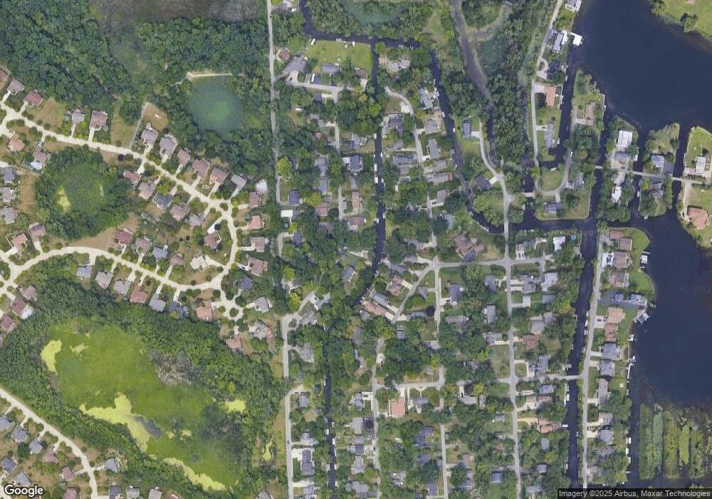
Map
Nearby Homes
- 1677 Parkview Ave
- 2115 Aldwin Dr
- 1522 Oregon Ct
- 5145 Greer Rd
- 5149 Latimer St
- 1753 Dawncrest Dr
- 00000 Muskingum
- 1859 Poppleton Dr
- 1844 Poppleton Dr
- 1265 Oregon Blvd
- 1036 Pelham Blvd
- 4098 Parkway
- 5094 Coshocton Dr
- 2110 Peachtree Ct
- 4796 Dow Ridge Rd
- 4764 Dow Ridge Rd
- 4773 Chipman Dr
- 4041 Chenlot Ln
- 4275 Forest Valley Ct
- 4616 Cass Elizabeth Rd
- 1779 Post Ave
- 1795 Post Ave
- 1761 Post Ave
- 1760 Post Ave
- 1810 Allendale Ave
- 1731 Post Ave
- 1806 Allendale Ave
- 1824 Allendale Ave
- 1802 Allendale Ave
- 1750 Oldtown Ave
- 1800 Post Ave
- 1832 Allendale Ave
- 1740 Post Ave
- 1735 Rosedale St Unit Bldg-Unit
- 1735 Rosedale St
- 1702 Oldtown Ave
- 1850 Allendale Ave
- 1715 Rosedale St
- 1809 Post Ave
- 1711 Post Ave