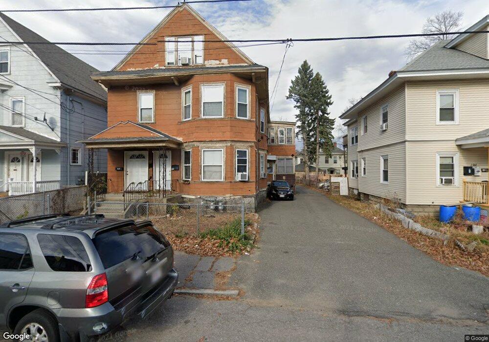
178 Abbott St Unit 180 Lawrence, MA 01843
South Common NeighborhoodEstimated Value: $628,222 - $899,000
8
Beds
2
Baths
2,400
Sq Ft
$323/Sq Ft
Est. Value
About This Home
This home is located at 178 Abbott St Unit 180, Lawrence, MA 01843 and is currently estimated at $776,056, approximately $323 per square foot. 178 Abbott St Unit 180 is a home located in Essex County with nearby schools including John Breen School, South Lawrence East Elementary School, and School For Exceptional Studies.
Ownership History
Date
Name
Owned For
Owner Type
Purchase Details
Closed on
Jun 17, 1998
Sold by
Batista Eunice
Bought by
Toeur Heng
Current Estimated Value
Home Financials for this Owner
Home Financials are based on the most recent Mortgage that was taken out on this home.
Original Mortgage
$97,100
Interest Rate
7.09%
Mortgage Type
Purchase Money Mortgage
Purchase Details
Closed on
Oct 8, 1993
Sold by
Gallo Ralph P
Bought by
Batista Eunice
Create a Home Valuation Report for This Property
The Home Valuation Report is an in-depth analysis detailing your home's value as well as a comparison with similar homes in the area
Home Values in the Area
Average Home Value in this Area
Purchase History
| Date | Buyer | Sale Price | Title Company |
|---|---|---|---|
| Toeur Heng | $100,000 | -- | |
| Batista Eunice | $72,000 | -- |
Source: Public Records
Mortgage History
| Date | Status | Borrower | Loan Amount |
|---|---|---|---|
| Open | Batista Eunice | $125,000 | |
| Closed | Batista Eunice | $97,100 | |
| Previous Owner | Batista Eunice | $19,000 |
Source: Public Records
Tax History
| Year | Tax Paid | Tax Assessment Tax Assessment Total Assessment is a certain percentage of the fair market value that is determined by local assessors to be the total taxable value of land and additions on the property. | Land | Improvement |
|---|---|---|---|---|
| 2025 | $4,955 | $563,100 | $110,300 | $452,800 |
| 2024 | $4,538 | $490,600 | $119,400 | $371,200 |
| 2023 | $4,420 | $435,000 | $110,700 | $324,300 |
| 2022 | $4,134 | $361,400 | $100,400 | $261,000 |
| 2021 | $4,056 | $330,600 | $100,400 | $230,200 |
| 2020 | $3,901 | $313,800 | $95,200 | $218,600 |
| 2019 | $3,886 | $284,100 | $79,100 | $205,000 |
| 2018 | $3,571 | $249,400 | $75,000 | $174,400 |
| 2017 | $3,327 | $216,900 | $70,800 | $146,100 |
| 2016 | $3,252 | $209,700 | $58,300 | $151,400 |
| 2015 | $3,190 | $211,000 | $58,300 | $152,700 |
Source: Public Records
Map
Nearby Homes
- 91-93 Andover St
- 119 Andover St
- 183 Farnham St Unit 189
- 161-167 S Union St
- 151-153 Bailey St
- 100 Bailey St Unit 1
- 100 Bailey St Unit 3
- 356-360 S Union St
- 46-46A Dorchester St
- 27-29 Dorchester St
- 31 Garfield St
- 100 Union St
- 68 Union St
- 82 S Broadway
- 7 Stevens Ct
- 350 Greene St Unit 410
- 350 Greene St Unit 305
- 28 Patriot St
- 341 S Broadway- Parcel II
- 49 Bowdoin St Unit 51
- 184 Abbott St
- 174 Abbott St Unit 176
- 168-170 Abbott St
- 168 Abbott St Unit 170
- 221 Bailey St
- 55 Osgood St
- 225-227 Bailey St
- 225 Bailey St Unit 227
- 225 Bailey St
- 59 Osgood St
- 183 Abbott St
- 179 -183 Abbott St
- 164 Abbott St Unit 166
- 164-166 Abbott St
- 213 Bailey St
- 53 Osgood St
- 175 Abbott St Unit 177
- 175 Abbott St Unit 175-1
- 189 Abbott St Unit 191
- 185 Abbott St
Your Personal Tour Guide
Ask me questions while you tour the home.