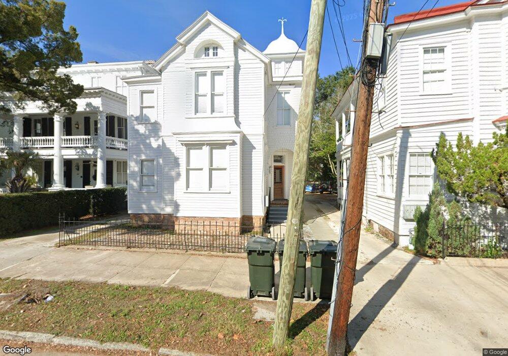
178 Broad St Unit C Charleston, SC 29401
Harleston Village NeighborhoodEstimated Value: $1,563,096 - $2,798,000
1
Bed
1
Bath
700
Sq Ft
$3,015/Sq Ft
Est. Value
About This Home
This home is located at 178 Broad St Unit C, Charleston, SC 29401 and is currently estimated at $2,110,524, approximately $3,015 per square foot. 178 Broad St Unit C is a home located in Charleston County with nearby schools including Memminger Elementary School, Simmons Pinckney Middle, and Burke High School.
Ownership History
Date
Name
Owned For
Owner Type
Purchase Details
Closed on
Jun 8, 2018
Sold by
Imprimis Carolina Llc
Bought by
622 Ocean Llc
Current Estimated Value
Purchase Details
Closed on
Jul 1, 2016
Sold by
Ravenel Daniel
Bought by
Imprimis Carolina Llc
Purchase Details
Closed on
Dec 18, 2015
Sold by
Estate Of Melanie E Oakman
Bought by
Ravenel Daniel
Create a Home Valuation Report for This Property
The Home Valuation Report is an in-depth analysis detailing your home's value as well as a comparison with similar homes in the area
Home Values in the Area
Average Home Value in this Area
Purchase History
| Date | Buyer | Sale Price | Title Company |
|---|---|---|---|
| 622 Ocean Llc | $1,995,000 | None Available | |
| Imprimis Carolina Llc | $1,700,000 | -- | |
| Ravenel Daniel | -- | -- |
Source: Public Records
Tax History Compared to Growth
Tax History
| Year | Tax Paid | Tax Assessment Tax Assessment Total Assessment is a certain percentage of the fair market value that is determined by local assessors to be the total taxable value of land and additions on the property. | Land | Improvement |
|---|---|---|---|---|
| 2024 | $15,326 | $47,780 | $0 | $0 |
| 2023 | $13,865 | $47,780 | $0 | $0 |
| 2022 | $12,827 | $47,780 | $0 | $0 |
| 2021 | $12,669 | $47,780 | $0 | $0 |
| 2020 | $10,537 | $39,900 | $0 | $0 |
| 2019 | $10,314 | $37,200 | $0 | $0 |
| 2017 | $9,855 | $37,200 | $0 | $0 |
| 2016 | $10,514 | $33,000 | $0 | $0 |
| 2015 | $8,849 | $36,130 | $0 | $0 |
| 2014 | $7,989 | $0 | $0 | $0 |
| 2011 | -- | $0 | $0 | $0 |
Source: Public Records
Map
Nearby Homes
- 176 Broad St
- 13 Trumbo St
- 4 Trapman St Unit B
- 4 Trapman St Unit A
- 6 Rutledge Ave
- 16 Trumbo St
- 156 Tradd St Unit E
- 172 Tradd St
- 155 Queen St Unit A
- 155 Queen St Unit B
- 146 Broad St Unit B
- 173 Tradd St
- 153 Queen St
- 143 Broad St
- 7 Logan St Unit F
- 54 Gibbes St
- 14 Limehouse St
- 124 S Battery St
- 67 Legare St Unit 307
- 125 Tradd St
- 178 Broad St
- 178 Broad St Unit D
- 176 Broad St Unit C
- 176 Broad St Unit B
- 176 Broad St Unit A
- 176 Broad St Unit D
- 180 Broad St Unit E
- 180 Broad St Unit D
- 180 Broad St Unit C
- 180 Broad St Unit B
- 180 Broad St Unit A
- 180 Broad St
- 180 Broad St Unit A
- 180 Broad St Unit D
- 174 Broad St Unit A
- 182 Broad St
- 1 Trapman St
- 3 Trapman St
- 15 Trumbo St
- 5 Trapman St