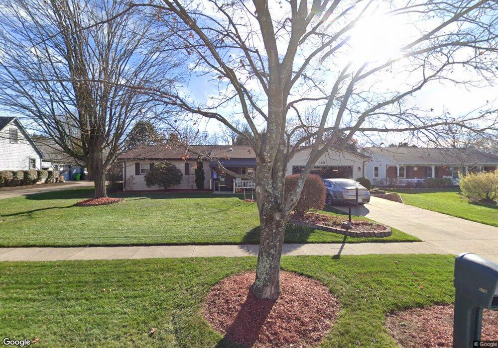
178 Cannon Dr Wooster, OH 44691
Estimated Value: $288,991 - $352,000
3
Beds
2
Baths
1,816
Sq Ft
$175/Sq Ft
Est. Value
About This Home
This home is located at 178 Cannon Dr, Wooster, OH 44691 and is currently estimated at $317,998, approximately $175 per square foot. 178 Cannon Dr is a home located in Wayne County with nearby schools including Kean Elementary School, Parkview Elementary School, and Edgewood Middle School.
Ownership History
Date
Name
Owned For
Owner Type
Purchase Details
Closed on
Jul 13, 2023
Sold by
Elmer O Hawthorne Trust
Bought by
Mary R Hawthorne Trust and Hawthorne
Current Estimated Value
Purchase Details
Closed on
Aug 20, 2008
Sold by
Hawthorne Elmer O and Hawthorne Mary R
Bought by
Hawthorne Elmer O and Elmer O Hawthorne Trust
Purchase Details
Closed on
Jan 1, 1987
Bought by
Hawthorne Elmer O and Hawthorne Mary
Create a Home Valuation Report for This Property
The Home Valuation Report is an in-depth analysis detailing your home's value as well as a comparison with similar homes in the area
Home Values in the Area
Average Home Value in this Area
Purchase History
| Date | Buyer | Sale Price | Title Company |
|---|---|---|---|
| Mary R Hawthorne Trust | -- | None Listed On Document | |
| Mary R Hawthorne Trust | -- | None Listed On Document | |
| Hawthorne Elmer O | -- | Attorney | |
| Hawthorne Elmer O | -- | -- |
Source: Public Records
Tax History
| Year | Tax Paid | Tax Assessment Tax Assessment Total Assessment is a certain percentage of the fair market value that is determined by local assessors to be the total taxable value of land and additions on the property. | Land | Improvement |
|---|---|---|---|---|
| 2025 | $3,043 | $83,830 | $18,070 | $65,760 |
| 2024 | $3,043 | $83,830 | $18,070 | $65,760 |
| 2023 | $3,070 | $83,830 | $18,070 | $65,760 |
| 2022 | $2,642 | $59,450 | $12,810 | $46,640 |
| 2021 | $2,725 | $59,450 | $12,810 | $46,640 |
| 2020 | $2,584 | $59,450 | $12,810 | $46,640 |
| 2019 | $2,145 | $49,160 | $12,490 | $36,670 |
| 2018 | $2,151 | $49,160 | $12,490 | $36,670 |
| 2017 | $2,139 | $49,160 | $12,490 | $36,670 |
| 2016 | $2,215 | $47,270 | $12,010 | $35,260 |
| 2015 | $2,174 | $47,270 | $12,010 | $35,260 |
| 2014 | $2,175 | $47,270 | $12,010 | $35,260 |
| 2013 | $2,217 | $47,550 | $12,040 | $35,510 |
Source: Public Records
Map
Nearby Homes
- 240 Winkler Dr
- 220 Kinney St
- 2677 Taylor St
- 437 Mather Hill Dr
- 2020 Winkler Dr
- 2552 Monterey St
- 2586 Taylor St
- 1024 Kadas Ln
- 539 Forest Creek Dr Unit 6842
- 0 Dornoch Dr Unit 5195787
- 589 Forest Creek Dr
- 1106 Kadas Ln
- 588 Forest Creek Dr
- V/L 6838 Forest Creek Dr
- 103 Oakmont Ct
- 503 Oakmont Ct Unit 503
- 2240 Grandview Ave
- 2214 Cleveland Rd
- 2011 Burbank Rd
- 2208 Cleveland Rd
Your Personal Tour Guide
Ask me questions while you tour the home.