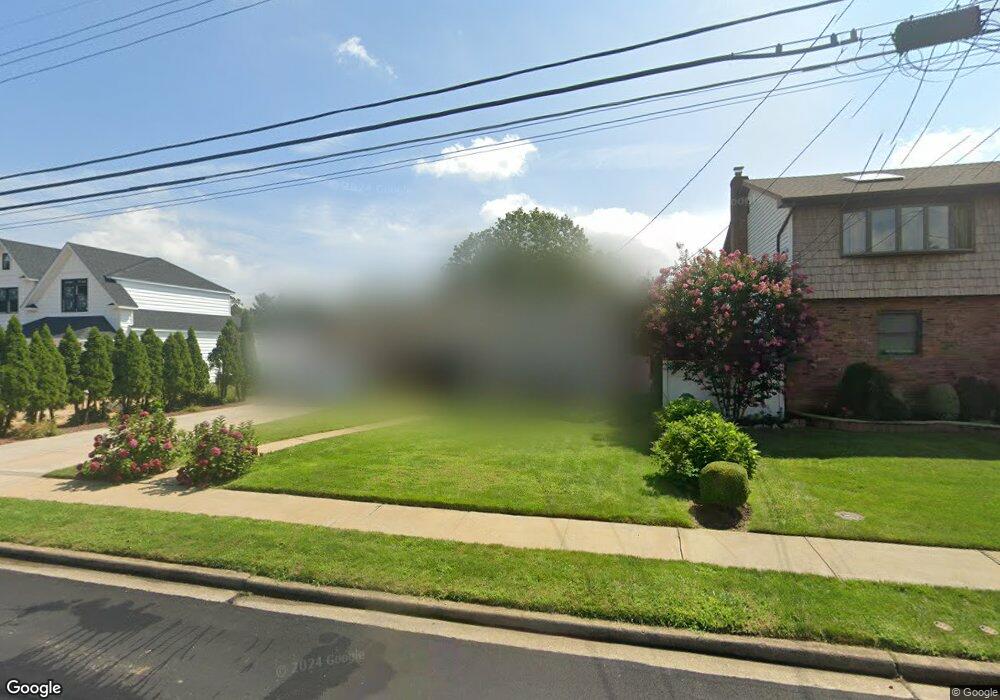
178 Commonwealth Ave Massapequa, NY 11758
Estimated Value: $734,392
--
Bed
2
Baths
1,248
Sq Ft
$588/Sq Ft
Est. Value
About This Home
This home is located at 178 Commonwealth Ave, Massapequa, NY 11758 and is currently estimated at $734,392, approximately $588 per square foot. 178 Commonwealth Ave is a home located in Nassau County with nearby schools including Massapequa High School - Ames Campus, Berner Middle School, and Massapequa High School.
Ownership History
Date
Name
Owned For
Owner Type
Purchase Details
Closed on
Mar 1, 2021
Sold by
Maltese Albert and Maltese Faryn
Bought by
Fernandez Victor and Aidiniou Christine
Current Estimated Value
Home Financials for this Owner
Home Financials are based on the most recent Mortgage that was taken out on this home.
Original Mortgage
$527,250
Interest Rate
3%
Mortgage Type
New Conventional
Purchase Details
Closed on
Jul 7, 2000
Sold by
Fradella Joseph and Fradella Ellen
Bought by
Repole Gerard and Repole Carol
Create a Home Valuation Report for This Property
The Home Valuation Report is an in-depth analysis detailing your home's value as well as a comparison with similar homes in the area
Home Values in the Area
Average Home Value in this Area
Purchase History
| Date | Buyer | Sale Price | Title Company |
|---|---|---|---|
| Fernandez Victor | $555,000 | None Available | |
| Repole Gerard | $287,500 | Jennette Espinoza |
Source: Public Records
Mortgage History
| Date | Status | Borrower | Loan Amount |
|---|---|---|---|
| Previous Owner | Fernandez Victor | $527,250 |
Source: Public Records
Tax History Compared to Growth
Tax History
| Year | Tax Paid | Tax Assessment Tax Assessment Total Assessment is a certain percentage of the fair market value that is determined by local assessors to be the total taxable value of land and additions on the property. | Land | Improvement |
|---|---|---|---|---|
| 2025 | $12,850 | $454 | $178 | $276 |
| 2024 | $4,325 | $503 | $198 | $305 |
| 2023 | $13,597 | $503 | $198 | $305 |
| 2022 | $13,597 | $503 | $198 | $305 |
| 2021 | $12,122 | $485 | $191 | $294 |
| 2020 | $11,811 | $705 | $643 | $62 |
| 2019 | $3,785 | $705 | $516 | $189 |
| 2018 | $7,305 | $878 | $0 | $0 |
| 2017 | $7,305 | $878 | $643 | $235 |
| 2016 | $11,575 | $878 | $643 | $235 |
| 2015 | $3,833 | $878 | $643 | $235 |
| 2014 | $3,833 | $878 | $643 | $235 |
| 2013 | $3,486 | $878 | $643 | $235 |
Source: Public Records
Map
Nearby Homes
- 136 Euclid Ave
- 227 Toronto Ave
- 128 Massachusetts Ave
- 126 Commonwealth Ave
- 262 New Hampshire Ave
- 714 Franklin Ave
- 203 N Manhattan Ave
- 121 Ontario Ave
- 102 Boston Ave
- 254 N Richmond Ave
- 101 Toronto Ave
- 1130 Lakeshore Dr
- 174 N Nassau Ave
- 95 Clark Ave
- 72 Koehl St
- 78 Lindbergh St
- 104 Clark Ave
- 73 Massachusetts Ave
- 70 Pittsburgh Ave
- 20 Boston Ave
- 176 Commonwealth Ave
- 181 Massachusetts Ave
- 177 Massachusetts Ave
- 186 Commonwealth Ave
- 175 Massachusetts Ave
- 179 Commonwealth Ave
- 172 Commonwealth Ave
- 183 Commonwealth Ave
- 185 Massachusetts Ave
- 185 Massachusetts Ave
- 168 Commonwealth Ave
- 173 Commonwealth Ave
- 187 Commonwealth Ave
- 171 Massachusetts Ave
- 180 Massachusetts Ave
- 650 Ocean Ave
- 176 Massachusetts Ave
- 180 Rhode Island Ave
- 178 Rhode Island Ave
- 171 Commonwealth Ave