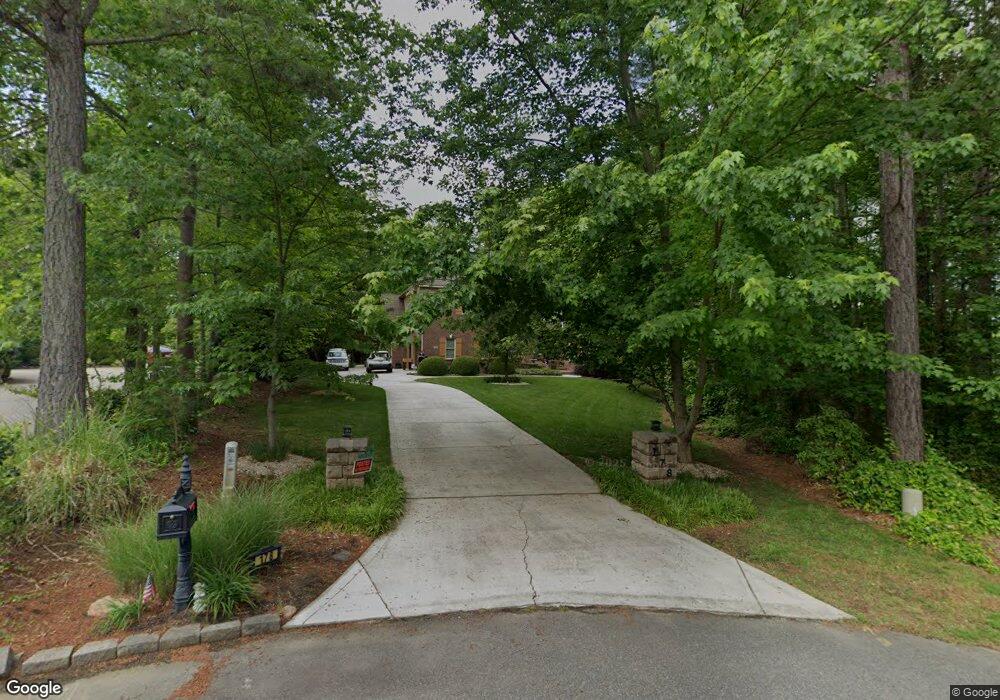
178 Crooked Branch Way Troutman, NC 28166
Estimated Value: $815,000 - $911,000
4
Beds
4
Baths
4,050
Sq Ft
$210/Sq Ft
Est. Value
About This Home
This home is located at 178 Crooked Branch Way, Troutman, NC 28166 and is currently estimated at $850,299, approximately $209 per square foot. 178 Crooked Branch Way is a home located in Iredell County with nearby schools including Troutman Elementary School, Troutman Middle School, and South Iredell High School.
Ownership History
Date
Name
Owned For
Owner Type
Purchase Details
Closed on
Jun 13, 2011
Sold by
Bot Viorel and Bot Lina
Bought by
Kobrin Edward and Kobrin Bonnie Ann
Current Estimated Value
Purchase Details
Closed on
Jul 27, 2010
Sold by
Crm Mid Atlantic Properties Llc
Bought by
Kobrin Edward and Kobrin Bonnie Ann
Purchase Details
Closed on
Jul 17, 2009
Sold by
Anaheim Homes Inc
Bought by
Crm Mid Atlantic Properties Llc
Purchase Details
Closed on
Jun 28, 2007
Sold by
Wild Hare Development Inc
Bought by
Anaheim Homes Inc
Create a Home Valuation Report for This Property
The Home Valuation Report is an in-depth analysis detailing your home's value as well as a comparison with similar homes in the area
Home Values in the Area
Average Home Value in this Area
Purchase History
| Date | Buyer | Sale Price | Title Company |
|---|---|---|---|
| Kobrin Edward | $12,500 | None Available | |
| Kobrin Edward | $260,000 | None Available | |
| Crm Mid Atlantic Properties Llc | $318,500 | None Available | |
| Anaheim Homes Inc | $125,000 | None Available |
Source: Public Records
Tax History Compared to Growth
Tax History
| Year | Tax Paid | Tax Assessment Tax Assessment Total Assessment is a certain percentage of the fair market value that is determined by local assessors to be the total taxable value of land and additions on the property. | Land | Improvement |
|---|---|---|---|---|
| 2025 | $2,881 | $720,180 | $40,000 | $680,180 |
| 2024 | $2,881 | $720,180 | $40,000 | $680,180 |
| 2023 | $4,381 | $720,180 | $40,000 | $680,180 |
| 2022 | $2,606 | $406,450 | $50,000 | $356,450 |
| 2021 | $2,606 | $406,450 | $50,000 | $356,450 |
| 2020 | $1,606 | $406,450 | $50,000 | $356,450 |
| 2019 | $2,505 | $406,450 | $50,000 | $356,450 |
| 2018 | $2,518 | $412,680 | $62,500 | $350,180 |
| 2017 | $2,518 | $412,680 | $62,500 | $350,180 |
| 2016 | $2,518 | $412,680 | $62,500 | $350,180 |
| 2015 | $2,518 | $412,680 | $62,500 | $350,180 |
| 2014 | $2,203 | $391,040 | $63,000 | $328,040 |
Source: Public Records
Map
Nearby Homes
- 110 Emmaline Ct
- 134 Millard Ln
- 110 Captains Way
- 124 Bentley Ct Unit 6
- 142 Rolling Meadows Dr
- 143 Rolling Meadows Dr
- Fontana Plan at Rolling Meadows
- Pinehurst II Plan at Rolling Meadows
- Roanoke Plan at Rolling Meadows
- Davidson Plan at Rolling Meadows
- Avenel II Plan at Rolling Meadows
- Lexington II Plan at Rolling Meadows
- Charleston Plan at Rolling Meadows
- 299 Hamptons Cove Rd
- 172 Tennessee Cir
- 552 Fern Hill Rd
- 510 Fern Hill Rd Unit 15
- 516 Fern Hill Rd
- 433 Lockhard Cir
- 000 Spring Oaks Dr
- 176 Crooked Branch Way
- 180 Crooked Branch Way
- 227 Shady Cove Rd
- 221 Shady Cove Rd
- 179 Crooked Branch Way
- 121 Winding Shore Rd
- 215 Shady Cove Rd
- 168 Crooked Branch Way Unit 45
- 168 Crooked Branch Way
- 168 Crooked Branch Way Unit 46
- Lot13 Winding Shore Rd Unit 13
- Lot 13 Winding Shore Rd Unit 13
- 211 Shady Cove Rd
- 177 Crooked Branch Way
- 127 Winding Shore Rd
- 127 Winding Shore Rd Unit 14
- 169 Crooked Branch Way
- 164 Crooked Branch Way
- 110 Winding Shore Rd
- 108 Winding Shore Rd