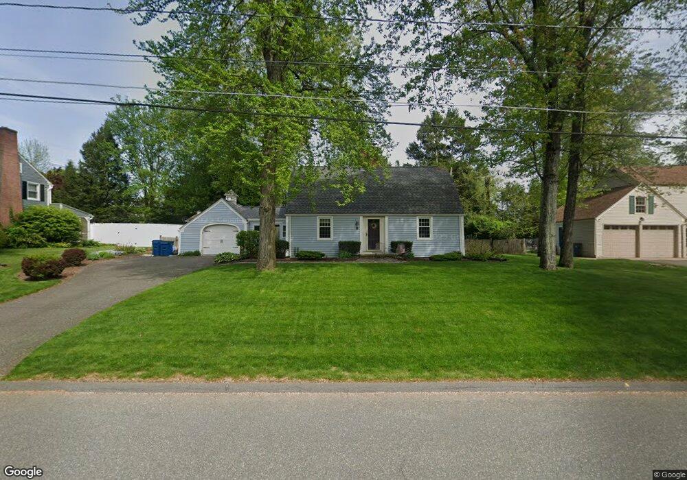
178 Falmouth Rd West Springfield, MA 01089
Estimated Value: $371,944 - $439,000
3
Beds
2
Baths
1,445
Sq Ft
$273/Sq Ft
Est. Value
About This Home
This home is located at 178 Falmouth Rd, West Springfield, MA 01089 and is currently estimated at $394,736, approximately $273 per square foot. 178 Falmouth Rd is a home located in Hampden County with nearby schools including St Thomas The Apostle School.
Ownership History
Date
Name
Owned For
Owner Type
Purchase Details
Closed on
Sep 1, 1998
Sold by
Smith Brian M and Guiel Carol A
Bought by
Fleury Richard A and Fleury Mary B
Current Estimated Value
Home Financials for this Owner
Home Financials are based on the most recent Mortgage that was taken out on this home.
Original Mortgage
$131,860
Outstanding Balance
$28,167
Interest Rate
6.9%
Mortgage Type
Purchase Money Mortgage
Estimated Equity
$366,569
Create a Home Valuation Report for This Property
The Home Valuation Report is an in-depth analysis detailing your home's value as well as a comparison with similar homes in the area
Home Values in the Area
Average Home Value in this Area
Purchase History
| Date | Buyer | Sale Price | Title Company |
|---|---|---|---|
| Fleury Richard A | $138,800 | -- |
Source: Public Records
Mortgage History
| Date | Status | Borrower | Loan Amount |
|---|---|---|---|
| Open | Fleury Richard A | $131,860 | |
| Previous Owner | Fleury Richard A | $50,000 | |
| Previous Owner | Fleury Richard A | $55,000 |
Source: Public Records
Tax History Compared to Growth
Tax History
| Year | Tax Paid | Tax Assessment Tax Assessment Total Assessment is a certain percentage of the fair market value that is determined by local assessors to be the total taxable value of land and additions on the property. | Land | Improvement |
|---|---|---|---|---|
| 2025 | $4,744 | $319,000 | $131,700 | $187,300 |
| 2024 | $4,517 | $305,000 | $131,700 | $173,300 |
| 2023 | $4,474 | $287,900 | $138,500 | $149,400 |
| 2022 | $4,093 | $259,700 | $125,700 | $134,000 |
| 2021 | $3,960 | $234,300 | $117,300 | $117,000 |
| 2020 | $3,955 | $232,800 | $117,300 | $115,500 |
| 2019 | $3,948 | $232,800 | $117,300 | $115,500 |
| 2018 | $3,969 | $232,800 | $117,300 | $115,500 |
| 2017 | $3,969 | $232,800 | $117,300 | $115,500 |
| 2016 | $3,916 | $230,500 | $112,700 | $117,800 |
| 2015 | $3,840 | $226,000 | $110,500 | $115,500 |
| 2014 | $932 | $226,000 | $110,500 | $115,500 |
Source: Public Records
Map
Nearby Homes
- 260 Wolcott Ave
- 180 Wolcott Ave
- 32 Lotus Ave
- 139 Upper Beverly Hills
- 514 Dewey St
- 16 North St
- 31 Stone Path Ln
- 283 Forest Glen
- 148 Craiwell Ave
- 65 Verdugo St
- 43 Wishing Well Way
- 43 Houston Rd
- 258 Poplar Ave
- 142 Morton St
- 19 Cora St
- 61 Clarence St
- 42 Janet St
- 34 High Meadow Dr
- 416 Hillcrest Ave
- 17 Laurence Dr
- 168 Falmouth Rd
- 188 Falmouth Rd
- 265 Greystone Ave
- 245 Greystone Ave
- 183 Falmouth Rd
- 171 Falmouth Rd
- 198 Falmouth Rd
- 195 Falmouth Rd
- 163 Falmouth Rd
- 293 Greystone Ave
- 148 Falmouth Rd
- 231 Greystone Ave
- 151 Falmouth Rd
- 264 Greystone Ave
- 254 Greystone Ave
- 214 Falmouth Rd
- 210 Falmouth Rd
- 276 Greystone Ave
- 278 Ohio Ave
- 217 Falmouth Rd