178 Glenroth Dr Camdenton, MI 65020
Estimated Value: $318,000 - $600,000
3
Beds
2
Baths
1,400
Sq Ft
$291/Sq Ft
Est. Value
About This Home
This home is located at 178 Glenroth Dr, Camdenton, MI 65020 and is currently estimated at $407,944, approximately $291 per square foot. 178 Glenroth Dr is a home located in Camden County with nearby schools including Camdenton High School and Lake West Christian Academy.
Ownership History
Date
Name
Owned For
Owner Type
Purchase Details
Closed on
Jul 25, 2025
Sold by
Woods Katie and Woods Clint
Bought by
Woods Clint
Current Estimated Value
Home Financials for this Owner
Home Financials are based on the most recent Mortgage that was taken out on this home.
Original Mortgage
$175,000
Outstanding Balance
$174,699
Interest Rate
6.77%
Mortgage Type
Credit Line Revolving
Estimated Equity
$233,245
Purchase Details
Closed on
Oct 26, 2011
Bought by
Vega Daniel R
Create a Home Valuation Report for This Property
The Home Valuation Report is an in-depth analysis detailing your home's value as well as a comparison with similar homes in the area
Home Values in the Area
Average Home Value in this Area
Purchase History
| Date | Buyer | Sale Price | Title Company |
|---|---|---|---|
| Woods Clint | -- | Integrity Title Solutions | |
| Vega Daniel R | -- | -- |
Source: Public Records
Mortgage History
| Date | Status | Borrower | Loan Amount |
|---|---|---|---|
| Open | Woods Clint | $175,000 | |
| Closed | Woods Clint | $175,000 |
Source: Public Records
Tax History Compared to Growth
Tax History
| Year | Tax Paid | Tax Assessment Tax Assessment Total Assessment is a certain percentage of the fair market value that is determined by local assessors to be the total taxable value of land and additions on the property. | Land | Improvement |
|---|---|---|---|---|
| 2024 | $1,087 | $24,190 | $0 | $0 |
| 2023 | $1,086 | $24,190 | $0 | $0 |
| 2022 | $1,066 | $24,190 | $0 | $0 |
| 2021 | $989 | $24,190 | $0 | $0 |
| 2020 | $996 | $24,190 | $0 | $0 |
| 2019 | $995 | $24,190 | $0 | $0 |
| 2018 | $997 | $24,190 | $0 | $0 |
| 2017 | $995 | $24,190 | $0 | $0 |
| 2016 | $912 | $24,190 | $0 | $0 |
| 2015 | $901 | $22,680 | $0 | $0 |
| 2014 | $913 | $22,680 | $0 | $0 |
| 2013 | -- | $22,680 | $0 | $0 |
Source: Public Records
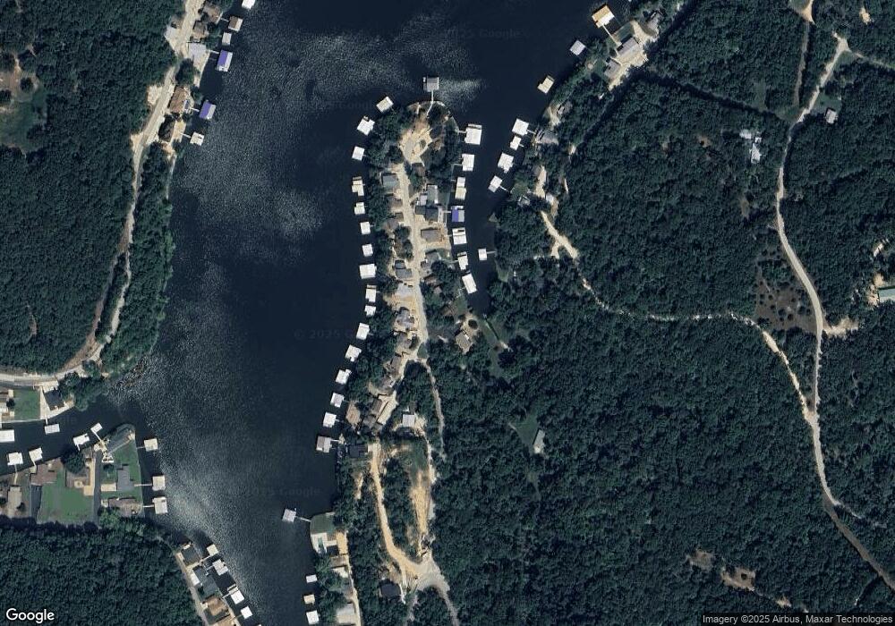
Map
Nearby Homes
- Lot 4 Anchor Bend Dr
- 0 Mistwood Bluff Rd Lot 6 and Lot 6a
- TBD Sellers & Mistwood Bluff Rd
- 0
- 786 Pershing Dr Unit 1A
- 553 Wading Bird Rd
- 700 Pershing Dr Unit 202
- 700 Pershing Dr Unit 306
- 700 Pershing Dr Unit 201
- 700 Pershing Dr Unit 107
- 0 Wading Bird Rd Unit 3581312
- 36 Gar Cir
- 895 Summer Place Dr Unit 3A
- 0 Bluffview Dr Unit 3581318
- 0 Bluffview Dr Unit 3581316
- 849 Summer Place Dr Unit 2B
- 22 Summer Place Dr Unit 2B
- 52 Summer Place Ct Unit 3-B
- 52 Summer Place Ct Unit 4B
- 202 Crappie Ln
- 178 Glenroth Dr
- 192 Glenroth Dr
- 160 Glenroth Dr
- 167 Glenroth Dr
- 210 Glenroth Dr
- 9 Anna Maria Dr
- 203 Glenroth Dr
- 25 Anna Maria Dr
- 228 Glenroth Dr
- 228 Glenroth Dr
- 219 Glenroth Dr
- 45 Anna Maria Dr
- 244 Glenroth Dr
- 233 Glenroth Dr
- 21 Thong Tree Ln
- 260 Glenroth Dr
- 57 Anna Maria Dr
- 251 Glenroth Dr
- 260 Glenroth Dr