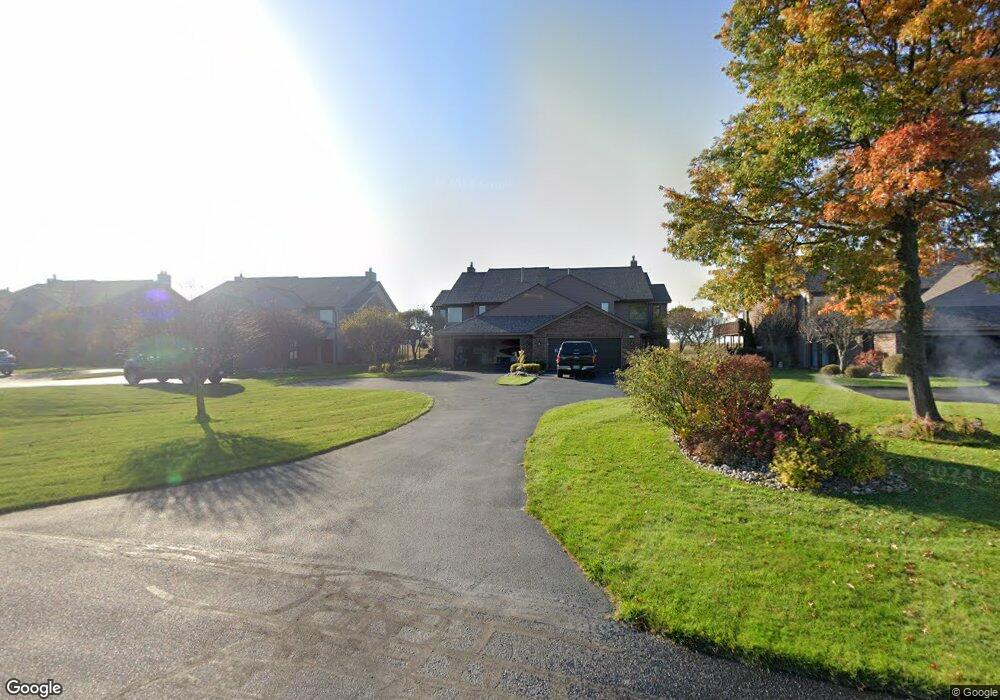
178 Harbor Dr Ludington, MI 49431
Estimated Value: $584,000 - $771,000
4
Beds
2
Baths
2,686
Sq Ft
$237/Sq Ft
Est. Value
About This Home
This home is located at 178 Harbor Dr, Ludington, MI 49431 and is currently estimated at $636,971, approximately $237 per square foot. 178 Harbor Dr is a home located in Mason County with nearby schools including Ludington Elementary School, Lakeview Elementary School, and O.J. DeJonge Middle School.
Ownership History
Date
Name
Owned For
Owner Type
Purchase Details
Closed on
Jul 15, 2014
Sold by
Reed L Todd and Reed Deborah
Bought by
Li Lynn C Weaver and Li Judith Britton Weaver
Current Estimated Value
Home Financials for this Owner
Home Financials are based on the most recent Mortgage that was taken out on this home.
Original Mortgage
$200,000
Outstanding Balance
$63,577
Interest Rate
4.19%
Estimated Equity
$573,394
Purchase Details
Closed on
Aug 4, 2000
Sold by
Proos Gary K and Proos Mary L
Bought by
Reed Todd and Reed Deborah
Purchase Details
Closed on
Sep 1, 1995
Create a Home Valuation Report for This Property
The Home Valuation Report is an in-depth analysis detailing your home's value as well as a comparison with similar homes in the area
Home Values in the Area
Average Home Value in this Area
Purchase History
| Date | Buyer | Sale Price | Title Company |
|---|---|---|---|
| Li Lynn C Weaver | -- | Lighthouse Title Inc | |
| Reed Todd | $488,000 | -- | |
| -- | $286,200 | -- |
Source: Public Records
Mortgage History
| Date | Status | Borrower | Loan Amount |
|---|---|---|---|
| Open | Li Lynn C Weaver | $200,000 |
Source: Public Records
Tax History Compared to Growth
Tax History
| Year | Tax Paid | Tax Assessment Tax Assessment Total Assessment is a certain percentage of the fair market value that is determined by local assessors to be the total taxable value of land and additions on the property. | Land | Improvement |
|---|---|---|---|---|
| 2025 | $9,109 | $312,000 | $312,000 | $0 |
| 2024 | -- | $303,700 | $303,700 | $0 |
| 2023 | -- | $273,500 | $273,500 | $0 |
| 2022 | -- | $228,500 | $0 | $0 |
| 2021 | -- | $249,700 | $0 | $0 |
| 2020 | -- | -- | $0 | $0 |
| 2019 | -- | -- | $0 | $0 |
| 2018 | -- | -- | $0 | $0 |
| 2017 | -- | -- | $0 | $0 |
| 2016 | -- | -- | $0 | $0 |
| 2015 | -- | -- | $0 | $0 |
| 2013 | -- | -- | $0 | $0 |
Source: Public Records
Map
Nearby Homes
- Waterfront S Lakeshore Dr
- 0 S Lakeshore Dr Unit 26 25024445
- 0 S Lakeshore Dr Unit 25019896
- 805 W Loomis St
- 806 W Loomis St
- 706 W Loomis St
- 502 W Loomis St Unit Lot 11, Bk 49
- 502 W Loomis St Unit Lot 10, Bk 49
- 502 W Loomis St Unit Lot 9, Bk 49
- 502 W Loomis St Unit Lot 12, Bk 49
- 710 W Ludington Ave
- 109 W Melendy St
- 106 W Danaher St
- 413 S Rath Ave Unit Site 2
- 3843 Highway 10 NW
- 105 W Danaher St Unit 309
- 105 W Danaher St Unit 201
- 105 W Danaher St Unit 401
- 300 S Rath Ave Unit 23
- 302 S James St
- 176 Harbor Dr
- 180 Harbor Dr
- 180 Harbor Dr Unit 57
- 182 Harbor Dr
- 174 Harbor Dr
- 174 Harbor Dr Unit 54
- 172 Harbor Dr
- 184 Harbor Dr
- 184 Harbor Dr Unit 59
- 186 Harbor Dr
- 186 Harbor Dr Unit 60
- 239 Harbor Dr
- 188 Harbor Dr Unit 61
- 170 Harbor Dr
- 190 Harbor Dr
- 168 Harbor Dr
- 237 Harbor Dr
- 192 Harbor Dr Unit 63
- 166 Harbor Dr
- 212 Harbor Dr