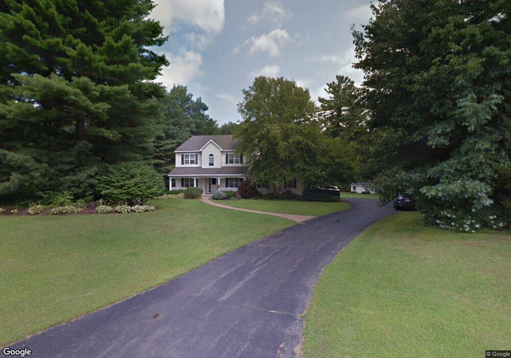
178 Hudson Pointe Blvd Queensbury, NY 12804
Estimated Value: $652,450 - $735,000
5
Beds
4
Baths
2,939
Sq Ft
$235/Sq Ft
Est. Value
About This Home
This home is located at 178 Hudson Pointe Blvd, Queensbury, NY 12804 and is currently estimated at $689,863, approximately $234 per square foot. 178 Hudson Pointe Blvd is a home located in Warren County with nearby schools including Queensbury Elementary School, William H. Barton Intermediate School, and Queensbury Middle School.
Ownership History
Date
Name
Owned For
Owner Type
Purchase Details
Closed on
Dec 13, 2010
Sold by
Brassel Marjorie
Bought by
Mathewson George
Current Estimated Value
Purchase Details
Closed on
Sep 22, 2010
Sold by
Brassel Trust Marjorie
Bought by
Brassel Michael
Purchase Details
Closed on
Oct 24, 2006
Sold by
Brassel Marjorie
Bought by
Brassel Marjorie
Purchase Details
Closed on
Jul 20, 1999
Sold by
Michaels Group Llc
Bought by
Brassel Marjorie L
Create a Home Valuation Report for This Property
The Home Valuation Report is an in-depth analysis detailing your home's value as well as a comparison with similar homes in the area
Home Values in the Area
Average Home Value in this Area
Purchase History
| Date | Buyer | Sale Price | Title Company |
|---|---|---|---|
| Mathewson George | $385,000 | Lynne Ackner | |
| Brassel Michael | -- | John Fitzgerald | |
| Brassel Marjorie | -- | John Fitzgerald | |
| Brassel Marjorie L | $209,094 | -- | |
| Michaels Group Llc | $43,000 | -- |
Source: Public Records
Tax History Compared to Growth
Tax History
| Year | Tax Paid | Tax Assessment Tax Assessment Total Assessment is a certain percentage of the fair market value that is determined by local assessors to be the total taxable value of land and additions on the property. | Land | Improvement |
|---|---|---|---|---|
| 2024 | $11,154 | $552,000 | $67,000 | $485,000 |
| 2023 | $10,119 | $436,400 | $66,800 | $369,600 |
| 2022 | $9,696 | $436,400 | $66,800 | $369,600 |
| 2021 | $9,563 | $436,400 | $66,800 | $369,600 |
| 2020 | $2,654 | $421,800 | $66,800 | $355,000 |
| 2019 | $6,724 | $421,800 | $66,800 | $355,000 |
| 2018 | $9,276 | $421,800 | $66,800 | $355,000 |
| 2017 | $8,913 | $402,400 | $66,800 | $335,600 |
| 2016 | $8,785 | $402,400 | $66,800 | $335,600 |
| 2015 | -- | $384,300 | $66,800 | $317,500 |
| 2014 | -- | $285,300 | $35,900 | $249,400 |
Source: Public Records
Map
Nearby Homes
- 15 Hyde Ct
- 10 Mockingbird Ln
- 7 Mockingbird Ln
- 4 Mockingbird Ln
- 23 Revere Rd
- 2 Founders Way
- 129 Pitcher Rd
- 377 Corinth Rd
- 43 N Church Ln
- 151 W Mountain Rd
- 4 Joseph Ct
- 251 Big Bay Rd
- 37 Stephanie Ln
- 455 Luzerne Rd
- 50 Nicole Dr
- 195 Big Boom Rd
- L43.2 Big Boom Rd
- 19 Indiana Ave
- 54 Michigan Ave
- 47 Herald Dr
- 172 Hudson Pointe Blvd
- 186 Hudson Pointe Blvd
- 25 Hyde Ct
- 21 Hyde Ct
- 162 Hudson Pointe Blvd
- 192 Hudson Pointe Blvd
- 27 Hyde Ct
- 11 Hyde Ct
- 5 Hyde Ct
- 152 Hudson Pointe Blvd
- 196 Hudson Pointe Blvd
- 163 Hudson Pointe Blvd
- 28 Hyde Ct
- 7 Hyde Ct
- 24 Hyde Ct
- 142 Hudson Pointe Blvd
- 18 Hyde Ct
- 26 Hyde Ct
- 114 Hudson Pointe Blvd
- 202 Hudson Pointe Blvd