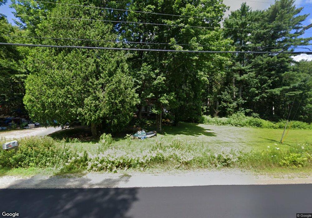
178 Main Rd Westport Island, ME 04578
Estimated Value: $1,165,000 - $1,282,000
5
Beds
4
Baths
3,346
Sq Ft
$370/Sq Ft
Est. Value
About This Home
This home is located at 178 Main Rd, Westport Island, ME 04578 and is currently estimated at $1,238,553, approximately $370 per square foot. 178 Main Rd is a home located in Lincoln County.
Ownership History
Date
Name
Owned For
Owner Type
Purchase Details
Closed on
Mar 11, 2016
Sold by
Hodgdon Lester W Jr Est and Gregory
Bought by
Hodgdon Beverly J and Harrison Dwight A
Current Estimated Value
Home Financials for this Owner
Home Financials are based on the most recent Mortgage that was taken out on this home.
Original Mortgage
$285,000
Outstanding Balance
$234,058
Interest Rate
5%
Mortgage Type
Commercial
Estimated Equity
$1,004,495
Create a Home Valuation Report for This Property
The Home Valuation Report is an in-depth analysis detailing your home's value as well as a comparison with similar homes in the area
Home Values in the Area
Average Home Value in this Area
Purchase History
| Date | Buyer | Sale Price | Title Company |
|---|---|---|---|
| Hodgdon Beverly J | -- | -- | |
| Hodgdon Beverly J | -- | -- | |
| Hodgdon Beverly J | -- | -- |
Source: Public Records
Mortgage History
| Date | Status | Borrower | Loan Amount |
|---|---|---|---|
| Open | Hodgdon Beverly J | $285,000 | |
| Closed | Hodgdon Beverly J | $285,000 |
Source: Public Records
Tax History Compared to Growth
Tax History
| Year | Tax Paid | Tax Assessment Tax Assessment Total Assessment is a certain percentage of the fair market value that is determined by local assessors to be the total taxable value of land and additions on the property. | Land | Improvement |
|---|---|---|---|---|
| 2024 | $4,155 | $561,527 | $444,458 | $117,069 |
| 2023 | $3,373 | $514,956 | $397,887 | $117,069 |
| 2022 | $3,503 | $422,095 | $326,137 | $95,958 |
| 2021 | $3,335 | $422,095 | $326,137 | $95,958 |
| 2020 | $3,419 | $422,095 | $326,137 | $95,958 |
| 2019 | $3,159 | $422,939 | $326,137 | $96,802 |
| 2018 | $2,791 | $422,939 | $326,137 | $96,802 |
| 2016 | $3,032 | $421,099 | $326,137 | $94,962 |
| 2014 | $3,418 | $455,082 | $0 | $0 |
| 2013 | $3,527 | $455,082 | $330,498 | $124,584 |
Source: Public Records
Map
Nearby Homes
- 27 Doggett Rd
- 17 Lester Rd
- 91 Lord Rd
- 285 Birch Point Rd Unit 11
- 2 Ready Point Rd
- 30 Taylor Rd
- 15 Lewis Dr
- 50 Bunchberry Ln
- 34 Bunchberry Ln
- 13 Porcupine Ln
- 00 Maine 27
- 18 High Head Rd
- 29 Mill Rd
- 664 Boothbay Rd
- 52 Eddy Rd
- 114 Fort Rd
- 67 Village Way Unit 505
- 19 Riverside Ave
- 304 Eddy Rd Unit 216
- 40 Old Bath Rd
