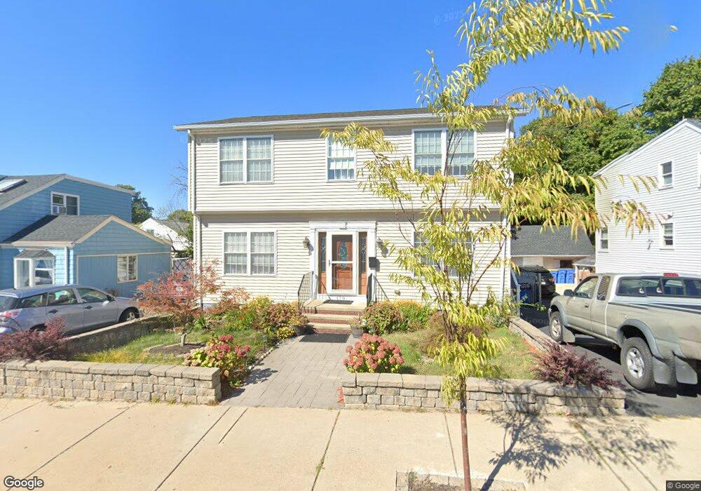
178 Main St Winthrop, MA 02152
Downtown Winthrop NeighborhoodEstimated Value: $747,000 - $792,000
3
Beds
3
Baths
1,706
Sq Ft
$451/Sq Ft
Est. Value
About This Home
This home is located at 178 Main St, Winthrop, MA 02152 and is currently estimated at $768,588, approximately $450 per square foot. 178 Main St is a home located in Suffolk County with nearby schools including William P. Gorman/Fort Banks Elementary School, Arthur T. Cummings Elementary School, and Winthrop Middle School.
Ownership History
Date
Name
Owned For
Owner Type
Purchase Details
Closed on
Jan 23, 2006
Sold by
Main St Rt 178 and Ferrara Frank A
Bought by
Bedoya Libia E and Ascoli Tino
Current Estimated Value
Home Financials for this Owner
Home Financials are based on the most recent Mortgage that was taken out on this home.
Original Mortgage
$310,000
Outstanding Balance
$174,862
Interest Rate
6.33%
Mortgage Type
Purchase Money Mortgage
Estimated Equity
$593,726
Purchase Details
Closed on
Mar 9, 2005
Sold by
Beaupre Richard L and Beaupre Ronald E
Bought by
Main St Rt 178 and Ferrara Frank
Create a Home Valuation Report for This Property
The Home Valuation Report is an in-depth analysis detailing your home's value as well as a comparison with similar homes in the area
Home Values in the Area
Average Home Value in this Area
Purchase History
| Date | Buyer | Sale Price | Title Company |
|---|---|---|---|
| Bedoya Libia E | $420,000 | -- | |
| Main St Rt 178 | $135,500 | -- |
Source: Public Records
Mortgage History
| Date | Status | Borrower | Loan Amount |
|---|---|---|---|
| Open | Bedoya Libia E | $310,000 |
Source: Public Records
Tax History
| Year | Tax Paid | Tax Assessment Tax Assessment Total Assessment is a certain percentage of the fair market value that is determined by local assessors to be the total taxable value of land and additions on the property. | Land | Improvement |
|---|---|---|---|---|
| 2025 | $6,700 | $649,200 | $314,300 | $334,900 |
| 2024 | $6,499 | $623,700 | $302,100 | $321,600 |
| 2023 | $6,230 | $582,200 | $276,500 | $305,700 |
| 2022 | $5,965 | $507,200 | $247,000 | $260,200 |
| 2021 | $5,970 | $470,800 | $220,500 | $250,300 |
| 2020 | $5,941 | $470,800 | $220,500 | $250,300 |
| 2019 | $5,884 | $446,400 | $203,200 | $243,200 |
| 2018 | $5,701 | $402,600 | $174,500 | $228,100 |
| 2017 | $5,363 | $372,200 | $157,800 | $214,400 |
| 2016 | $5,221 | $339,700 | $134,300 | $205,400 |
| 2015 | $4,738 | $330,400 | $130,400 | $200,000 |
| 2014 | $5,015 | $321,900 | $116,100 | $205,800 |
Source: Public Records
Map
Nearby Homes
- 50-52 Wilshire St
- 14 Pleasant Park Rd
- 426 Winthrop St
- 56 Main St
- 441 Winthrop St
- 550 Pleasant St Unit 506
- 100 Governors Dr Unit 118
- 800 Governors Dr Unit 6
- 35 Somerset Ave Unit 6
- 10 Somerset Ave Unit 403
- 10 Somerset Ave Unit 404
- 10 Somerset Ave Unit 401
- 10 Somerset Ave Unit 207
- 10 Somerset Ave Unit 304
- 10 Somerset Ave Unit 408
- 10 Somerset Ave Unit 201
- 10 Somerset Ave Unit 405
- 10 Somerset Ave Unit 308
- 10 Somerset Ave Unit 211
- 10 Somerset Ave Unit 206
Your Personal Tour Guide
Ask me questions while you tour the home.