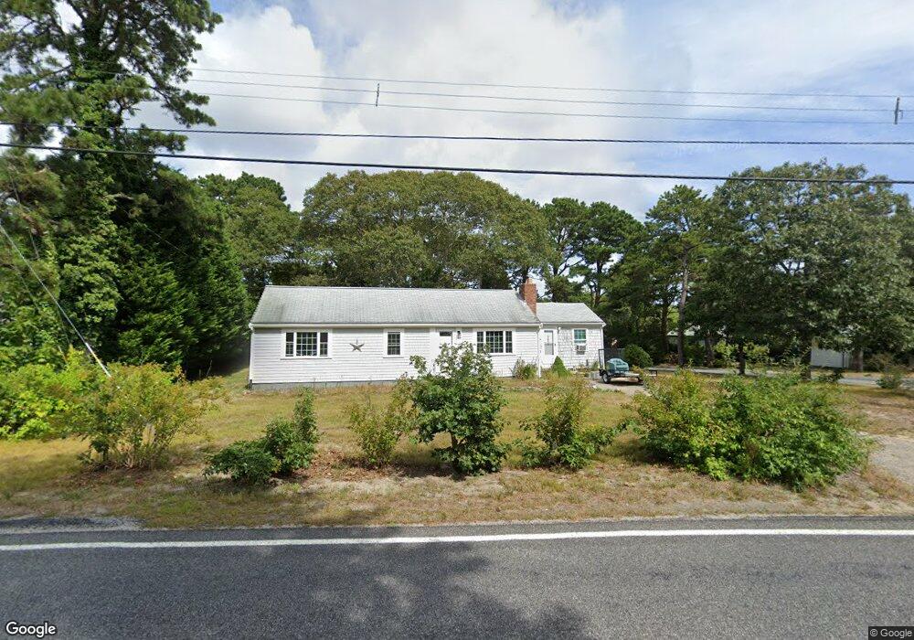
178 Mayfair Rd South Dennis, MA 02660
South Dennis NeighborhoodEstimated Value: $585,546 - $625,000
3
Beds
1
Bath
1,201
Sq Ft
$505/Sq Ft
Est. Value
About This Home
This home is located at 178 Mayfair Rd, South Dennis, MA 02660 and is currently estimated at $606,387, approximately $504 per square foot. 178 Mayfair Rd is a home located in Barnstable County with nearby schools including Dennis-Yarmouth Regional High School and St. Pius X. School.
Ownership History
Date
Name
Owned For
Owner Type
Purchase Details
Closed on
May 16, 1997
Sold by
Olson John E
Bought by
Arado Christopher L and Thompson Tracy L
Current Estimated Value
Home Financials for this Owner
Home Financials are based on the most recent Mortgage that was taken out on this home.
Original Mortgage
$50,400
Interest Rate
8.12%
Mortgage Type
Purchase Money Mortgage
Purchase Details
Closed on
May 20, 1996
Sold by
Syrjala Jon O and Syrjala Joan E
Bought by
Olson John E
Home Financials for this Owner
Home Financials are based on the most recent Mortgage that was taken out on this home.
Original Mortgage
$45,900
Interest Rate
7.77%
Mortgage Type
Purchase Money Mortgage
Purchase Details
Closed on
Nov 19, 1993
Sold by
Fnma
Bought by
Syrajala Jon O and Syrjala Joan E
Purchase Details
Closed on
Sep 3, 1993
Sold by
Sullivan Stephen J
Bought by
Citicorp Mtg Inc
Create a Home Valuation Report for This Property
The Home Valuation Report is an in-depth analysis detailing your home's value as well as a comparison with similar homes in the area
Home Values in the Area
Average Home Value in this Area
Purchase History
| Date | Buyer | Sale Price | Title Company |
|---|---|---|---|
| Arado Christopher L | $56,000 | -- | |
| Olson John E | $51,000 | -- | |
| Syrajala Jon O | $76,000 | -- | |
| Citicorp Mtg Inc | $119,200 | -- |
Source: Public Records
Mortgage History
| Date | Status | Borrower | Loan Amount |
|---|---|---|---|
| Open | Citicorp Mtg Inc | $50,400 | |
| Closed | Citicorp Mtg Inc | $15,000 | |
| Closed | Citicorp Mtg Inc | $50,400 | |
| Previous Owner | Citicorp Mtg Inc | $45,900 |
Source: Public Records
Tax History Compared to Growth
Tax History
| Year | Tax Paid | Tax Assessment Tax Assessment Total Assessment is a certain percentage of the fair market value that is determined by local assessors to be the total taxable value of land and additions on the property. | Land | Improvement |
|---|---|---|---|---|
| 2025 | $2,209 | $510,100 | $150,100 | $360,000 |
| 2024 | $2,090 | $476,000 | $144,300 | $331,700 |
| 2023 | $2,021 | $432,800 | $131,200 | $301,600 |
| 2022 | $1,968 | $351,400 | $131,300 | $220,100 |
| 2021 | $1,884 | $312,400 | $128,800 | $183,600 |
| 2020 | $1,802 | $295,400 | $128,800 | $166,600 |
| 2019 | $1,639 | $265,700 | $138,900 | $126,800 |
| 2018 | $1,483 | $233,900 | $120,200 | $113,700 |
| 2017 | $1,416 | $230,200 | $120,200 | $110,000 |
| 2016 | $1,326 | $203,100 | $126,200 | $76,900 |
| 2015 | $1,300 | $203,100 | $126,200 | $76,900 |
| 2014 | $1,396 | $219,800 | $108,200 | $111,600 |
Source: Public Records
Map
Nearby Homes
- 17 Margate Ln
- 153 Bayridge Dr
- 15 Captain Jud Rd
- 10 Joanne Dr
- 4 Ebb Rd
- 17 Fairmount Rd
- 17 Fairmount Rd
- 7 Vinland Dr
- 25 Skerry Rd
- 1 Norseman Dr
- 118 Driftwood Ln
- 129 Driftwood Ln
- 62 Old Fish House Rd
- 6 Hawthorn St
- 13 Covey Dr
- 111 Merchant Ave
- 4 Old Colony Way
- 32 Captain Walsh Dr
- 85 Keel Cape Dr
- 6 Nimble Hill Dr