Estimated Value: $266,000 - $431,173
3
Beds
2
Baths
1,360
Sq Ft
$264/Sq Ft
Est. Value
About This Home
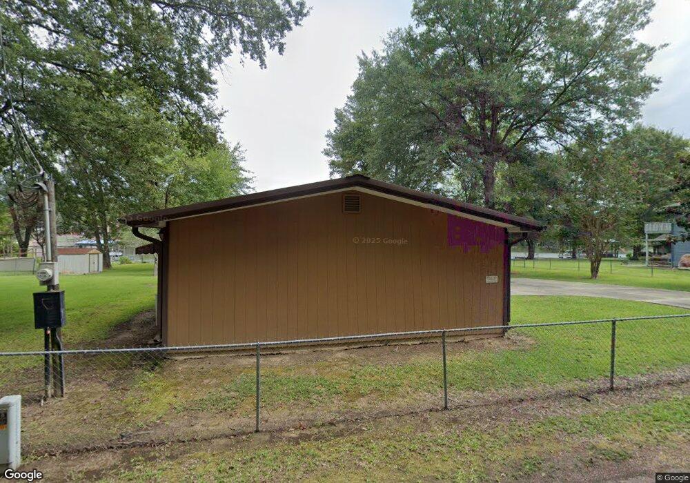
This home is located at 178 Muskogee Rd, Royal, AR 71968 and is currently estimated at $358,543, approximately $263 per square foot. 178 Muskogee Rd is a home located in Garland County with nearby schools including Lake Hamilton Primary School, Lake Hamilton Interm. School, and Lake Hamilton Elementary School.
Ownership History
Date
Name
Owned For
Owner Type
Purchase Details
Closed on
Jun 28, 2023
Sold by
Rex M Easter Jr Trust
Bought by
Easter Rex M
Current Estimated Value
Purchase Details
Closed on
Jan 19, 2000
Sold by
Provided Not
Bought by
Easter Rex M and Easter Lynda M
Purchase Details
Closed on
Apr 4, 1997
Sold by
Provided Not
Bought by
Blazer William and Blazer Margaret
Purchase Details
Closed on
Jan 1, 1901
Create a Home Valuation Report for This Property
The Home Valuation Report is an in-depth analysis detailing your home's value as well as a comparison with similar homes in the area
Home Values in the Area
Average Home Value in this Area
Purchase History
| Date | Buyer | Sale Price | Title Company |
|---|---|---|---|
| Easter Rex M | -- | None Listed On Document | |
| Easter Rex M | $127,000 | -- | |
| Blazer William | $73,000 | -- | |
| -- | -- | -- |
Source: Public Records
Tax History Compared to Growth
Tax History
| Year | Tax Paid | Tax Assessment Tax Assessment Total Assessment is a certain percentage of the fair market value that is determined by local assessors to be the total taxable value of land and additions on the property. | Land | Improvement |
|---|---|---|---|---|
| 2025 | $2,990 | $76,800 | $39,380 | $37,420 |
| 2024 | $2,739 | $76,800 | $39,380 | $37,420 |
| 2023 | $2,528 | $76,800 | $39,380 | $37,420 |
| 2022 | $2,387 | $76,800 | $39,380 | $37,420 |
| 2021 | $2,196 | $48,100 | $29,550 | $18,550 |
| 2020 | $2,196 | $48,100 | $29,550 | $18,550 |
| 2019 | $2,126 | $48,100 | $29,550 | $18,550 |
| 2018 | $2,023 | $48,100 | $29,550 | $18,550 |
| 2017 | $1,855 | $48,100 | $29,550 | $18,550 |
| 2016 | $1,605 | $36,320 | $20,700 | $15,620 |
| 2015 | $1,605 | $36,320 | $20,700 | $15,620 |
| 2014 | $1,532 | $34,667 | $19,047 | $15,620 |
Source: Public Records
Map
Nearby Homes
- 152 Muskogee Rd
- 118 Muskogee Rd
- 168 Golden Oak Place
- Lots 35 & 36 Maricopa Dr
- 0 Algonkin Dr
- 136 Shady Oak Trail
- 156 Shady Oak Trail
- 111 Black Oak Ct
- 179 River Mill Ct Unit B2
- 179 River Mill Ct Unit D1
- 179 River Mill Ct Unit C1
- 179 River Mill C-1 Ct
- 179 River Mill D-1 Ct
- 179 River Mill B-2 Ct
- 0 River Mill Ct Unit 25041085
- 183 River Mill Ct Unit B-1
- 183 River Mill Ct Unit B-2
- 183 River Mill Ct
- 105 Tall Oaks St
- 165 Tobacco Rd
- 000 Muskogee Rd
- 172 Muskogee Rd
- 186 Muskogee Rd
- 168 Muskogee Rd
- 164 Muskogee Rd
- . Muskogee Unit LAKE TAHOE ESTATES
- 158 Muskogee Rd
- 140 Iroquois Rd
- 206 Muskogee Rd
- 0 Muskogee Rd
- 148 Muskogee Rd
- 158 Iroquois Rd
- 214 Muskogee Rd
- 115 Checota Dr
- 161 Iroquois Rd
- 126 Travois St
- 140 Muskogee Rd
- 222 Muskogee Rd
- 136 Muskogee Rd
- 234 Muskogee Rd