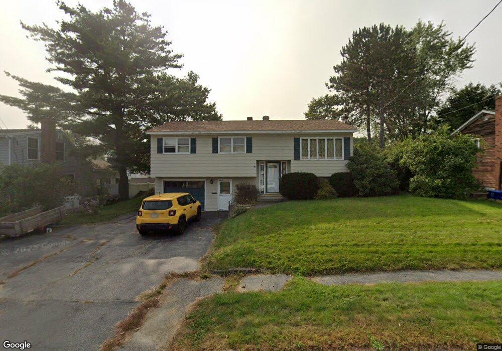
178 Myrtle St Westbrook, ME 04092
Estimated Value: $422,000 - $452,000
3
Beds
1
Bath
1,389
Sq Ft
$314/Sq Ft
Est. Value
About This Home
This home is located at 178 Myrtle St, Westbrook, ME 04092 and is currently estimated at $435,694, approximately $313 per square foot. 178 Myrtle St is a home located in Cumberland County with nearby schools including Westbrook High School, Breakwater School, and The Little Dolphin School Foundation.
Ownership History
Date
Name
Owned For
Owner Type
Purchase Details
Closed on
Feb 14, 2012
Sold by
Caron Ruth A Est and Caron Mark
Bought by
Caron David J
Current Estimated Value
Home Financials for this Owner
Home Financials are based on the most recent Mortgage that was taken out on this home.
Original Mortgage
$116,000
Interest Rate
3.96%
Mortgage Type
New Conventional
Create a Home Valuation Report for This Property
The Home Valuation Report is an in-depth analysis detailing your home's value as well as a comparison with similar homes in the area
Home Values in the Area
Average Home Value in this Area
Purchase History
We collect this data history from publicly available records. To have your information removed, we recommend requesting removal directly through your county’s website.
| Date | Buyer | Sale Price | Title Company |
|---|---|---|---|
| Caron David J | -- | -- |
Source: Public Records
Mortgage History
We collect this data history from publicly available records. To have your information removed, we recommend requesting removal directly through your county’s website.
| Date | Status | Borrower | Loan Amount |
|---|---|---|---|
| Closed | Caron David J | $116,000 |
Source: Public Records
Tax History
| Year | Tax Paid | Tax Assessment Tax Assessment Total Assessment is a certain percentage of the fair market value that is determined by local assessors to be the total taxable value of land and additions on the property. | Land | Improvement |
|---|---|---|---|---|
| 2023 | $3,835 | $229,900 | $81,600 | $148,300 |
| 2022 | $3,468 | $191,600 | $68,000 | $123,600 |
| 2021 | $3,416 | $191,600 | $68,000 | $123,600 |
| 2020 | $3,422 | $191,600 | $68,000 | $123,600 |
| 2019 | $3,422 | $191,600 | $68,000 | $123,600 |
| 2018 | $3,158 | $158,300 | $59,200 | $99,100 |
| 2017 | $2,989 | $158,300 | $59,200 | $99,100 |
| 2016 | $2,913 | $158,300 | $59,200 | $99,100 |
| 2015 | $2,843 | $158,300 | $59,200 | $99,100 |
| 2014 | $2,723 | $158,300 | $59,200 | $99,100 |
| 2013 | $2,723 | $158,300 | $59,200 | $99,100 |
Source: Public Records
Map
Nearby Homes
- 206 Lyman St
- 262 Bridge St
- 243 Bridge St
- 132 Myrtle St
- 43 Kennard St
- 132 North St
- 86 King St
- 71 North St
- 18 Cole St
- 418 Bridge St
- 42 Hogan Cir Unit 6
- 230 Cumberland St
- 30 Lincoln St Unit 220
- 30 Lincoln St Unit 12
- 30 Lincoln St Unit 215
- 17 King St Unit 3
- 30 Cottage Place
- 3 Collins Place Unit 5
- 21 Clover Ln Unit 109
- 21 Clover Ln Unit 210
Your Personal Tour Guide
Ask me questions while you tour the home.