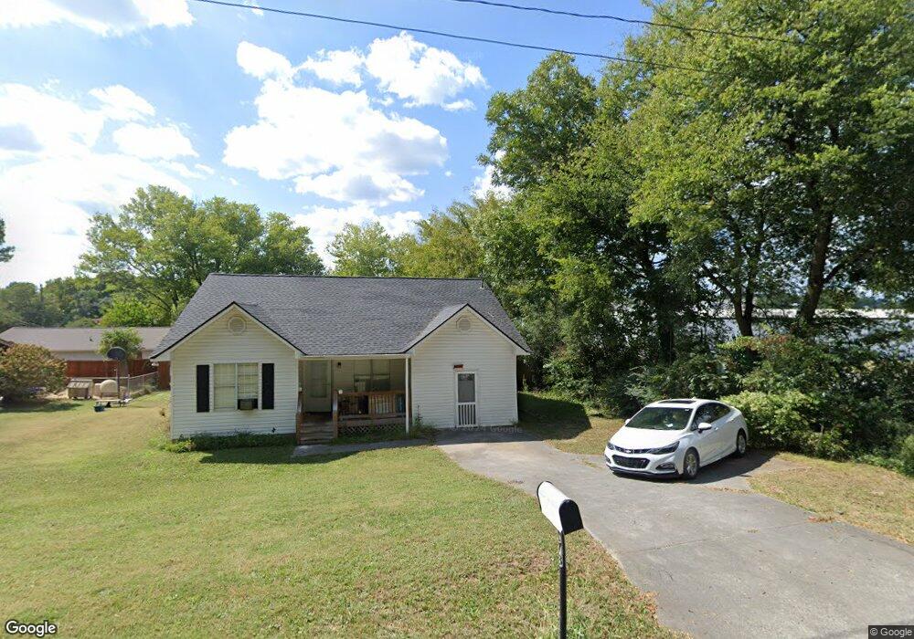
178 Old Dalton Rd NE Calhoun, GA 30701
Estimated Value: $187,000 - $243,000
3
Beds
2
Baths
1,377
Sq Ft
$159/Sq Ft
Est. Value
About This Home
This home is located at 178 Old Dalton Rd NE, Calhoun, GA 30701 and is currently estimated at $218,355, approximately $158 per square foot. 178 Old Dalton Rd NE is a home located in Gordon County with nearby schools including Calhoun Primary School, Calhoun Elementary School, and Calhoun Middle School.
Ownership History
Date
Name
Owned For
Owner Type
Purchase Details
Closed on
Mar 18, 2022
Sold by
Harkins Vicki L
Bought by
Harkins Markgaret
Current Estimated Value
Home Financials for this Owner
Home Financials are based on the most recent Mortgage that was taken out on this home.
Original Mortgage
$60,000
Outstanding Balance
$55,912
Interest Rate
3.69%
Mortgage Type
New Conventional
Estimated Equity
$162,443
Purchase Details
Closed on
Mar 13, 1996
Bought by
Harkins Vicki L
Purchase Details
Closed on
Oct 6, 1995
Bought by
Simpson Stanley
Create a Home Valuation Report for This Property
The Home Valuation Report is an in-depth analysis detailing your home's value as well as a comparison with similar homes in the area
Home Values in the Area
Average Home Value in this Area
Purchase History
| Date | Buyer | Sale Price | Title Company |
|---|---|---|---|
| Harkins Markgaret | $150,000 | -- | |
| Harkins Vicki L | $59,400 | -- | |
| Simpson Stanley | $6,500 | -- |
Source: Public Records
Mortgage History
| Date | Status | Borrower | Loan Amount |
|---|---|---|---|
| Open | Harkins Markgaret | $60,000 |
Source: Public Records
Tax History Compared to Growth
Tax History
| Year | Tax Paid | Tax Assessment Tax Assessment Total Assessment is a certain percentage of the fair market value that is determined by local assessors to be the total taxable value of land and additions on the property. | Land | Improvement |
|---|---|---|---|---|
| 2024 | $2,097 | $74,600 | $4,200 | $70,400 |
| 2023 | $1,687 | $69,280 | $4,200 | $65,080 |
| 2022 | $470 | $51,400 | $4,200 | $47,200 |
| 2021 | $1,208 | $41,200 | $4,200 | $37,000 |
| 2020 | $1,232 | $41,680 | $4,200 | $37,480 |
| 2019 | $1,233 | $41,780 | $4,200 | $37,580 |
| 2018 | $349 | $38,260 | $4,200 | $34,060 |
| 2017 | $335 | $36,100 | $4,200 | $31,900 |
| 2016 | $336 | $36,100 | $4,200 | $31,900 |
| 2015 | $333 | $35,380 | $4,200 | $31,180 |
| 2014 | $310 | $33,462 | $4,200 | $29,262 |
Source: Public Records
Map
Nearby Homes
- 453 Chatsworth Highway 225 NE
- 1215 U S 41
- 228 Woodland Cir NW
- 111 Nike Dr
- 103 Mcginnis Cir
- 208 Mcginnis Cir
- 249 Davis Dr
- 308 Heritage Dr
- 212 Birch Ln
- 211 Birch Ln
- 198 Iracille Ln NE
- 104 Cornwell Way
- 205 Laurel Dr NE
- 00 Mauldin Rd NW
- 000 Mauldin Rd
- 367 Mount Vernon Dr
- 130 Red Oak Ln
- 145 Green Row
- 218 Newtown Rd
- 178 Old Dalton Rd NE
- 390 Cherokee Dr
- 334 Cherokee Dr
- 113 Fire Tower Rd NE
- 174 Old Dalton Rd NE
- 336 Cherokee Dr
- 197 Old Dalton Rd NE
- 173 Old Dalton Rd NE
- 335 Cherokee Dr
- 172 Old Dalton Rd NE
- 324 Cherokee Dr
- 169 Old Dalton Rd NE
- 0 Melba Dr Unit 3889119
- 110 Melba Dr
- 319 Cherokee Dr
- 168 Old Dalton Rd NE
- 314 Cherokee Dr
- 136 Fire Tower Rd NE
- 156 Old Dalton Rd NE
- 134 Fire Tower Rd NE