178 Orbit Rd Statesville, NC 28677
--
Bed
1
Bath
78,350
Sq Ft
8.16
Acres
About This Home
This home is located at 178 Orbit Rd, Statesville, NC 28677. 178 Orbit Rd is a home located in Iredell County with nearby schools including Celeste Henkel Elementary School, West Iredell Middle School, and West Iredell High School.
Ownership History
Date
Name
Owned For
Owner Type
Purchase Details
Closed on
Dec 30, 2024
Sold by
Industrial Development Partners Llc
Bought by
Lester E Osborn Ii Irrevocable Trust and Hensley
Purchase Details
Closed on
Dec 18, 2020
Sold by
Yount Family Limited Partnership
Bought by
Industrial Development Partners Llc
Home Financials for this Owner
Home Financials are based on the most recent Mortgage that was taken out on this home.
Original Mortgage
$1,750,000
Interest Rate
2.8%
Mortgage Type
Future Advance Clause Open End Mortgage
Purchase Details
Closed on
Dec 1, 1997
Purchase Details
Closed on
Jun 1, 1980
Create a Home Valuation Report for This Property
The Home Valuation Report is an in-depth analysis detailing your home's value as well as a comparison with similar homes in the area
Home Values in the Area
Average Home Value in this Area
Purchase History
| Date | Buyer | Sale Price | Title Company |
|---|---|---|---|
| Lester E Osborn Ii Irrevocable Trust | -- | None Listed On Document | |
| Industrial Development Partners Llc | $2,750,000 | Chicago Title Company Llc | |
| -- | -- | -- | |
| -- | -- | -- | |
| -- | $54,000 | -- |
Source: Public Records
Mortgage History
| Date | Status | Borrower | Loan Amount |
|---|---|---|---|
| Previous Owner | Industrial Development Partners Llc | $1,750,000 |
Source: Public Records
Tax History Compared to Growth
Tax History
| Year | Tax Paid | Tax Assessment Tax Assessment Total Assessment is a certain percentage of the fair market value that is determined by local assessors to be the total taxable value of land and additions on the property. | Land | Improvement |
|---|---|---|---|---|
| 2024 | $9,102 | $1,542,790 | $139,390 | $1,403,400 |
| 2023 | $9,102 | $1,542,790 | $139,390 | $1,403,400 |
| 2022 | $5,934 | $945,720 | $111,510 | $834,210 |
| 2021 | $5,934 | $945,720 | $111,510 | $834,210 |
| 2020 | $5,934 | $945,720 | $111,510 | $834,210 |
| 2019 | $5,840 | $945,720 | $111,510 | $834,210 |
| 2018 | $5,354 | $896,050 | $111,510 | $784,540 |
| 2017 | $5,354 | $896,050 | $111,510 | $784,540 |
| 2016 | $5,354 | $896,050 | $111,510 | $784,540 |
| 2015 | $5,354 | $896,050 | $111,510 | $784,540 |
| 2014 | $4,684 | $844,000 | $139,390 | $704,610 |
Source: Public Records
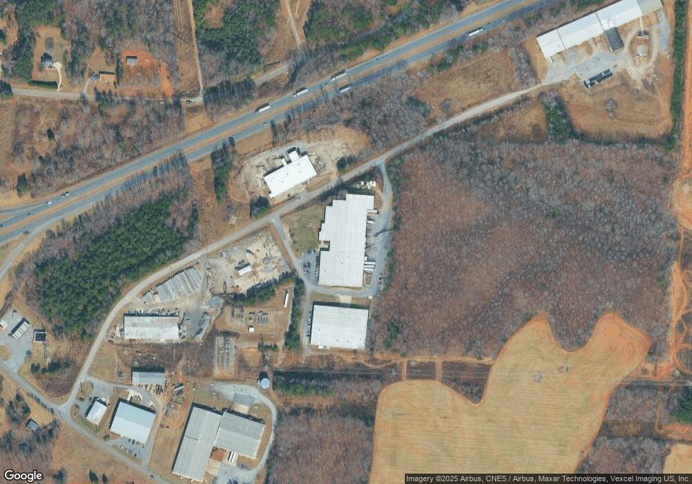
Map
Nearby Homes
- 153 Larue Cir
- 0 Lippard Farm Rd
- 000 Fonda Rd
- 3119 Hickory Hwy
- 2844 Hickory Hwy
- 214 Mock Mill Rd
- 230 Mock Mill Rd
- 270 Lewis Ferry Rd
- 115 Three Oaks Ln
- 152 Colonial Heights Ln
- 1384 Old Mountain Rd
- 109 Gatwick Ct
- 130 Greenwich Dr
- 140 Swan Park Ln Unit 16
- 128 Swan Park Ln Unit 18
- 104 Swan Park Ln Unit 22
- 118 Heathrow Ln
- 368 Lippard Farm Rd
- 00 Jamie Dr Unit 6
- 103 Dublin Ct
- 166 Orbit Rd
- 0 Larue Cir Unit 755365
- 0 Larue Cir Unit 2
- 00 Larue Cir Unit 2
- 0 Larue Cir Unit 20 3458271
- 00 Larue Cir Unit 21
- 126 Orbit Rd
- TBD Larue Cir
- 253 Larue Cir
- 128 Brothers Ln
- 315 Larue Cir
- 161 Yang Dr
- 271 Larue Cir
- 136 Brothers Ln
- 270 Larue Cir
- 307 Larue Cir
- 1828 Old Mountain Rd
- 1905 Old Mountain Rd
- 142 Brothers Ln
- 143 Brothers Ln