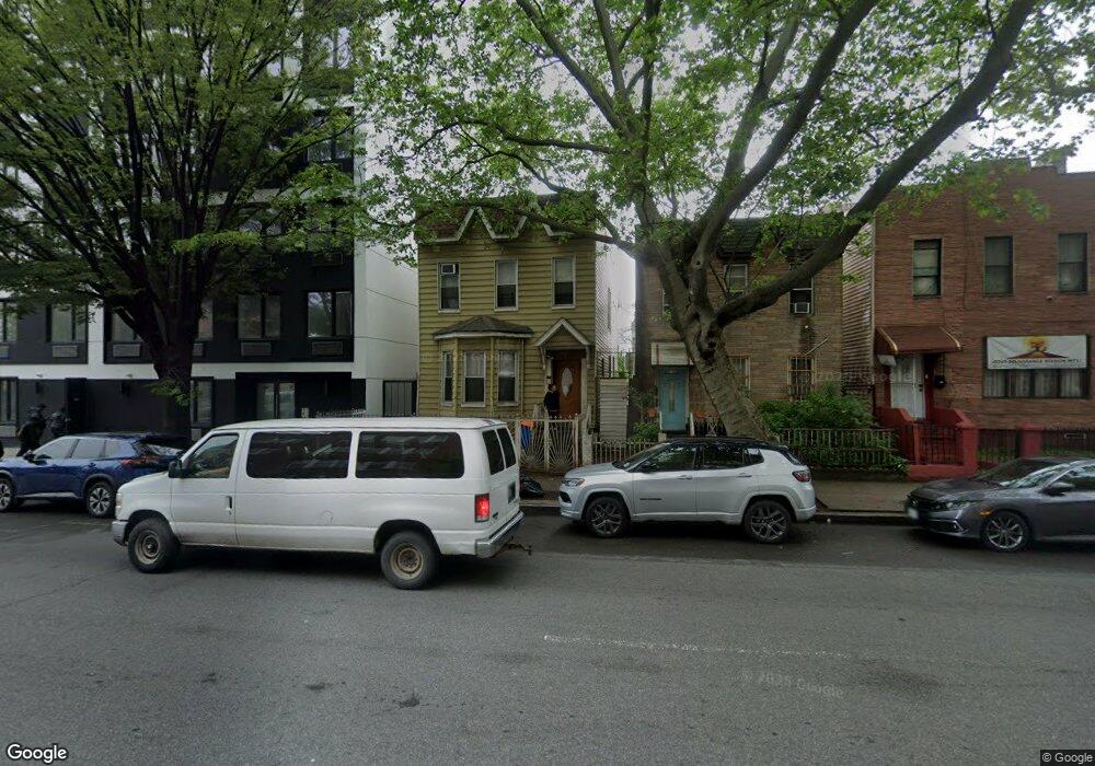
178 Pennsylvania Ave Brooklyn, NY 11207
Brownsville NeighborhoodEstimated Value: $884,806 - $1,209,000
--
Bed
--
Bath
2,099
Sq Ft
$476/Sq Ft
Est. Value
About This Home
This home is located at 178 Pennsylvania Ave, Brooklyn, NY 11207 and is currently estimated at $998,202, approximately $475 per square foot. 178 Pennsylvania Ave is a home located in Kings County with nearby schools including J.H.S 292 Margaret S. Douglas, Hyde Leadership Charter School-Brooklyn, and Trey Whitfield School.
Ownership History
Date
Name
Owned For
Owner Type
Purchase Details
Closed on
Mar 4, 2009
Sold by
Otero Pablo
Bought by
Ahuatl Margarito and Chauca Milton
Current Estimated Value
Home Financials for this Owner
Home Financials are based on the most recent Mortgage that was taken out on this home.
Original Mortgage
$473,850
Outstanding Balance
$301,464
Interest Rate
5.14%
Mortgage Type
Purchase Money Mortgage
Estimated Equity
$696,738
Create a Home Valuation Report for This Property
The Home Valuation Report is an in-depth analysis detailing your home's value as well as a comparison with similar homes in the area
Home Values in the Area
Average Home Value in this Area
Purchase History
| Date | Buyer | Sale Price | Title Company |
|---|---|---|---|
| Ahuatl Margarito | $572,400 | -- |
Source: Public Records
Mortgage History
| Date | Status | Borrower | Loan Amount |
|---|---|---|---|
| Open | Ahuatl Margarito | $473,850 |
Source: Public Records
Tax History Compared to Growth
Tax History
| Year | Tax Paid | Tax Assessment Tax Assessment Total Assessment is a certain percentage of the fair market value that is determined by local assessors to be the total taxable value of land and additions on the property. | Land | Improvement |
|---|---|---|---|---|
| 2025 | $3,332 | $62,220 | $16,500 | $45,720 |
| 2024 | $3,332 | $53,880 | $16,500 | $37,380 |
| 2023 | $3,179 | $57,000 | $16,500 | $40,500 |
| 2022 | $2,954 | $57,900 | $16,500 | $41,400 |
| 2021 | $2,940 | $45,180 | $16,500 | $28,680 |
| 2020 | $1,462 | $50,520 | $16,500 | $34,020 |
| 2019 | $2,892 | $50,520 | $16,500 | $34,020 |
| 2018 | $2,659 | $13,046 | $4,338 | $8,708 |
| 2017 | $2,513 | $12,330 | $5,495 | $6,835 |
| 2016 | $2,328 | $11,643 | $6,075 | $5,568 |
| 2015 | $1,403 | $11,643 | $6,945 | $4,698 |
| 2014 | $1,403 | $11,520 | $6,088 | $5,432 |
Source: Public Records
Map
Nearby Homes
- 34&36 Marginal St
- 297 Pennsylvania Ave
- 243 Wyona St
- 317 Pennsylvania Ave
- 45 Hinsdale St
- 459 Belmont Ave
- 663 Sutter Ave
- 667 Sutter Ave
- 159 Wyona St
- 207 Bradford St
- 342 Wyona St
- 353 Pennsylvania Ave
- 22 Hinsdale St
- 444 New Jersey Ave
- 2210 Pitkin Ave
- 637 Blake Ave
- 90 Wyona St
- 439 Vermont St
- 297 Hinsdale St
- 279 van Siclen Ave
- 176 Pennsylvania Ave
- 180 Pennsylvania Ave
- 172 Pennsylvania Ave
- 184 Pennsylvania Ave
- 170 Pennsylvania Ave
- 186 Pennsylvania Ave
- 375 Glenmore Ave
- 373 Glenmore Ave
- 161 Sheffield Ave
- 166 Pennsylvania Ave
- 165 Sheffield Ave
- 371 Glenmore Ave
- 157 Sheffield Ave
- 164 Pennsylvania Ave
- 369 Glenmore Ave
- 159 Sheffield Ave
- 155 Sheffield Ave
- 153 Sheffield Ave
- 367 Glenmore Ave
- 158 Pennsylvania Ave