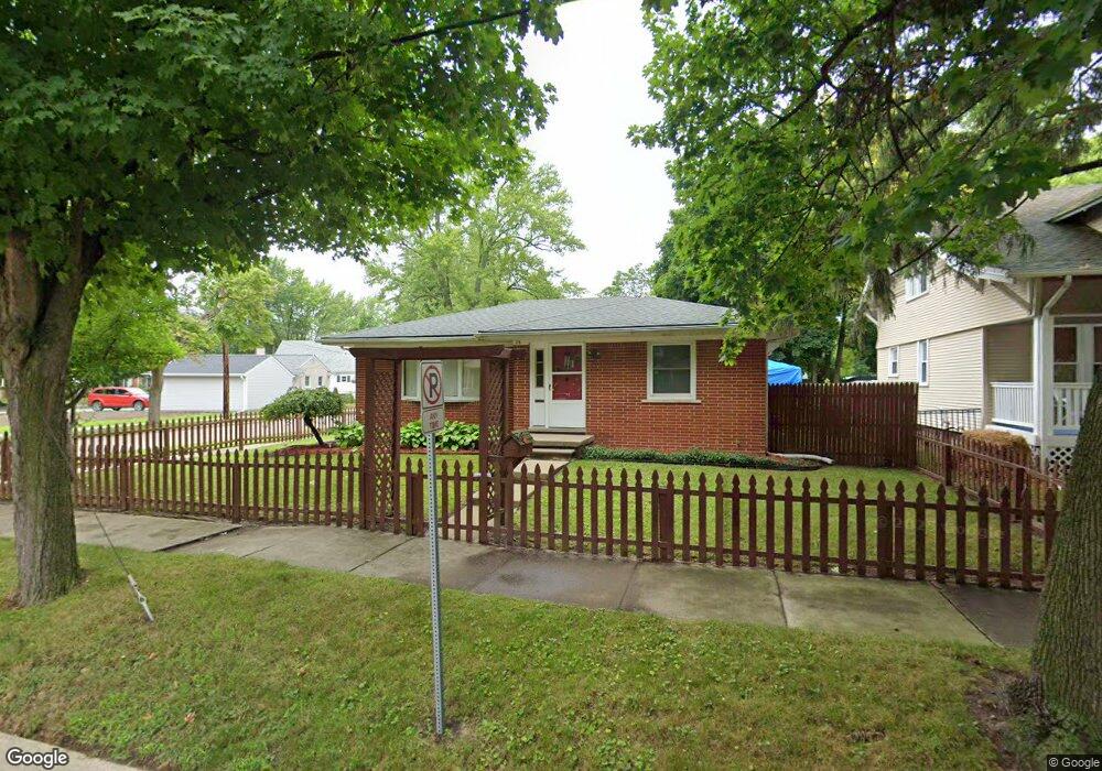
178 Robertson St Mount Clemens, MI 48043
Estimated Value: $159,000 - $197,427
2
Beds
1
Bath
940
Sq Ft
$187/Sq Ft
Est. Value
About This Home
This home is located at 178 Robertson St, Mount Clemens, MI 48043 and is currently estimated at $176,107, approximately $187 per square foot. 178 Robertson St is a home located in Macomb County with nearby schools including Mount Clemens High School, Mt. Clemens Montessori Academy, and Montessori Stepping Stones School.
Ownership History
Date
Name
Owned For
Owner Type
Purchase Details
Closed on
Apr 18, 2017
Sold by
Singh Balijit
Bought by
Singh Ravipaul
Current Estimated Value
Purchase Details
Closed on
Mar 21, 2011
Sold by
Pnc Bank National Association
Bought by
Singh Baljit
Purchase Details
Closed on
Jan 8, 2010
Sold by
Roupe Gregory P and Roupe Neisha M
Bought by
Pnc Bank National Association
Purchase Details
Closed on
Nov 30, 1999
Sold by
May Joseph G
Bought by
Roupe Gregory P
Create a Home Valuation Report for This Property
The Home Valuation Report is an in-depth analysis detailing your home's value as well as a comparison with similar homes in the area
Home Values in the Area
Average Home Value in this Area
Purchase History
| Date | Buyer | Sale Price | Title Company |
|---|---|---|---|
| Singh Ravipaul | -- | None Available | |
| Singh Baljit | $21,000 | None Available | |
| Pnc Bank National Association | $44,100 | None Available | |
| Roupe Gregory P | $93,000 | -- |
Source: Public Records
Tax History Compared to Growth
Tax History
| Year | Tax Paid | Tax Assessment Tax Assessment Total Assessment is a certain percentage of the fair market value that is determined by local assessors to be the total taxable value of land and additions on the property. | Land | Improvement |
|---|---|---|---|---|
| 2025 | $3,379 | $82,700 | $0 | $0 |
| 2024 | $3,312 | $69,800 | $0 | $0 |
| 2023 | $3,182 | $64,000 | $0 | $0 |
| 2022 | $3,063 | $57,200 | $0 | $0 |
| 2021 | $2,989 | $55,300 | $0 | $0 |
| 2020 | $2,867 | $47,600 | $0 | $0 |
| 2019 | $2,820 | $44,900 | $0 | $0 |
| 2018 | $2,763 | $45,700 | $0 | $0 |
| 2017 | $2,709 | $40,757 | $8,764 | $31,993 |
| 2016 | $2,695 | $40,757 | $0 | $0 |
| 2015 | $2,425 | $37,653 | $0 | $0 |
| 2013 | -- | $34,291 | $8,764 | $25,527 |
Source: Public Records
Map
Nearby Homes
- 11 Southbound Gratiot Ave
- 129 South Ave
- 110 Smith St
- 9 Queen St
- 43 Southbound Gratiot Ave
- 43 Northbound Gratiot Ave
- 75 Church St
- 38 Northbound Gratiot Ave
- Gratiot Gratiot Ave
- 111 Kibbee St
- 5 River Bluff Dr Unit 104B
- 55 Meadle St
- 84 Moross St
- 377 Wellington Crescent
- 392 Cambridge Dr
- 119 Floral Ave Unit 16
- 147 Barbara St
- 162 Barbara St
- 15 Washington St
- 236 Cass Ave
- 53 Leslie St
- 174 Robertson St
- 180 Robertson St
- 0 Robertson Unit 4535600
- 77 Smith St
- 170 Robertson St Unit 172
- 170 & 172 Robertson
- 181 Robertson St
- 73 Smith St Unit Bldg-Unit
- 73 Smith St
- 170 & 172 Robertson
- 173 Robertson St
- 158 South Ave
- 184 Robertson St Unit 12
- 171 Robertson St
- 71 Smith St
- 187 Robertson St
- 74 Smith St
- 44 Leslie St
- 167 Robertson St Unit 169