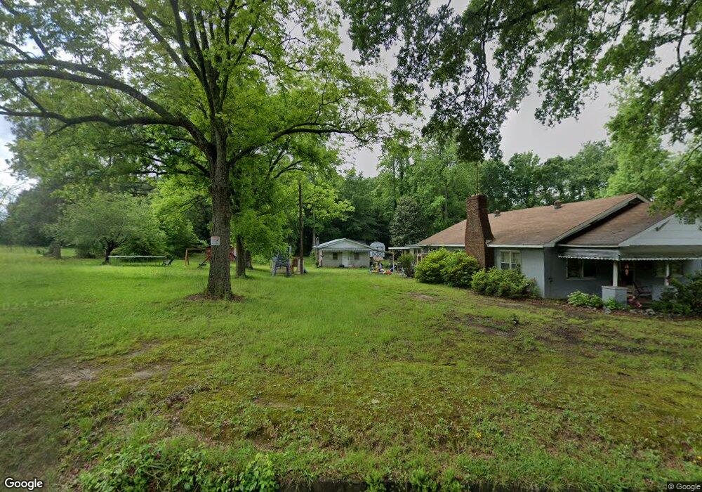
178 Scruggs Rd Chesnee, SC 29323
Estimated Value: $104,000 - $243,000
4
Beds
1
Bath
1,714
Sq Ft
$118/Sq Ft
Est. Value
About This Home
This home is located at 178 Scruggs Rd, Chesnee, SC 29323 and is currently estimated at $201,477, approximately $117 per square foot. 178 Scruggs Rd is a home located in Spartanburg County with nearby schools including Chesnee Elementary School, Chesnee Middle School, and Chesnee High School.
Ownership History
Date
Name
Owned For
Owner Type
Purchase Details
Closed on
Jun 29, 2018
Sold by
White Wilmer E and Belcher Hattie E
Bought by
Price Jimmy R and Price Crystal D
Current Estimated Value
Home Financials for this Owner
Home Financials are based on the most recent Mortgage that was taken out on this home.
Original Mortgage
$65,151
Outstanding Balance
$56,471
Interest Rate
4.6%
Mortgage Type
New Conventional
Estimated Equity
$145,006
Purchase Details
Closed on
Mar 9, 2018
Sold by
Lee Sherri
Bought by
Lee Sherri
Purchase Details
Closed on
May 5, 2015
Sold by
Estate Of Willie H Elder
Bought by
Elder Mamie S and White Wilmer E
Create a Home Valuation Report for This Property
The Home Valuation Report is an in-depth analysis detailing your home's value as well as a comparison with similar homes in the area
Home Values in the Area
Average Home Value in this Area
Purchase History
| Date | Buyer | Sale Price | Title Company |
|---|---|---|---|
| Price Jimmy R | $62,500 | None Available | |
| Lee Sherri | -- | None Available | |
| Elder Mamie S | -- | -- |
Source: Public Records
Mortgage History
| Date | Status | Borrower | Loan Amount |
|---|---|---|---|
| Open | Price Jimmy R | $65,151 |
Source: Public Records
Tax History Compared to Growth
Tax History
| Year | Tax Paid | Tax Assessment Tax Assessment Total Assessment is a certain percentage of the fair market value that is determined by local assessors to be the total taxable value of land and additions on the property. | Land | Improvement |
|---|---|---|---|---|
| 2025 | $2,183 | $6,024 | $1,729 | $4,295 |
| 2024 | $2,183 | $6,024 | $1,729 | $4,295 |
| 2023 | $2,183 | $6,024 | $1,729 | $4,295 |
| 2022 | $1,997 | $5,238 | $1,410 | $3,828 |
| 2021 | $1,951 | $5,238 | $1,410 | $3,828 |
| 2020 | $1,934 | $5,238 | $1,410 | $3,828 |
| 2019 | $1,934 | $5,238 | $1,410 | $3,828 |
| 2018 | $1,882 | $5,238 | $1,410 | $3,828 |
| 2017 | $281 | $4,596 | $1,500 | $3,096 |
| 2016 | $121 | $4,596 | $1,500 | $3,096 |
| 2015 | $212 | $4,596 | $1,500 | $3,096 |
| 2014 | $160 | $2,751 | $898 | $1,853 |
Source: Public Records
Map
Nearby Homes
- 164 Old Airport Rd
- 803 Battleground Rd
- 236 Overhead Bridge Rd
- 616 Mcarthur St
- 1072 Piedmont Rd
- 1082 Piedmont Rd
- 248 Jonestown Rd
- 525 Island Creek Rd
- 312 E Union St
- 310 Lexington St
- 308 Lexington St
- 313 S Georgia Ave
- 109 Mckinney St
- 309 S Lee St
- 384 Edgefield St
- 405 Edgefield St
- 303 Edgefield St
- 254 S 1516
- 250 S 1516
- 281 Richland St